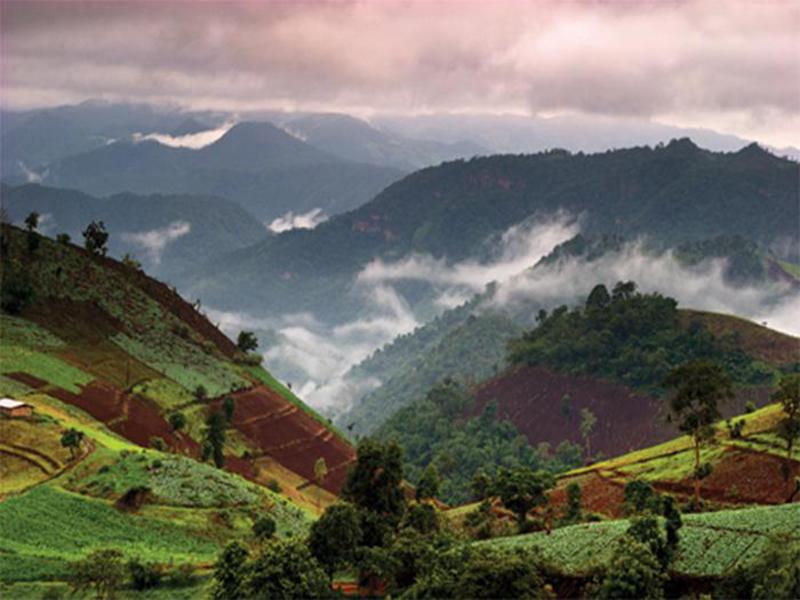
“Places of interest such as Suan Son Bor Kaew (Km 36), mineral water (at the junction. Chaem) village of Hmong (Miao), Karen, and the surrounding scenery. Plots and planted flowers in winter Doi Mae Tho Camping and trekking is possible by contacting the national park office.”
Mae Tho National Park encompasses steep mountains (400 - 1,699 metres above mean sea level), extending northwards in the same range of Doi Inthanon. Mountains in the northern part of the area are about 20%-40% more steep than those in the southern part. The average altitude of the area is 1,000 metres above sea level. Doi Kio Rai-mong, the highest peak at 1,699 m, is located at Ban Pang Hin-fon.
Watershed Development Unit Unit 6 (the bowl) located in the area Sub Lee removed the district Hod Hod route - Cork. Up to 55 miles, then turn right on the path to a jar which is 16 km away from the city. Distance of about 160 kilometers.
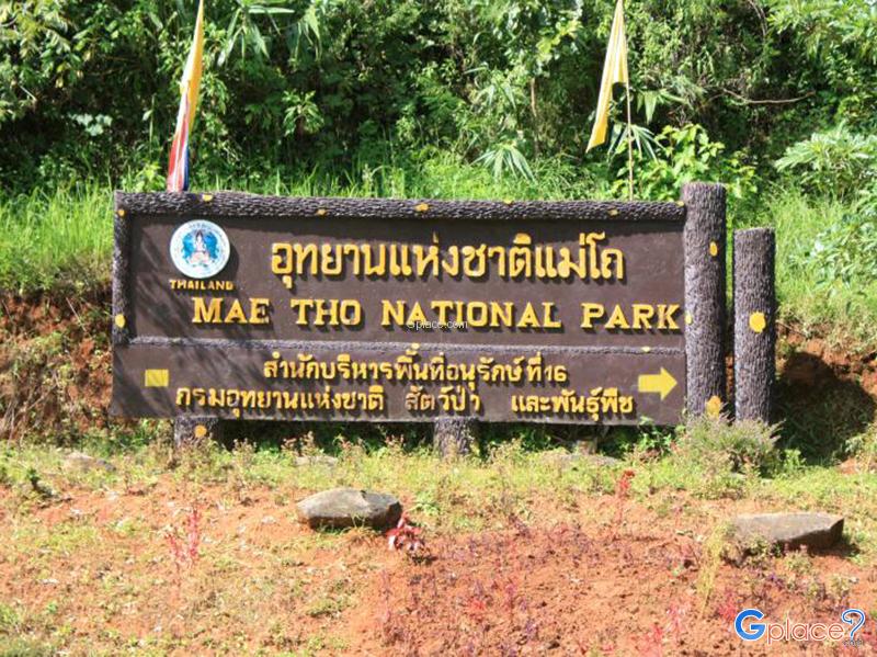
Mae Tho National Park
![]() Mae Tho Village, , Hot District, Chiang Mai
Map
Mae Tho Village, , Hot District, Chiang Mai
Map
![]() ไม่ทราบเวลาเปิดปิดที่แน่นอน
ไม่ทราบเวลาเปิดปิดที่แน่นอน
![]()
 2749
2749