


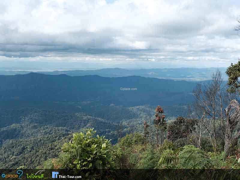
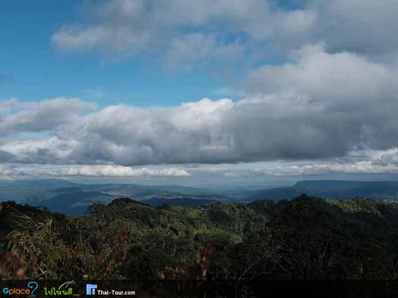
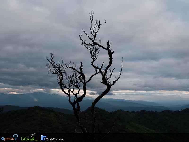
“360-degree sea of fog, dense natural pine forests, very cold weather, and rich hiking trails. Offers a serene atmosphere and spectacular layered mountain views.”
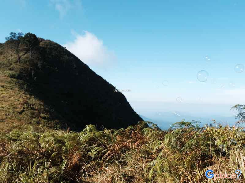
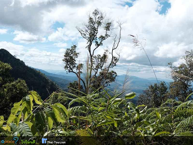
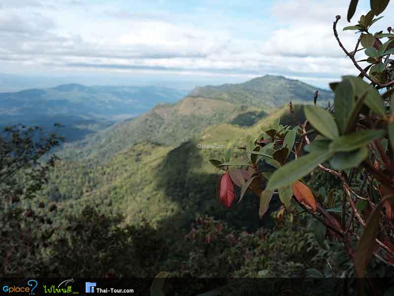
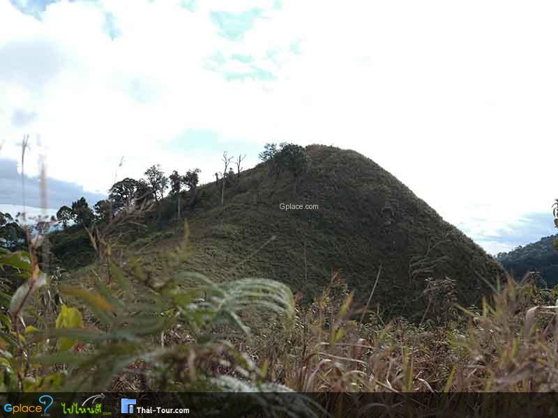
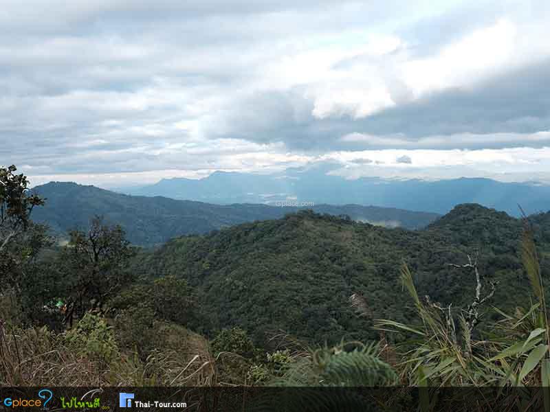
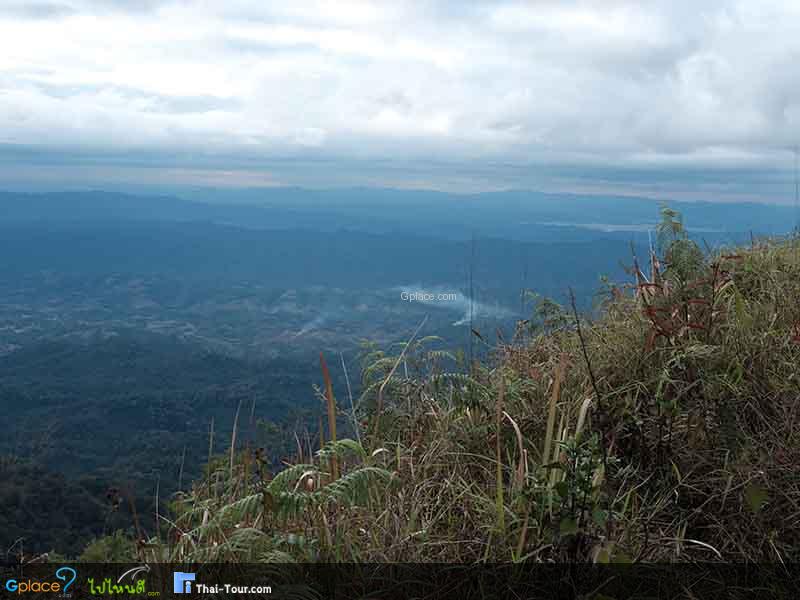
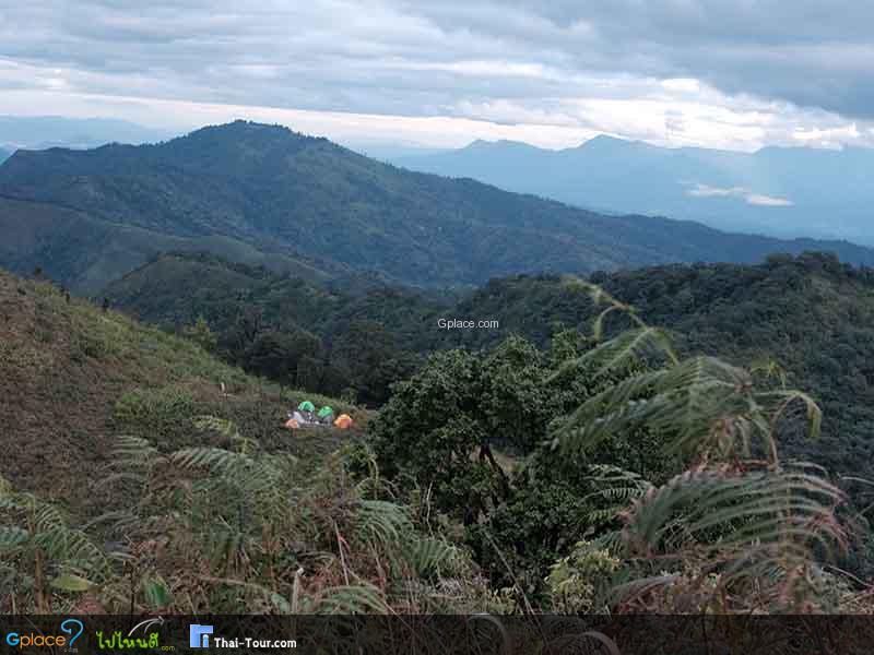
Doi Phu Miang is a high peak in the Luang Prabang mountain range, approximately 1,656 meters above mean sea level (with Phu Miang peak at about 1,564 meters according to some sources). The area features complex, continuous high mountains running in a northeast-southwest direction, with numerous ridges, steep cliffs, and deep valleys. Flat areas are relatively scarce, and it serves as an important watershed forest.
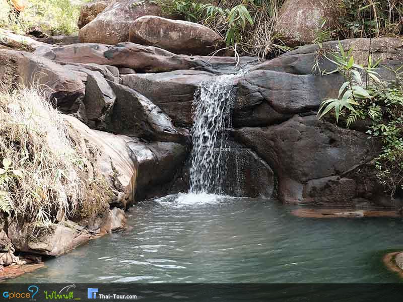
Key waterways include Nam Phak, Nam Tron, Huai Nam Chuang, Huai Phang Nga, and Huai Niam, which play a vital role in the ecosystem and downstream basins, including the upper Chao Phraya River basin.
Geologically, the area consists of sedimentary and metamorphic rocks, having undergone long processes of uplift and erosion, forming ridges, cliffs, deep valleys, and moisture accumulation basins. These are crucial factors for the formation of dense, 360-degree sea of fog.
Climatically, the area experiences neither excessive heat nor cold, with seasonal rainfall (April–November). The drizzly rain keeps the forest moist all year, and dense fog forms during the late rainy season to early winter, which is the best time to visit.
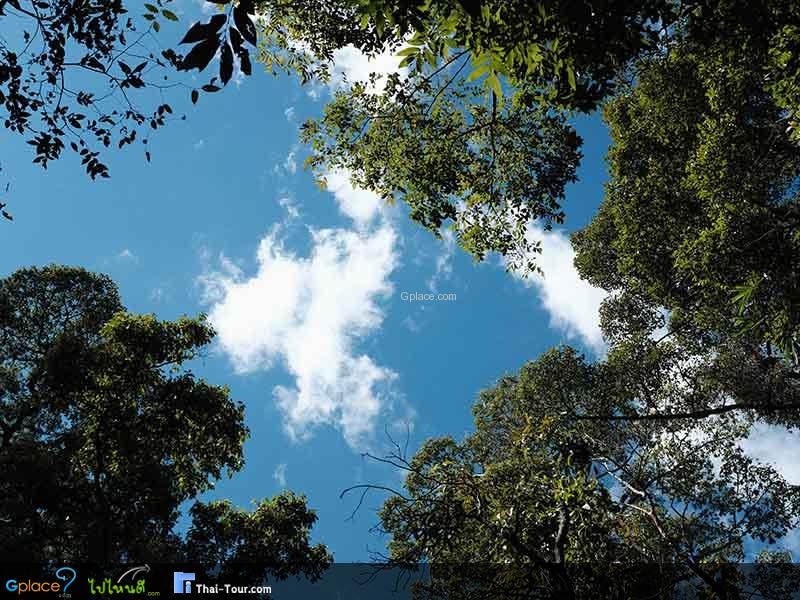
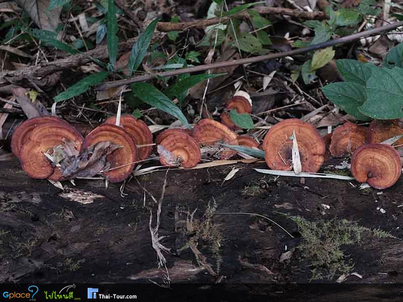
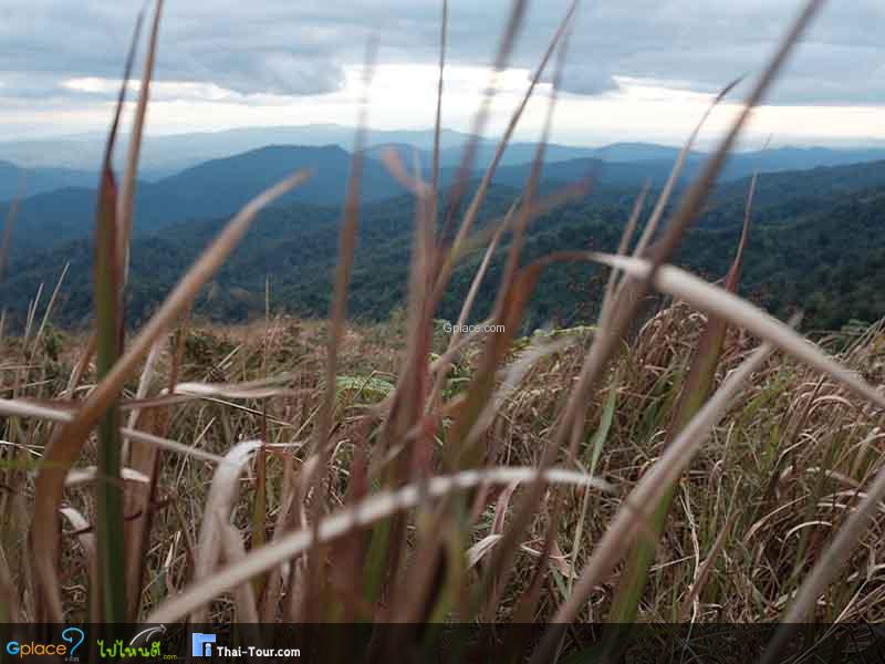
Forest types and flora include: Foothills: Deciduous Dipterocarp Forest + Mixed Deciduous Forest, and Ridges: Evergreen Forest, Dry Evergreen Forest, Montane Evergreen Forest, interspersed with grasslands and bamboo forests. Important plant species include Shorea spp., Dipterocarpus spp., Hevea brasiliensis, Hopea odorata, Pterocarpus macrocarpus, Dalbergia cochinchinensis, Fagraea fragrans, Afzelia xylocarpa, Syzygium spp., Ficus spp., etc. Understory plants include wild bananas, bamboo, rattan, Salacca spp., various herbs, as well as numerous orchids and ferns.
Wildlife includes prominent species such as serow, gaur, wild elephant, tiger, leopard, Asiatic golden cat. Other animals include deer, barking deer, wild boar, bear, monkeys, langurs, gibbons, squirrels, and otters. Birds found include hornbills, woodpeckers, parrots, minivets, and reptiles such as pythons, reticulated pythons, king cobras, turtles, softshell turtles, and monitor lizards.
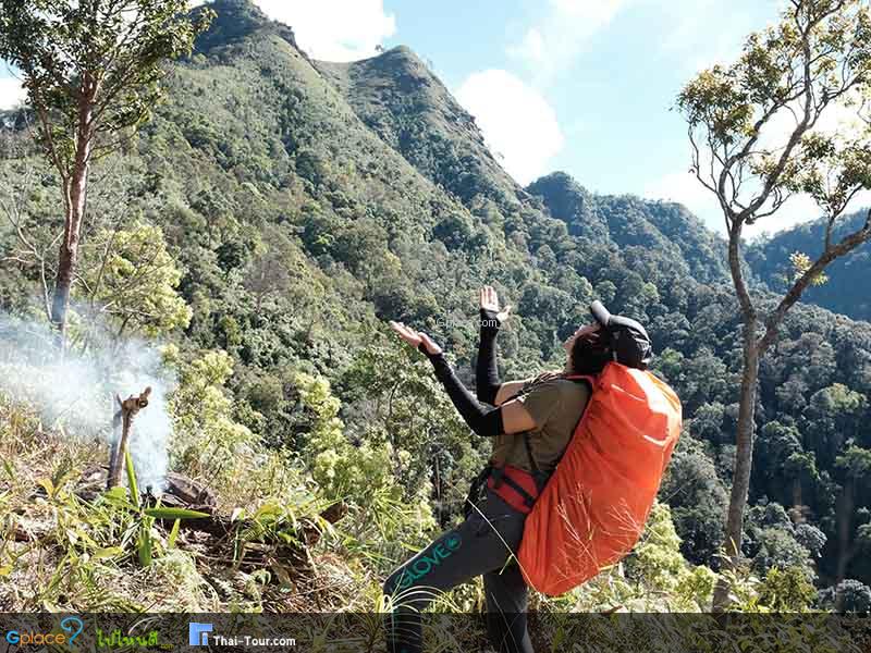
Key attractions and viewpoints include Phu Miang Peak (steep cliff, highest point), Phu Thong Peak (viewpoint), and natural waterfalls such as Tat Chuang Waterfall, Huai Sai Waterfall, and Huai Koi Waterfall.
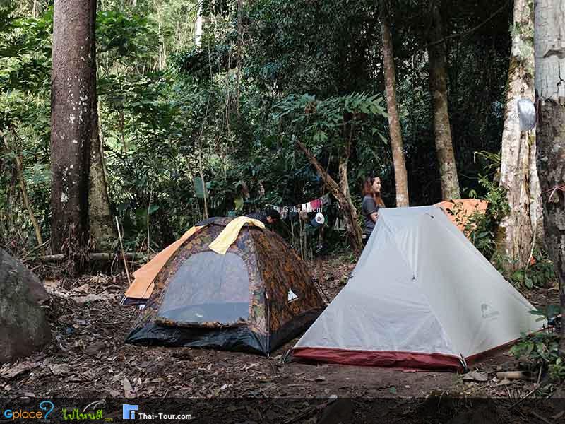
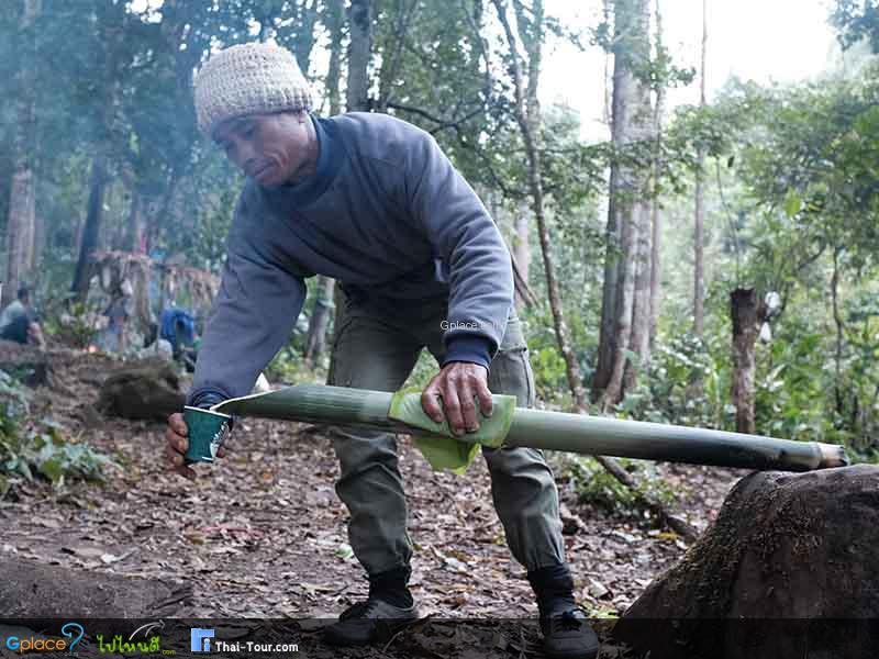
Popular tourist activities include Camping, watching the sea of fog and sunrise, photographing stars and the Milky Way, as well as nature hiking.
Area management is under the supervision of the Watershed Management Unit, focusing on conservation. Tourists should adhere to the principles of Leave No Trace.
Facilities include restrooms and water. Visitors should prepare their own food, drinking water, camping equipment, and safety gear, as facilities in the area are limited.
How to Get There
- By Car: From Uttaradit city, take the route to Nam Pat District, then head towards Nam Phai Sub-district. The road up the mountain is paved in some sections, interspersed with gravel roads. A 4-wheel drive (4WD) vehicle or a high-powered pickup truck is recommended due to the steep and narrow path.
Travel Tips
- Nov. – Jan. offers the most beautiful sea of fog.
- It gets very cold; prepare warm clothing.
- Check the weather before traveling.
- Contact officials in advance.
- Prepare sufficient food and water.
Admission Fee:
- No admission fee
(There might be a camping/maintenance fee)
Opening Hours:
- Open daily 24 hours
(Recommended to arrive before dark)
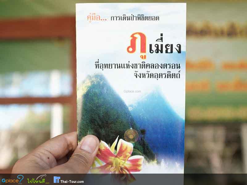
Doi Phu Miang
![]() Nam Phai Sub-district, Nam Pat District, Uttaradit Province 53110
Map
Nam Phai Sub-district, Nam Pat District, Uttaradit Province 53110
Map
![]() Open now
Open now
![]()
 51
51