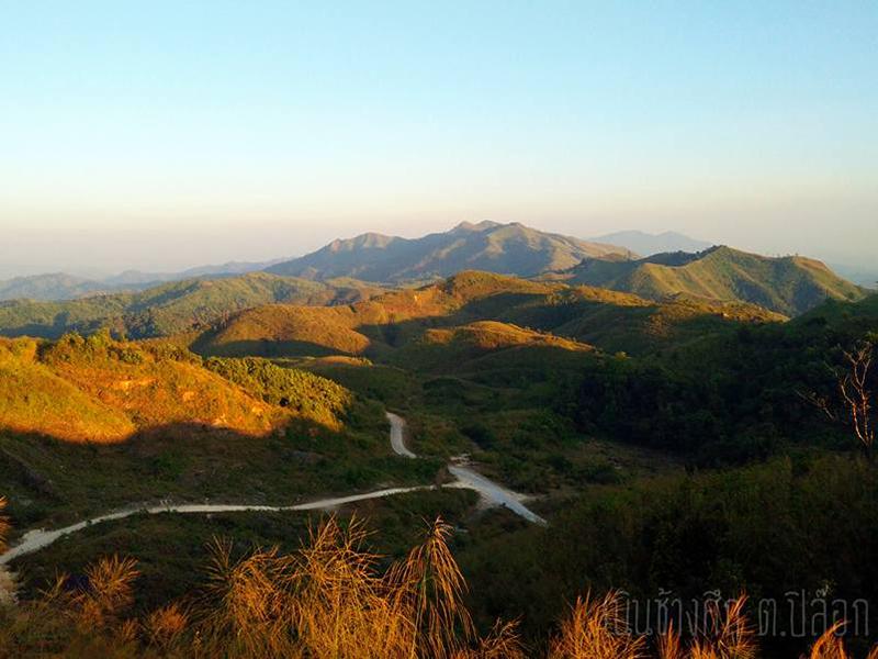
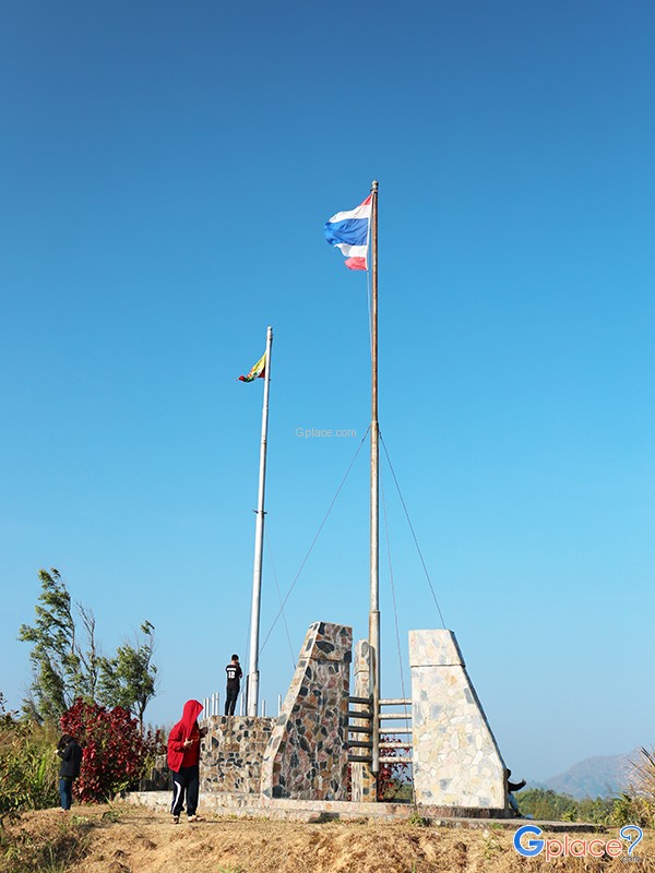

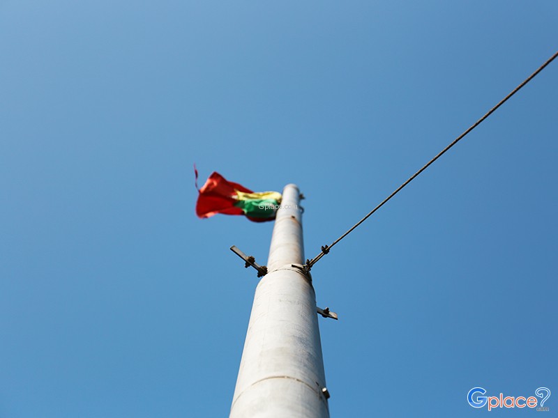
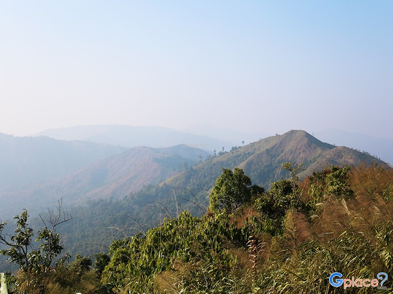


“Witness the stunning Thai-Myanmar border panoramas atop the Tanaosri Range, featuring dual national flags, refreshing mountain breezes, and spectacular seas of mist throughout the seasons.”
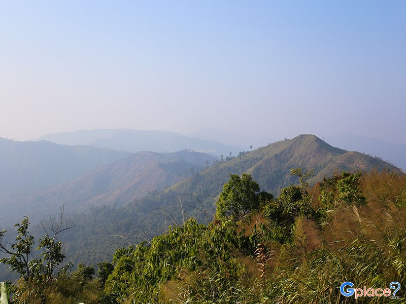
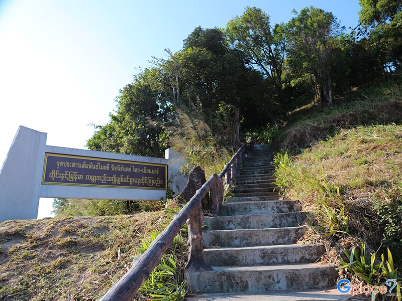
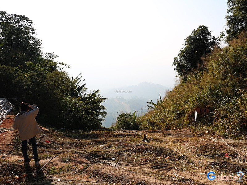
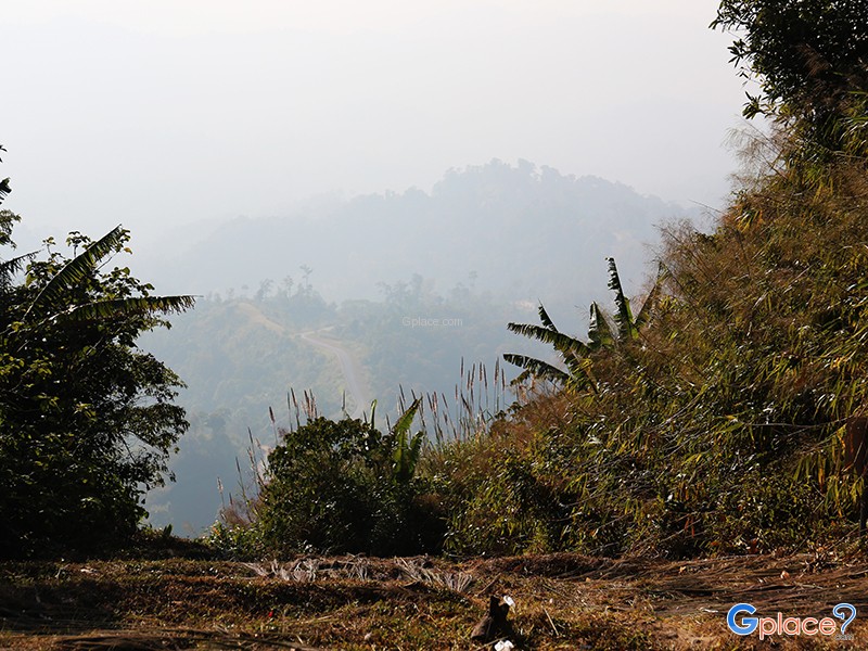
Noen Sao Thong is a border viewpoint located above Ban E-Tong village in Pilok Subdistrict, Thong Pha Phum District, Kanchanaburi Province. Situated on the Tenasserim Mountains, which form the natural border between Thailand and Myanmar, the hill enjoys cool temperatures year-round. During the rainy and winter seasons, a sea of fog often blankets the valleys, making it one of the most famous viewpoints on the western side of Kanchanaburi Province. Tourists visiting Ban E-Tong and the Pilok mine often ascend to this hill in the early morning and evening to experience the tranquil natural atmosphere and fresh air.
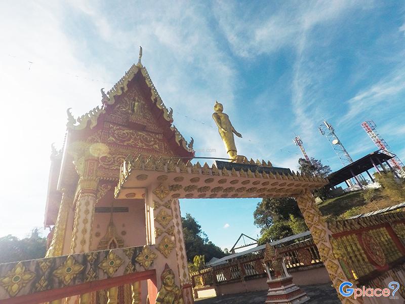
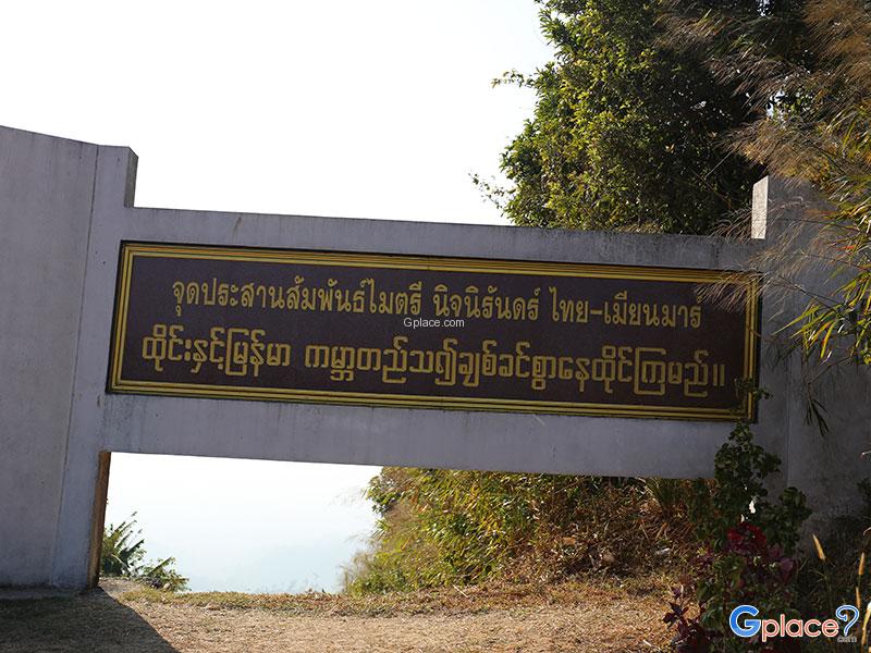
The area around Noen Sao Thong is notable for its close view of the Thai-Myanmar border, with Thai and Myanmar national flagpoles situated on opposite sides of the hill. Surrounded by lush green mountains stretching as far as the eye can see, the atmosphere remains simple and reflects the border lifestyle. Tourists can see communities on the Myanmar side from the viewpoint, and at certain times, fog drifts beautifully along the mountain ridges, making this a popular spot for photography among visitors to Thong Pha Phum. In addition, nearby attractions include The "Thai-Myanmar Friendship Pass" is another important landmark in Ban E-Tong that tourists often visit on foot.
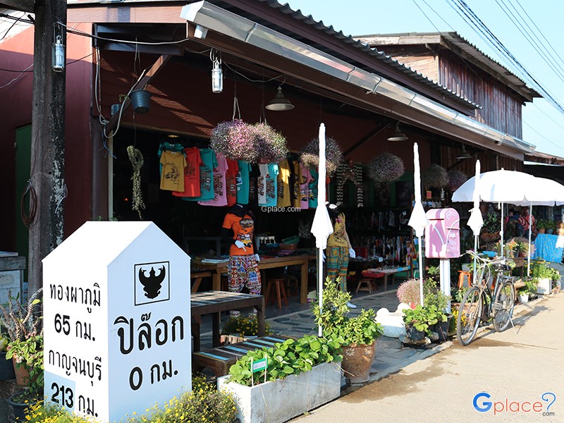
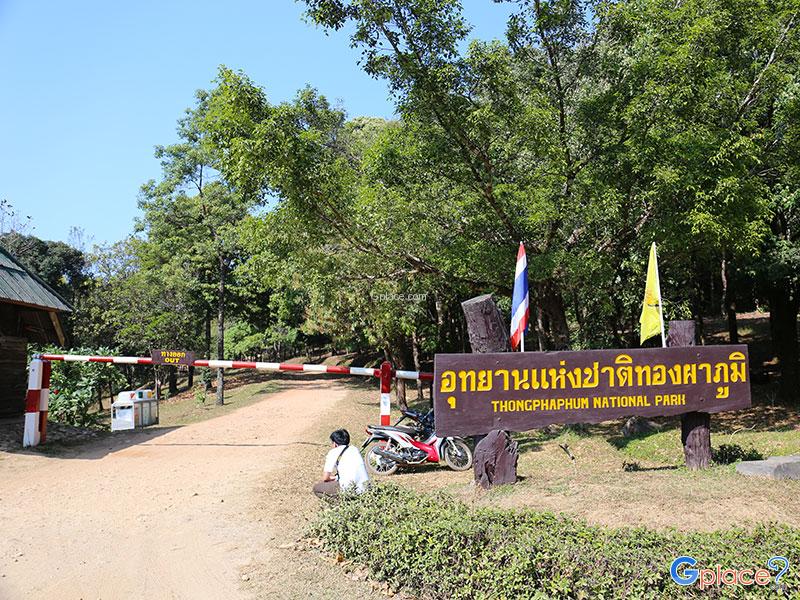
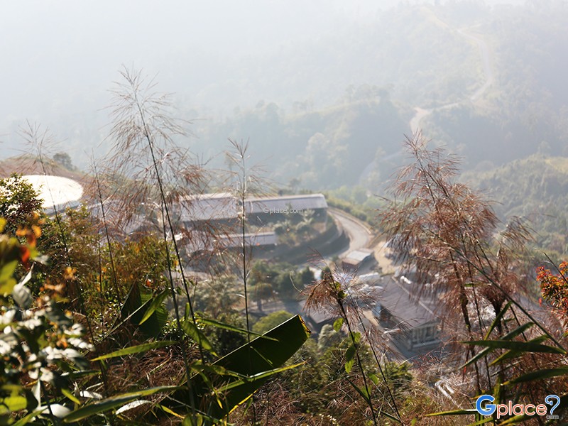
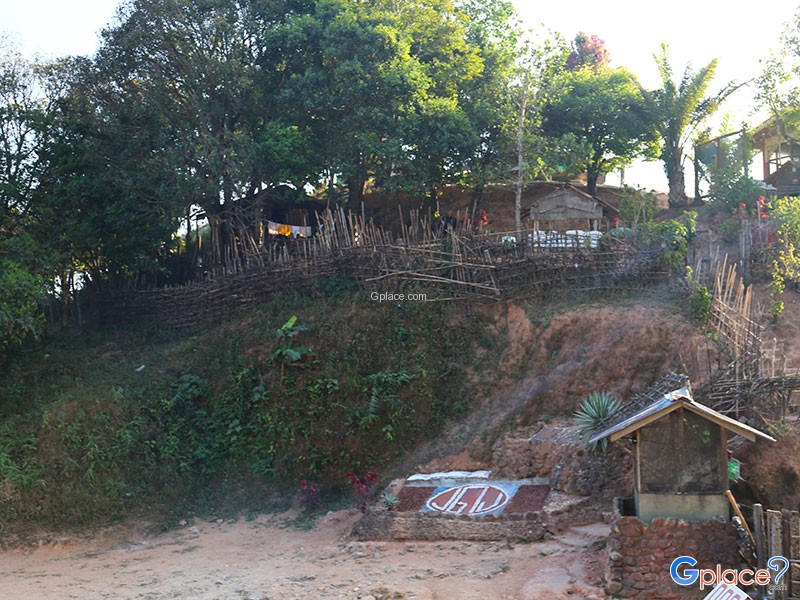
In the past, the Ban E-Tong and Pilok areas flourished due to the tin mining industry. Labor and people from various regions settled there, resulting in a diverse cultural mix of Thai, Mon, and Myanmar influences in this border community. The Flagpole Hill itself was historically significant for border security and surveillance. Although the mining industry has declined, the charm of this mountain village has become popular as a natural and lifestyle tourism destination. People still live simply amidst the abundant natural environment and cool climate almost year-round.
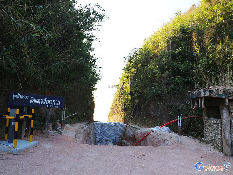
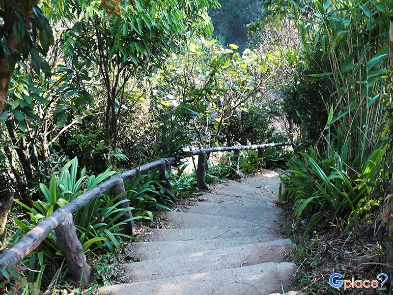
The route to Flagpole Hill is accessible from Ban E-Tong village, approximately 1 kilometer away. Some sections of the road are steep and narrow. Tourists can use private cars, local minibuses, or hike up to enjoy the view. Along the way, visitors will experience the forest atmosphere and the cool mountain air, distinctly different from the plains of Kanchanaburi province. This is especially noticeable during the rainy season when nature is particularly lush, and in winter when temperatures can drop, creating a chilly breeze throughout the day. Many compare this place to a small town nestled in a valley.
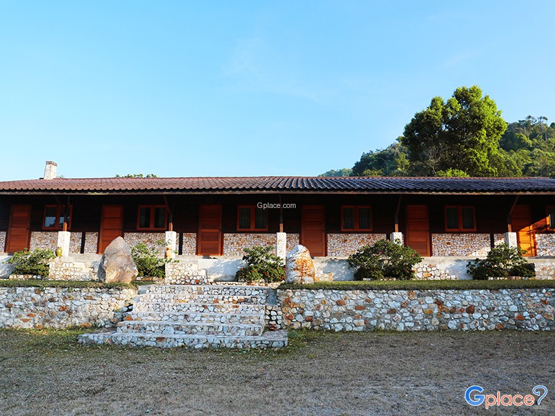
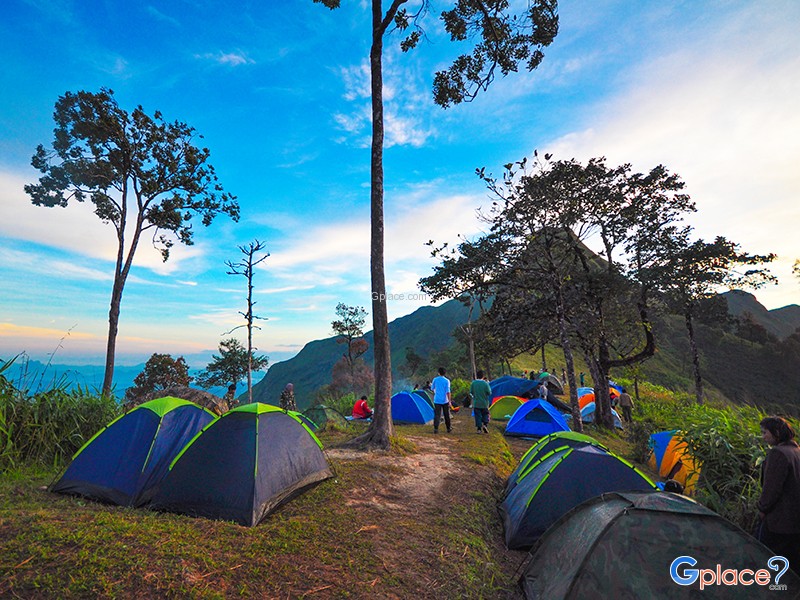
Besides its natural beauty Noen Sao Thong also reflects the charm of border tourism, seamlessly blending history, lifestyle, and landscape. Many tourists prefer to stay overnight in Ban E-Tong to experience the morning mist, explore the local market, and watch the sunrise or sunset from the viewpoint on Flagpole Hill. The atmosphere changes with each season, but the late rainy season and early winter are the most popular times to see thick fog, cool weather, and clear, beautiful mountain views along the border.
How to Get There
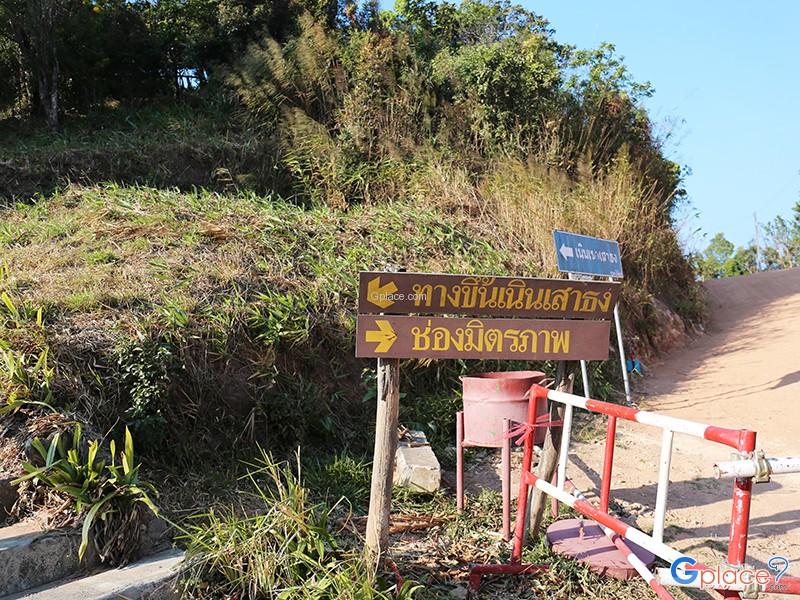
- From Thong Pha Phum district, take Highway 3272 toward Ban Etong (a route famous for its 399 curves). Upon reaching the village, follow the designated signs up the hill for about 1 kilometer. The viewpoint is accessible by car or via a short nature hike.
Travel Tips
- Arrive early in the morning for sunrise and sea of mist views.
- The late rainy season and early winter offer the best scenery.
- Bring a jacket or windbreaker as the weather stays cool year-round.
- Drive carefully as the road to Ban Etong has many sharp curves.
Admission Fees:
- Free admission.
Opening Hours:
- Open daily from 07:00 AM – 05:00 PM.
Noen Sao Thong
![]() T.Pilok, A.Thong Pha Phum, Kanchanaburi, 71180
Map
T.Pilok, A.Thong Pha Phum, Kanchanaburi, 71180
Map
![]() Closed today
Closed today![]()
Mon7.00 - 17.00
Tue7.00 - 17.00
Wed7.00 - 17.00
Thu7.00 - 17.00
Fri7.00 - 17.00
Sat7.00 - 17.00
Sun7.00 - 17.00
![]()
 4996
4996