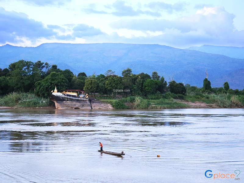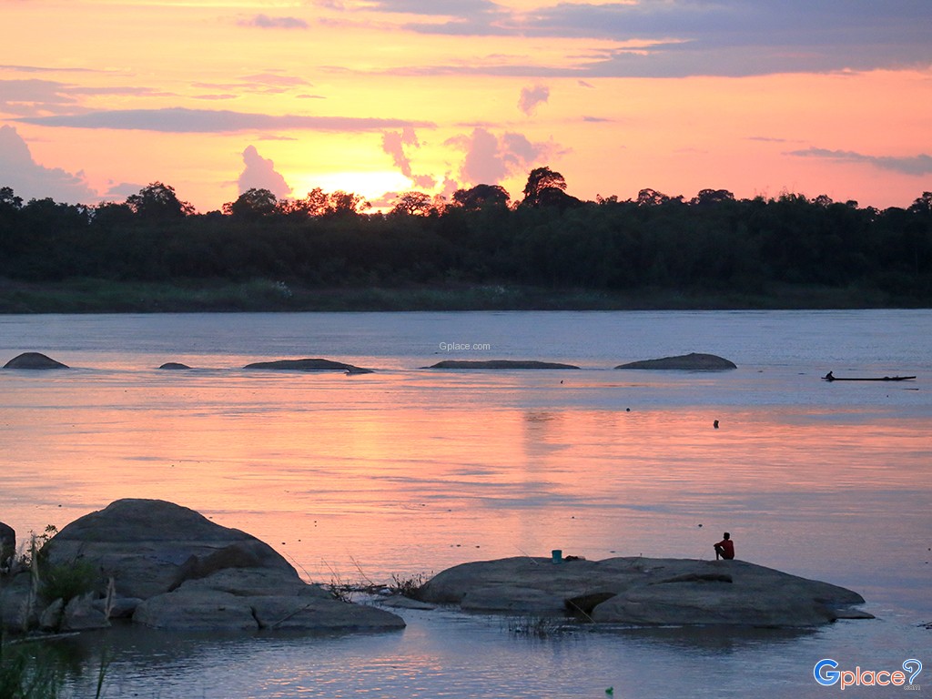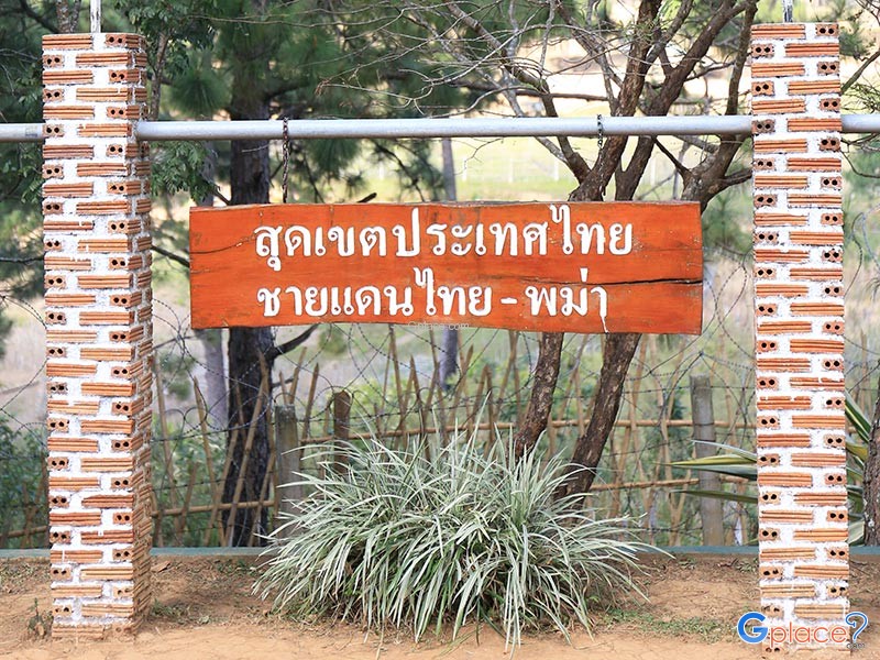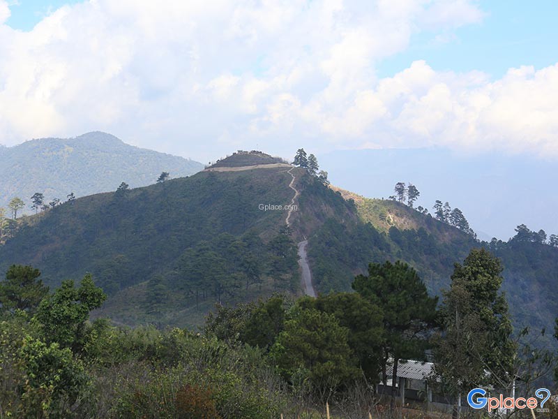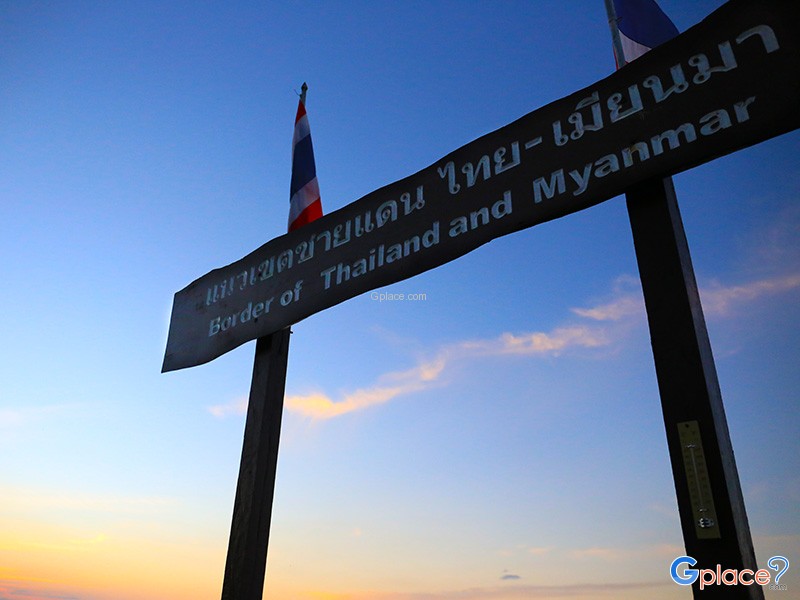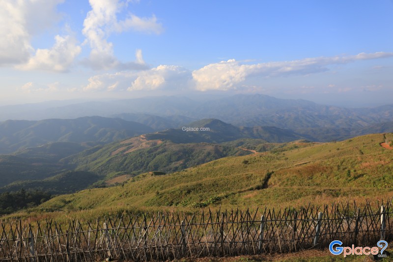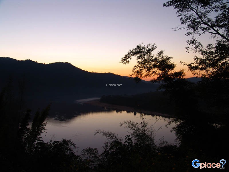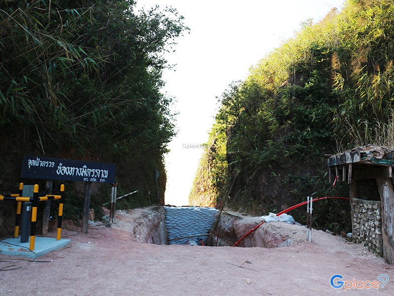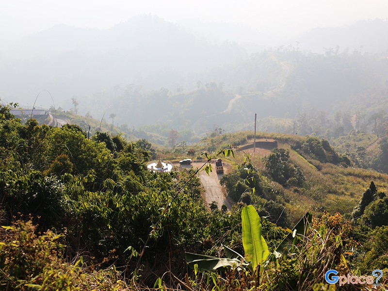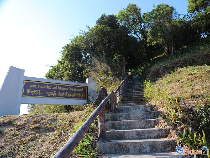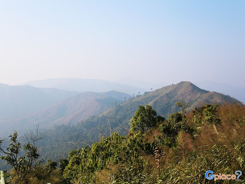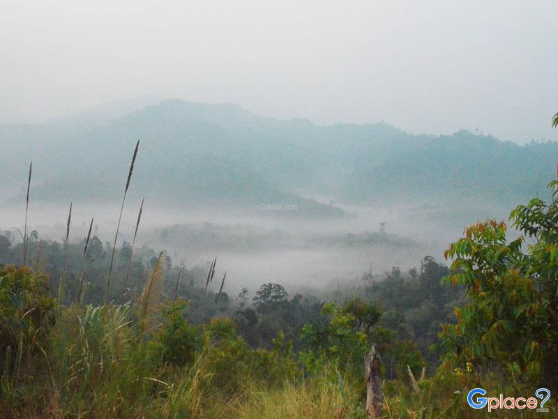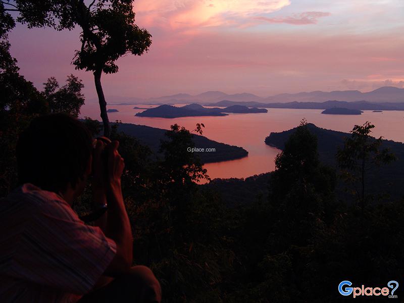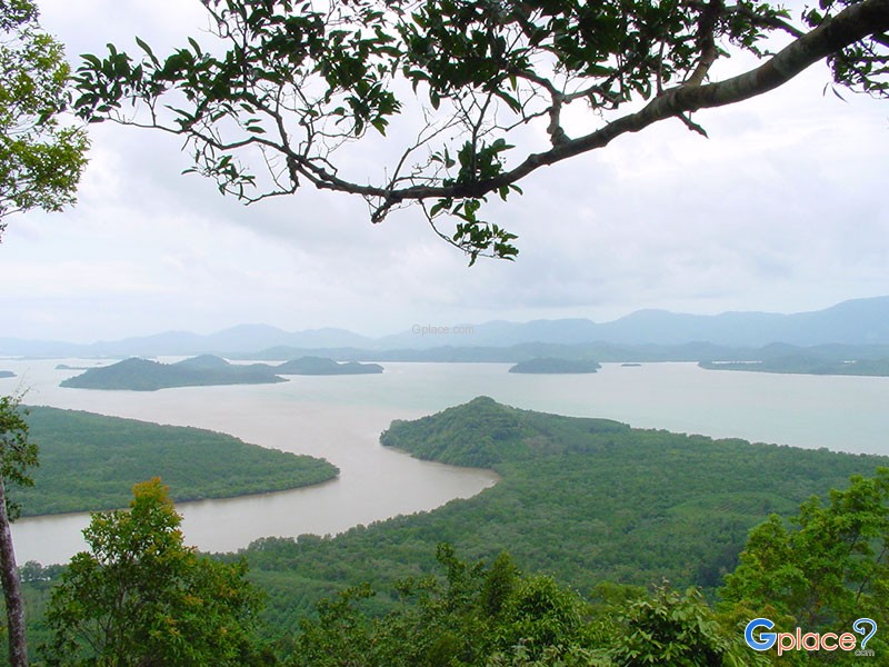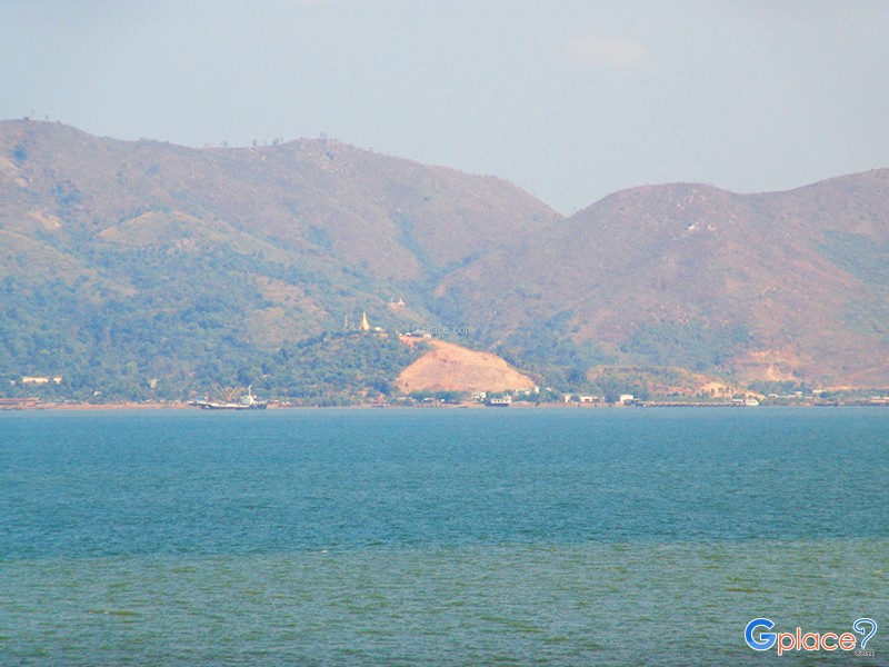
Thailand boasts a fascinating landscape that connects seamlessly with its neighboring countries – be it Laos, Myanmar, or Malaysia. This unique geography gives rise to distinctive "cross-border viewpoints," offering vistas ranging from the majestic Mekong River and complex high mountain ranges to the Andaman Sea coast in the south. These routes aren't just about experiencing nature; they offer the unique chance to see "another country" right before your eyes, from the same vantage point.
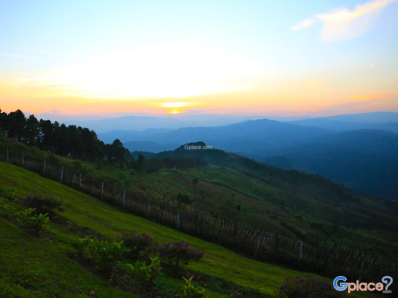
Starting in the Northeast, renowned for its Mekong River views, you'll find spots like Phu Taem National Park, Phu Manarom, and Kaeng Ahong that blend nature, belief, and history. Moving north, discover border viewpoints with seas of fog and mountains such as Mon Pui Mok, Ban Nor Lae, Doi Chang Moob, Phu Chi Fa, and the Golden Triangle, where you can see the borders of Thailand, Laos, and Myanmar in one panoramic view.
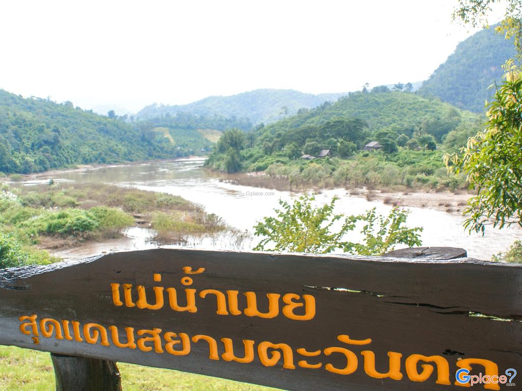
The Western and Central regions also feature beautiful Thailand–Myanmar border viewpoints like แม่น้ำเมย, Khao Krajom, Noen Sao Thong, and Khao Fa Chi, offering mountain views, rivers, and historical narratives. The Southern region concludes with the unique charm of its sea borders, including Victoria Point and Laem Tanyong Po and Sai Yao Beach, where you can romantically observe both local life and sunsets over the cross-border horizon.
These viewpoints are not only spread across the entire country but can also be seamlessly integrated into travel itineraries, whether for short 2–3 day trips or longer cross-regional journeys. They are perfect for photographers, nature enthusiasts, and those seeking the unique experience of "crossing borders with their eyes," an experience not easily found elsewhere.
Step to the very edge of the land and imagine yourself on the opposite side!
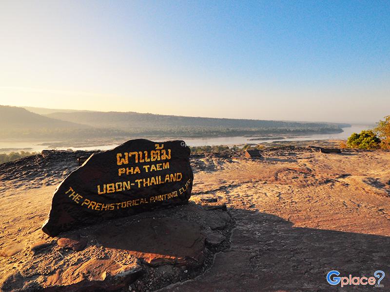
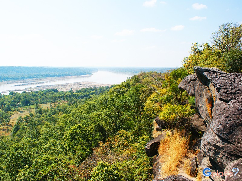
Pha Taem National Park is located in Khong Chiam District, Ubon Ratchathani Province, covering an area of about 340 square kilometers. The terrain is mainly composed of rugged high mountains, cliffs along the Mekong River, dry dipterocarp forests, mixed deciduous forests, and natural rock plateaus, home to diverse flora and fauna.
Before it was declared a national park, the Pha Taem area had been ...
read more
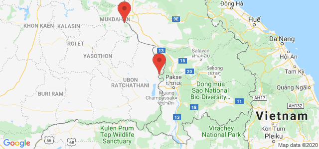
Phu Chanadai is a high and striking cliff within Pha Taem National Park, located in Khong Chiam District, Ubon Ratchathani. The cliff rises approximately 300–400 meters above sea level, providing clear views of the Mekong River and neighboring countries.
The area is rich in dry evergreen forest and native plant species, home to various wildlife and bird species. The trail to the summit has b...
read more
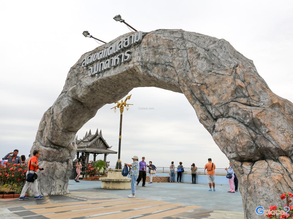
Wat Roi Phra Phutthabat Phu Manorom (Wat Roi Phra Phutthabat Phu Manorom) is located on a mountaintop within Phu Pha Thoep National Park in Mukdahan Province. The temple is one of the most important religious and tourism landmarks in Northeastern Thailand, combining spiritual significance, cultural beliefs, and breathtaking natural scenery. From the hilltop, visitors can enjoy panoramic views...
read more
Kaeng Ahong, famously known as the "Navel of the Mekong," is located at a strategic bend in front of Wat Ahong Silawas in Khai Si, Bueng Kan. According to hydrographic surveys conducted using echo sounders, this location is identified as a deep pool, reaching depths of approximately 196 to 200 meters during the monsoon season. This makes it the deepest point along the entire 4,800-kilometer stretc...
read more
Ban Nor Lae is a hill tribe village inhabited mainly by the Palaung people, also known locally as the Dara-ang ethnic group. The village is located at the far end of the Doi Ang Khang mountain road near the Thailand–Myanmar border in Fang District, Chiang Mai Province. Most villagers migrated from Shan State in Myanmar in 1984 and were granted settlement under the royal patronage of Thailand...
read more
The Moei River is a unique and captivating waterway with a charm unlike any other. Originating in Phop Phra District, Tak Province, it is famous for its geographical anomaly: instead of flowing south like most rivers, the Moei flows northward through Mae Sot, Mae Ramat, and Tha Song Yang, eventually merging with the Salween River in Myanmar. Spanning over 327 kilometers, this river serves as a vit...
read more
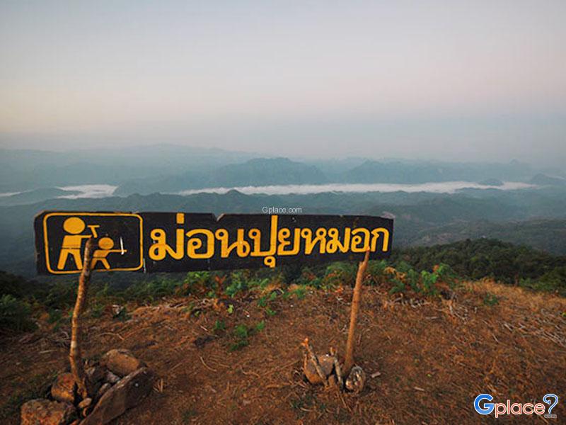
Mon Pui Mok is the highest peak among the hills in Mae Moei National Park.
Scenic Beauty & Uniqueness: Unlike other nearby hills accessible by car, such as Mon Kiw Lom or Mon Kruba Sai, Mon Pui Mok can only be reached on foot. This ensures privacy and preserves its natural environment. The summit features a wide grassy plateau that turns golden during the winter season.
Sea of Mist Phenomenon:...
read more
Doi Tung has many beautiful scenic spots.
Along the highway in 1149. viewpoint at km. 12 and 0.14 Kilometer.Along the Wat Noi Doi Tung - cliff house Bears. The road, which runs along the top of the mountain for many children. A viewpoint overlooking the panoramic view point on the mountain, like Moses on Doi Pha Chang Hee and Doi Pha Hom.Doi Tung has many beautiful viewpoint at....
read more
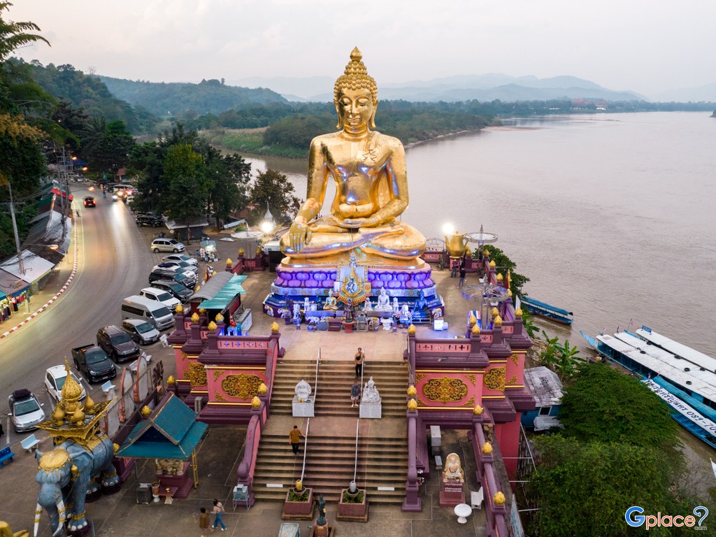
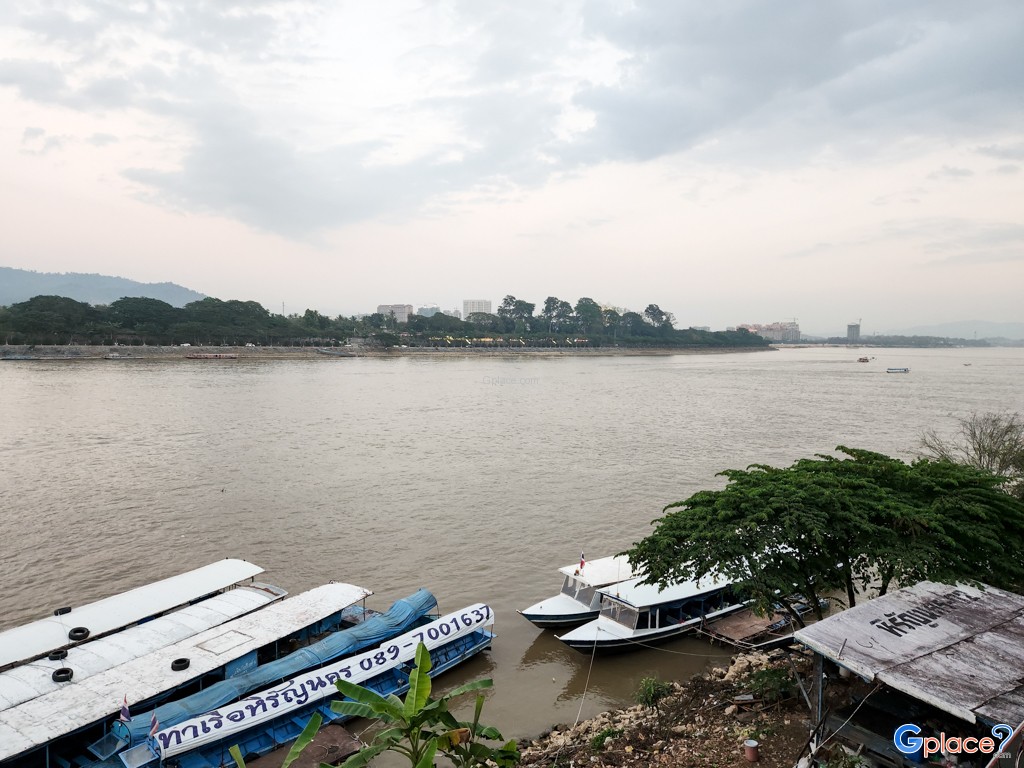
The Golden Triangle is a world-famous landmark located in Ban Sop Ruak, Chiang Saen District. The standout feature that draws travelers from every corner of the globe is standing on Thai soil while viewing the meeting point of three countries Thailand (right bank of the Mekong), Laos (left bank of the Mekong), and Myanmar (left bank of the Ruak River which joins the Mekong). This area is...
read more
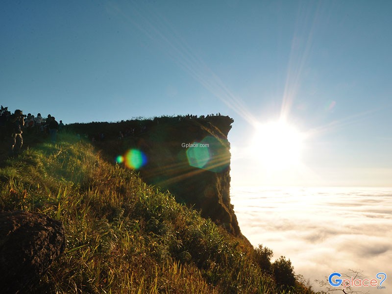
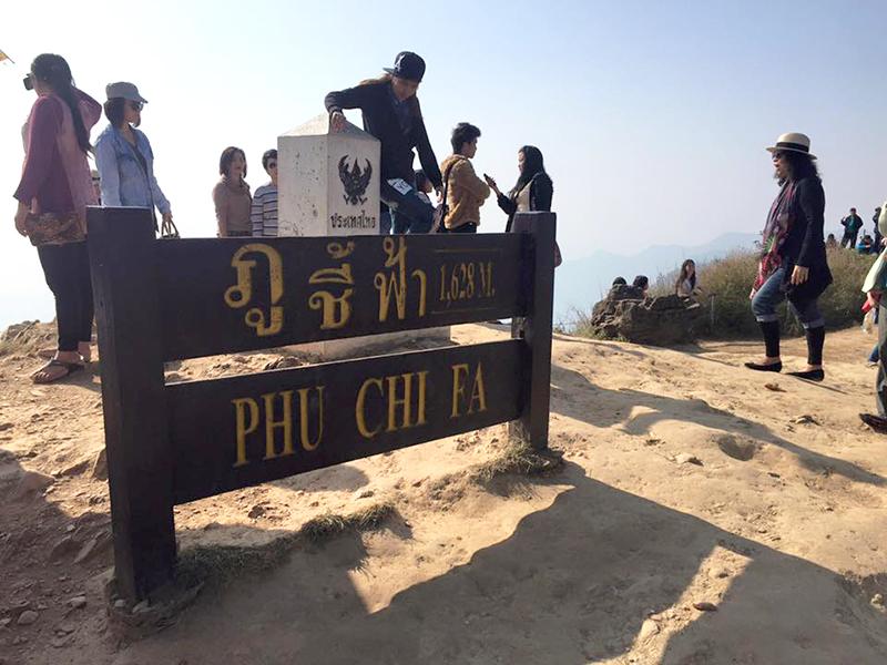
Phu Chi Fa is not just an ordinary viewpoint; it is an icon that anyone visiting Chiang Rai simply cannot miss. The name of the peak is derived from its amazing physical characteristic: a stone cliff with a sharp point pointing towards the sky. The tip of this cliff protrudes into Laos, meaning that when you stand at the peak, you experience standing on the edge of the sky with a clear view o...
read more
Phu Fa Development Center is one of the most important attractions in Nan province, located amidst lush mountains and unspoiled nature. The peaceful environment is perfect for visitors who wish to experience the authentic beauty of the natural landscape.
The center is special for being part of the Royal Project initiated by Princess Maha Chakri Sirindhorn, which promotes sustainability, environmen...
read more
Noen 1255 is part of the high mountain ranges of Phu Suan Sai National Park, standing at 1,255 meters above sea level and about 1 km from Noen 1408, the highest point in the park. The surrounding terrain features complex mountains and dense highland forests.
Visitors can enjoy wide, expansive views, including the Thai–Laos border mountain ranges. During late rainy season to early winter (Sep...
read more
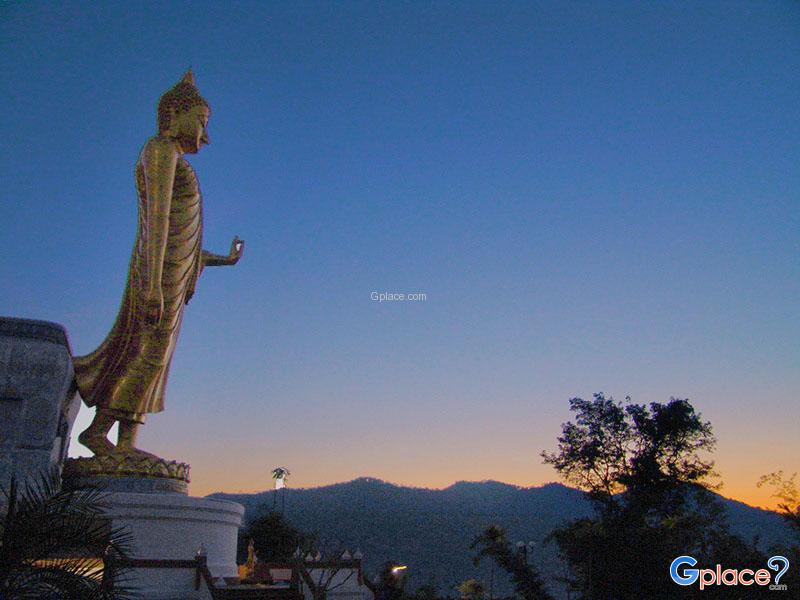
Phra Yai Phu Khok Ngio, officially named Phra Phuttha Nawamin Mongkhon Lila, is a magnificent Buddha statue located by the Mekong River in Ban Pak Tom, Chiang Khan District, Loei Province. It is one of the most sacred and iconic landmarks of Chiang Khan, attracting both worshippers and tourists alike. The statue stands gracefully on a hilltop, making it visible from afar, and serves as a spiritual...
read more
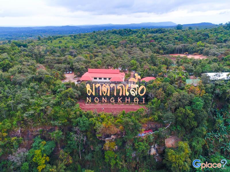
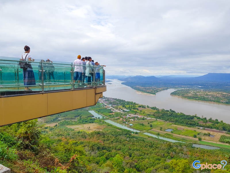
Wat Pha Tak Suea is one of the most famous temples in Sangkhom District, Nong Khai Province, located along the Phu Phan Noi mountain range near the Thai–Lao border. Sitting approximately 500 meters above sea level, the temple is renowned as one of the most spectacular Mekong River viewpoints in northeastern Thailand. Visitors can enjoy sweeping panoramic scenery of the winding Mekong River, ...
read more
Thai-Burma Friendship Pass, also known as the Three Pagodas Pass, is one of the most historically significant sites in Kanchanaburi Province and plays a crucial role in the long-standing relationship between Thailand and Myanmar. Located in the Tenasserim Mountains, at the border between Sangkhlaburi District in Kanchanaburi Province and Phayathongsu Town in Kayin State, Myanmar, the pass sits app...
read more
Noen Sao Thong is a border viewpoint located above Ban E-Tong village in Pilok Subdistrict, Thong Pha Phum District, Kanchanaburi Province. Situated on the Tenasserim Mountains, which form the natural border between Thailand and Myanmar, the hill enjoys cool temperatures year-round. During the rainy and winter seasons, a sea of fog often blankets the valleys, making it one of the most famous vie...
read more
Khao Krachom, located in Suan Phueng District, Ratchaburi Province, is one of the most famous viewpoints for observing the sea of mist and sunrise in western Thailand. Situated in the Tenasserim Mountains near the Thai-Myanmar border, it sits at an elevation of approximately 1,000–1,045 meters above sea level, resulting in cool temperatures year-round. During the rainy and winter seasons, ...
read more
Khao Fachi is located in La-un Nuea Subdistrict, La-un District, Ranong Province, with an elevation of approximately 259 meters above sea level. The mountain’s distinctive rounded shape resembles an upside-down traditional food cover (“fachi”), which is the origin of its name.
The summit serves as a prominent viewpoint in the province, offering clear views of an estuary landscape...
read more
Victoria Point — commonly known as Kawthaung — is Myanmar’s southernmost town, situated just across the Kraburi River from Ranong province in Thailand. The area is popular among Thai tourists who cross the border for a short visit to experience Burmese culture, shop for local crafts, and enjoy sea views from the quiet and laid-back town.
Visitors typically hire a longtail boat fr...
read more
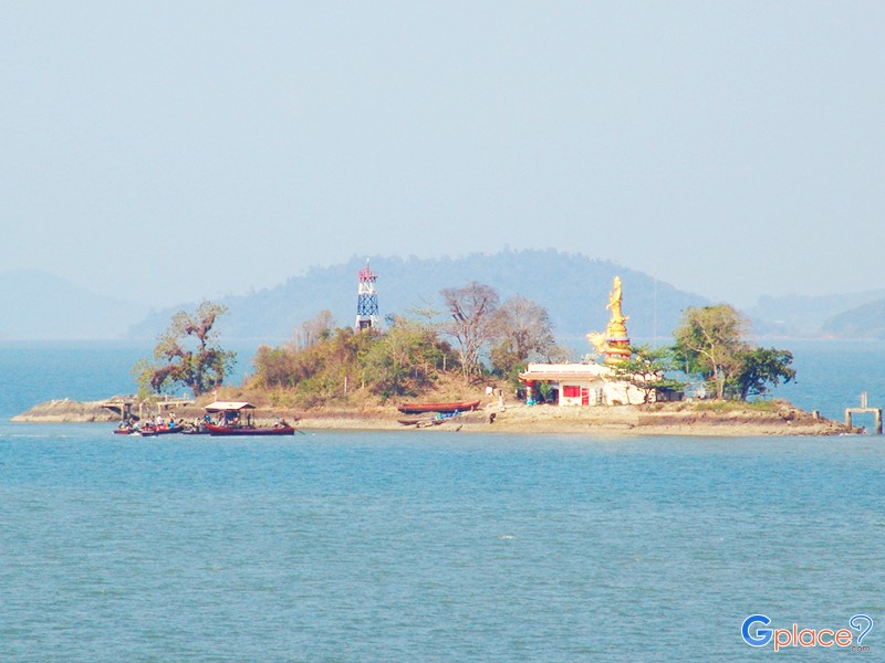
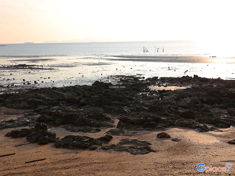
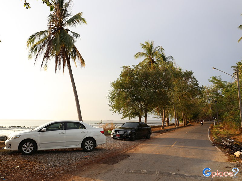
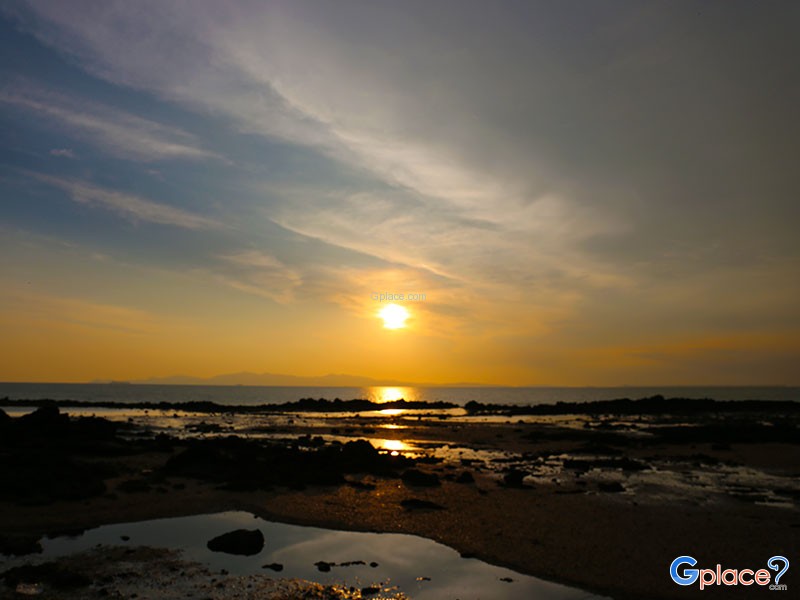
Laem Tanyong Po and Hat Sai Yao is situated at the southwestern tip of Satun Province, at the end of Highway 4051. Geographically, it is a prominent cape jutting out into the Satun Bay and the Andaman Sea. The area is home to an ancestral Thai-Muslim community that has maintained a traditional fishing lifestyle for generations. The most iconic feature of this location is a natural phenomenon ...
read more

 Attractions
  Hotel
Hotel  Restaurant
  Shopping
  Abroad
  Nearby Places






 10241
10241