20 Trending Travel Destinations of 2025
 36568
36568
 Discover Thailand’s top 20 trending travel destinations for 2025, featuring breathtaking natural landscapes, cultural villages, charming towns, and must-see attractions. Perfect for travelers seeking unique experiences, stunning photography spots, and immersive local culture.
Doi Inthanon — Thailand’s highest peak with stunning sea of mist views
Mae Kampong — A small village nestled in the valley, known for its peaceful atmosphere and local culture
Mon Jam — Scenic viewpoint and beautiful flower gardens on a high mountain
Doi Luang Chiang Dao — A popular mountain for hikers and climbers exploring nature
Doi Pha Hee — Natural area filled with mist and colorful flower fields
Doi Phu Kha National Park — Panoramic viewpoints and natural pine forests
Mon Bridge (Mon Wooden Bridge) — A unique wooden bridge with a romantic ambiance
Pang Ung — Known as “Thailand’s Switzerland” for its lake views and morning mist
Discover Thailand’s top 20 trending travel destinations for 2025, featuring breathtaking natural landscapes, cultural villages, charming towns, and must-see attractions. Perfect for travelers seeking unique experiences, stunning photography spots, and immersive local culture.
Doi Inthanon — Thailand’s highest peak with stunning sea of mist views
Mae Kampong — A small village nestled in the valley, known for its peaceful atmosphere and local culture
Mon Jam — Scenic viewpoint and beautiful flower gardens on a high mountain
Doi Luang Chiang Dao — A popular mountain for hikers and climbers exploring nature
Doi Pha Hee — Natural area filled with mist and colorful flower fields
Doi Phu Kha National Park — Panoramic viewpoints and natural pine forests
Mon Bridge (Mon Wooden Bridge) — A unique wooden bridge with a romantic ambiance
Pang Ung — Known as “Thailand’s Switzerland” for its lake views and morning mist


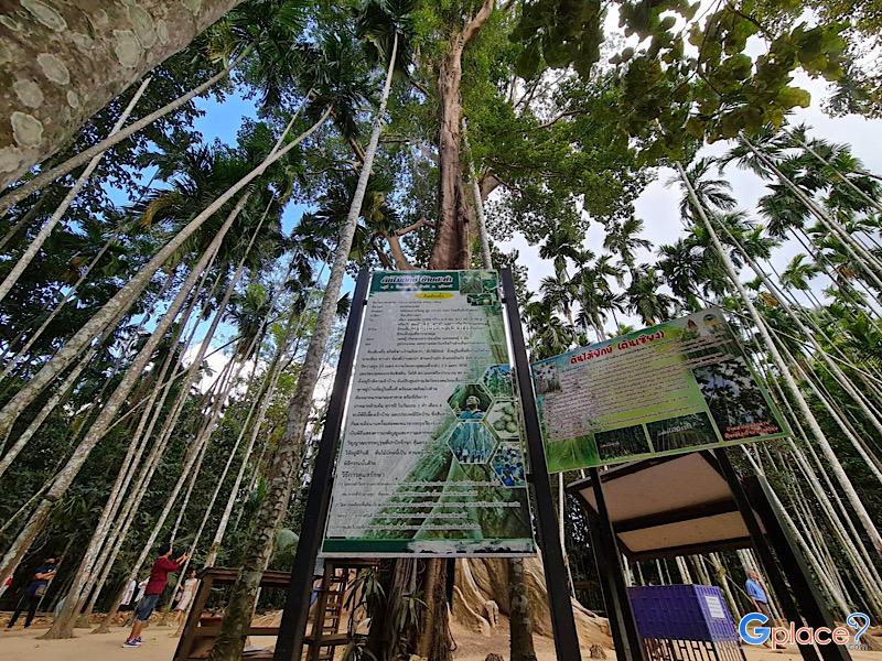
Doi Inthanon National Park, located in Chiang Mai Province, is home to the highest peak in Thailand — Doi Inthanon, standing at 2,565 meters above sea level. The park spans over 482.4 square kilometers and covers parts of Chom Thong, Mae Chaem, Mae Wang, and Doi Lo districts.
Shaped by the Himalayan mountain range, the park features a landscape of rugged high mountains running north to south...
read more


Mae Kampong Village has a long history of settlement dating back over 100 years. It was founded by a group of villagers who migrated from nearby districts to cultivate Miang (wild tea leaves), which has been the primary economic crop of the community since the past. The village's name originates from the beauty of nature; Kampong is the name of a yellow and red wild flower that commonly grows alon...
read more
3
Mon Jam


Mon Jam is a famous getaway destination located on a mountain ridge within the Nong Hoi Hmong village area. Originally, this land was a degraded forest used for shifting cultivation. However, through the grace of King Bhumibol Adulyadej the Great, who established the Nong Hoi Royal Project Development Center, this soil was revitalized into a thriving temperate agricultural hub. Situated at an alti...
read more


Doi Luang Chiang Dao stands as a limestone peak reaching 2,225 meters above sea level, featuring distinct geological characteristics that are rare in this region. The landscape from the summit is majestic, characterized by complex mountain ridges, particularly the Pyramid Peak and the Three Brothers Peaks, which are often enveloped in a thick sea of mist during the morning. Visitors can experience...
read more


Tha Phae Walking Street, also known as the Sunday Walking Street, transforms Ratchadamnoen Road into the busiest and most vibrant open-air market in Chiang Mai’s old city on Sunday evenings.
Schedule and Route
Open every Sunday from 17:00 – 22:00 (the road closes to traffic from 16:00 onward)
Route: Starting at Tha Phae Gate and continuing along Ratchadamnoen Road to Wat Phra Singh...
read more


Doi Pha Hee, or Ban Pha Hee, began as a settlement for the Akha ethnic community that migrated from Myanmar and China decades ago. Originally, this mountainous area was used for opium cultivation. However, thanks to the royal grace of the Princess Mother (Somdet Ya), who introduced the Doi Tung Development Project to transform the region, the villagers shifted to planting Arabica coffee instead. T...
read more


Doi Phu Kha National Park is the source of numerous streams and holds an ancient history tied to the legends of Nan’s people. Situated at an altitude of 1,980 meters above sea level, it covers an area of approximately 1,050,000 rai, spanning Pua, Chiang Klang, Thung Chang, Mae Charim, Tha Wang Pha, Santi Suk, and Bo Kluea Districts.
The terrain consists of steep, rugged mountains with stunni...
read more


Mon Bridge, officially known as the "Uttamanusorn Bridge," is located in Sangkhlaburi District, Kanchanaburi Province. It's a wooden bridge spanning the Songkalia River and is considered the longest wooden bridge in Thailand, measuring approximately 850 meters. While some engineering estimates differ slightly, the widely accepted figure for tourism and local authorities is around 850 meters, refle...
read more
9
Pang Ung


Pang Ung, officially known as the Pang Tong 2 Royal Project (Pang Ung), is a large reservoir on a high mountain peak, surrounded by magnificent pine forests, earning it the nickname "Switzerland of Thailand." It is one of Mae Hong Son province's most popular tourist destinations, attracting visitors to experience its natural beauty, especially during the winter.
This place has a long history. Orig...
read more


Phu Hin Rong Kla National Park is a unique travel spot unlike anywhere else in Thailand. It doesn’t just have green forests, but it is also a land full of historical stories and strange-looking geological features. This area is located on the border of three provinces: Phitsanulok, Phetchabun, and Loei. This makes the weather cold almost all year, especially in winter when the temperature ca...
read more
11
Phu Tubberk


Phu Thap Boek is the highest mountain peak in Phetchabun Province and one of Thailand’s most popular destinations for nature lovers, photographers, and camping enthusiasts. Standing at approximately 1,768 meters above sea level, the mountain offers refreshing cool weather throughout the year. During winter, temperatures can drop to single digits, and frost can occasionally appear on the moun...
read more
12
Khao Kho


Khao Kho is the definition of a vacation paradise in the lower northern region, earned the nickname Switzerland of Thailand. The name "Khao Kho" is derived from the Kho tree (Livistona speciosa), a palm species with fan-like leaves that grew abundantly in this area in the past. Beyond its atmosphere, the area holds significant history as a battlefield between the government and the Commu...
read more


Samaesarn Island is one of the nine islands under the Plant Genetic Conservation Project initiated by HRH Princess Maha Chakri Sirindhorn and is under the strict supervision of the Royal Thai Navy. The primary mission is to maintain the integrity of natural resources both on land and under the sea. Consequently, no overnight stays are permitted on the island to minimize environmental impact a...
read more


Khao Yai National Park is Thailand’s first national park, established on September 18, 1962, covering an area of over 2,168 square kilometers across four provinces: Nakhon Ratchasima, Prachinburi, Nakhon Nayok, and Saraburi. In 2005, it was declared a UNESCO World Heritage Site as part of the Dong Phayayen–Khao Yai Forest Complex.
The park features a mix of evergreen forests, grassland...
read more


Chiang Khan Walking Street is a prominent tourist attraction in Chiang Khan, Loei Province. The street is an old, peaceful area that comes alive in the evening as a walking street. Here, visitors can experience the authentic local lifestyle and enjoy the serene environment.
The walking street is filled with local shops selling regional handicrafts, traditional foods such as fresh rice noodles, spi...
read more


Naka Cave is located within Phu Langka National Park in Bueng Kan Province, along a challenging uphill trail of 1.4–2 km. The route involves steep stairways and rope-assisted climbs, taking around 4–6 hours round trip.
Inside the cave, key spots include the naga head formation, realistic scale-like textures across the rock, and the dazzling Sun Crack, where natural light pierces throug...
read more
17
Hin Sam Wan


Hin Sam Wan (Three Whale Rock) is a must-see natural wonder in Bueng Kan, Thailand's youngest province. The site is named for its three giant sandstone rocks that, from a certain angle, look like a family of whales swimming together. These majestic rocks are a testament to millions of years of natural erosion.
Located within the Phu Sing Forest Park, the area is part of a lush, rich forest reserve...
read more


Samed Nang Chee Viewpoint is one of the most awe-inspiring sunrise viewpoints in southern Thailand, located in Ban Khlong Kian, Phang-nga. Perched above Phang-nga Bay, the viewpoint provides a panoramic 180-degree vista of limestone karsts and scattered islands across the calm sea. As the sun rises from behind the cliffs, the golden light dances on the misty bay, offering an unforgettable spectacl...
read more
19
Yaowarat


Yaowarat (Chinatown Bangkok) is one of the oldest and largest Chinese communities in Bangkok, offering a rich blend of Thai and Chinese culture. This iconic road is constantly buzzing with locals and tourists, lined with traditional gold shops, food stalls, herbal pharmacies, and Chinese restaurants.
What makes Yaowarat truly special is its legendary street food — from crispy pork and roaste...
read more


Red Bridge Dolphin Viewpoint is located in Phanthai Norasing Subdistrict, Samut Sakhon Province. It is a popular coastal viewpoint for visitors seeking a peaceful escape and fresh sea air near Bangkok. The bridge is easily recognized by its bright red color, beautifully contrasting with the blue sea and the lush green mangrove forest. Originally constructed entirely of wood, the bridge has since b...
read more
กำลังเป็นที่นิยม
Lotus Viewing Spots Across Thailand
Thailand boasts beautiful lotus viewing spots scattered across several regions, ..
Khao Yai National Park: Where to Go
Khao Yai is one of Thailand's most popular natural attractions and a gateway to ..
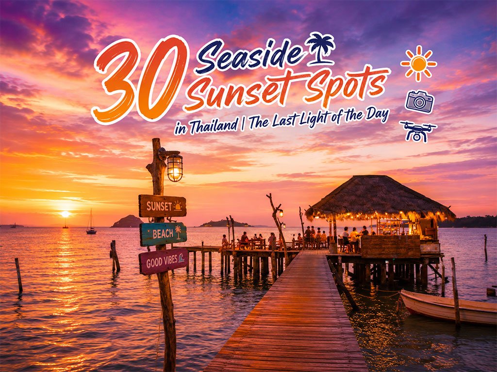
30 Sunset Spots along the Thai Sea
Explore the sunset spots along Thailand’s coast, revealing the beauty of the day..

10 Kanchanaburi Spots When the Rain Softly Falls
Kanchanaburi when the rain softly falls is a beautiful moment between the end of..
Recommend trips
- The Four Holy Pilgrimage Sites
- Dream Destinations in Switzerland
- Pilgrimage to the Sacred Sites
- Trip to Bhutan
- 10 Sacred Buddhist Sites Thai Temples in India–Nep
- 30 Sunset Spots along the Thai Sea
- Lotus Viewing Spots Across Thailand
- 10 Kanchanaburi Spots When the Rain Softly Falls
- Must-Visit Check-in Spots in London
- Top Paris Check-in Spots
- 10 Thai Costume Spots to Go Back in Time
- Khao Yai National Park: Where to Go
- 30 Stunning Viewpoints in Thailand
- Thailand’s Sandbar Wonders
- Natural Community Markets A Unique Vibe
- 10 Paradise Islands for Bikers to Explore
- 5 Selfie-Worthy Hua Hin Check-in Spots for Teens
- 10 Must-Visit Spots Along the Chao Phraya River, B
- The Ultimate Ancient Villages in Japan
- 10 Mountains to Discover on a Rainy Day