จุดที่นักท่องเที่ยวทะลักหลังโควิด
 4144
4144
 สรุปสถานที่ท่องเที่ยวเที่ยว คนทะลัก หลังปลดล็อคโควิด-19
อ้างอิงข้อมูลจากแหล่งข่าว เฟซคนชอบเที่ยว และเพจเฟซบุีคสถานที่ท่องเที่ยวต่างๆ แอดฯพอสรุปได้ 8 จุดดังนี้
หมายเหตุ บางสถานที่ยังไม่ได้เปิดให้เที่ยวเต็มตัว จึงยังไม่มีข้อมูลเชิงลึก ต.ย. อช.ดอยอินทนนท์ ฯลฯ, แต่แอดฯจะมาอับเดทเรื่อยๆให้ทันสมัยมากขึ้นจร้า
1
Pattaya
The area of Pattaya City can be divided into four ... read more
2
Hua Hin
Bang Saen Beach is a most popular and nearest beach which you can get to from Bangkok. Approximately 13 kilometers from the city of Chon Buri, it branches off to the right-hand side from Sukhumvit Highway, at kilometers 104, for a distance of 3 kilometers. Stretching along the beachfront, is a 2.5 kilometer Road.
Along the beach, one finds vendors offering drinks and seafood snacks suc... read more
Along the beach, one finds vendors offering drinks and seafood snacks suc... read more
Koh Samet it is the most well-known attraction of Rayong offers beautiful beaches with charming white sand, strange-shape rocks, suitable relaxation, water sporting, exploring the coral reefs beneath the sea. Koh Samet is located some 6.5 kilometers from Ban Phe. There are boat services available all day and many kinds of accommodation there.
Named "Ko Samet" because this island has Samet white tr... read more
Named "Ko Samet" because this island has Samet white tr... read more
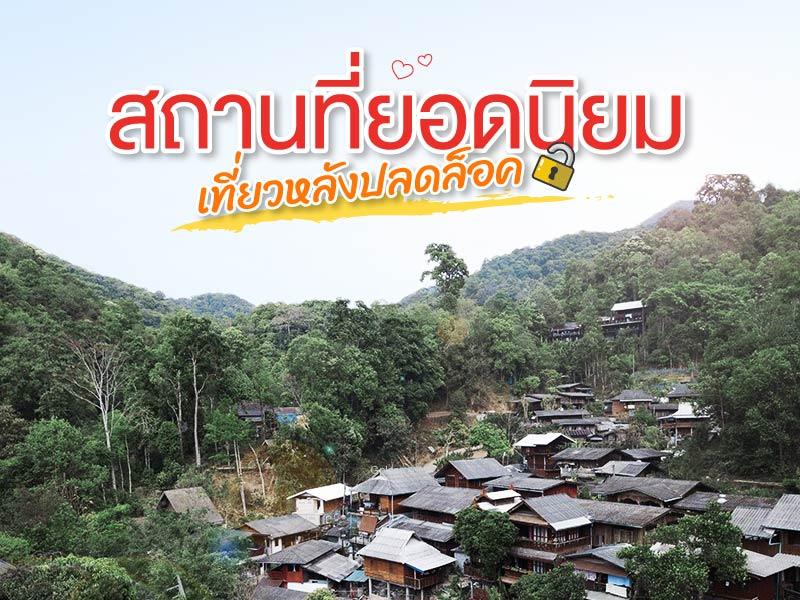
Kampong Mae is located in Mae On District, Chiangmai, a small village hiding in the jungle. There are clear streams flowing through. The happiness of coming to Mae Kampong village is to experience the fresh air, the nature of the forest, natural streams and typical lifestyles of people. The living of the villagers is still in harmony with the purity of nature.
Here is not far frm Chiang ... read more
Here is not far frm Chiang ... read more
River Kwai Bridge, located in Kanchanaburi Province, is one of Thailand’s most renowned historical landmarks. It was constructed in 1943 as part of the strategic railway line built by the Japanese army to connect Thailand with Burma (now Myanmar) during World War II. The bridge was built using the forced labor of Allied prisoners of war — including British, American, Australian, and Du...
read more
Khao Yai National Park is Thailand’s first national park, established on September 18, 1962, covering an area of over 2,168 square kilometers across four provinces: Nakhon Ratchasima, Prachinburi, Nakhon Nayok, and Saraburi. In 2005, it was declared a UNESCO World Heritage Site as part of the Dong Phayayen–Khao Yai Forest Complex.
The park features a mix of evergreen forests, grassland... read more
The park features a mix of evergreen forests, grassland... read more
8


