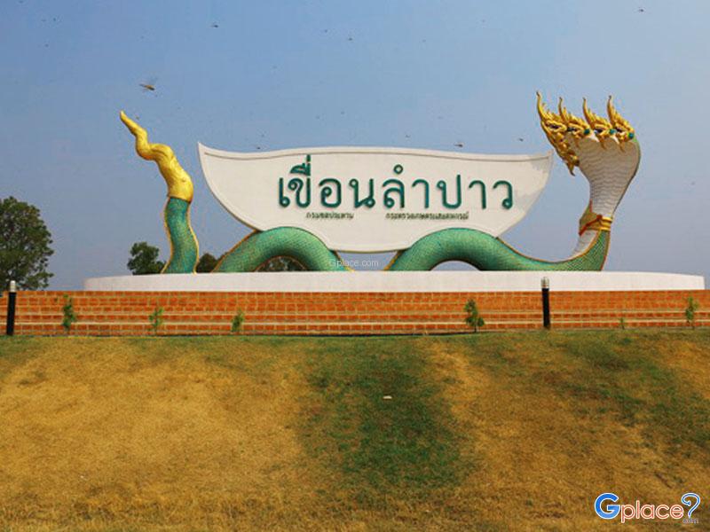
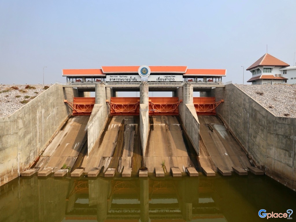
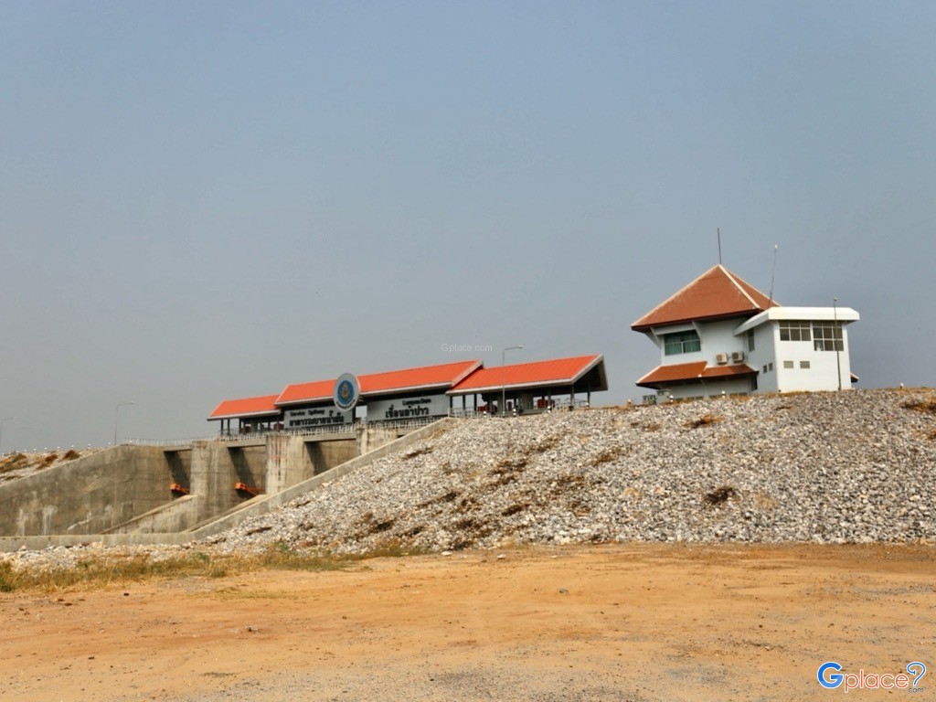
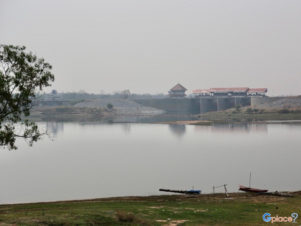
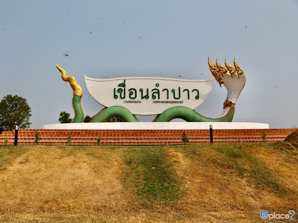
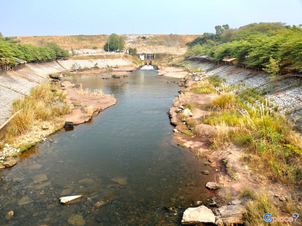
Lam Pao Dam is a large earth-fill dam located in Kalasin Province, Thailand. It was built across the Pao River and Huai Yang Creek and plays a key role in irrigation, flood control, and supporting agriculture in the upper northeastern region of the country.The dam was designed as a large-scale water reservoir for year-round water management. It stores water during the rainy season to reduce flood risks in downstream areas and releases water during the dry season to support agricultural activities.
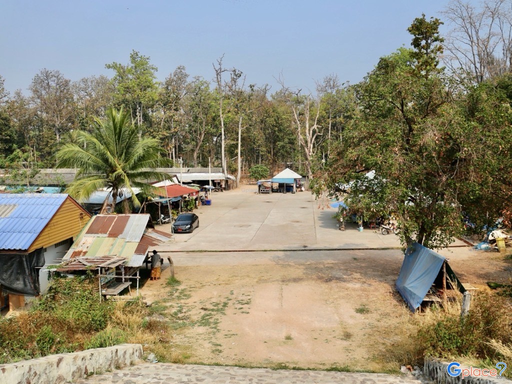
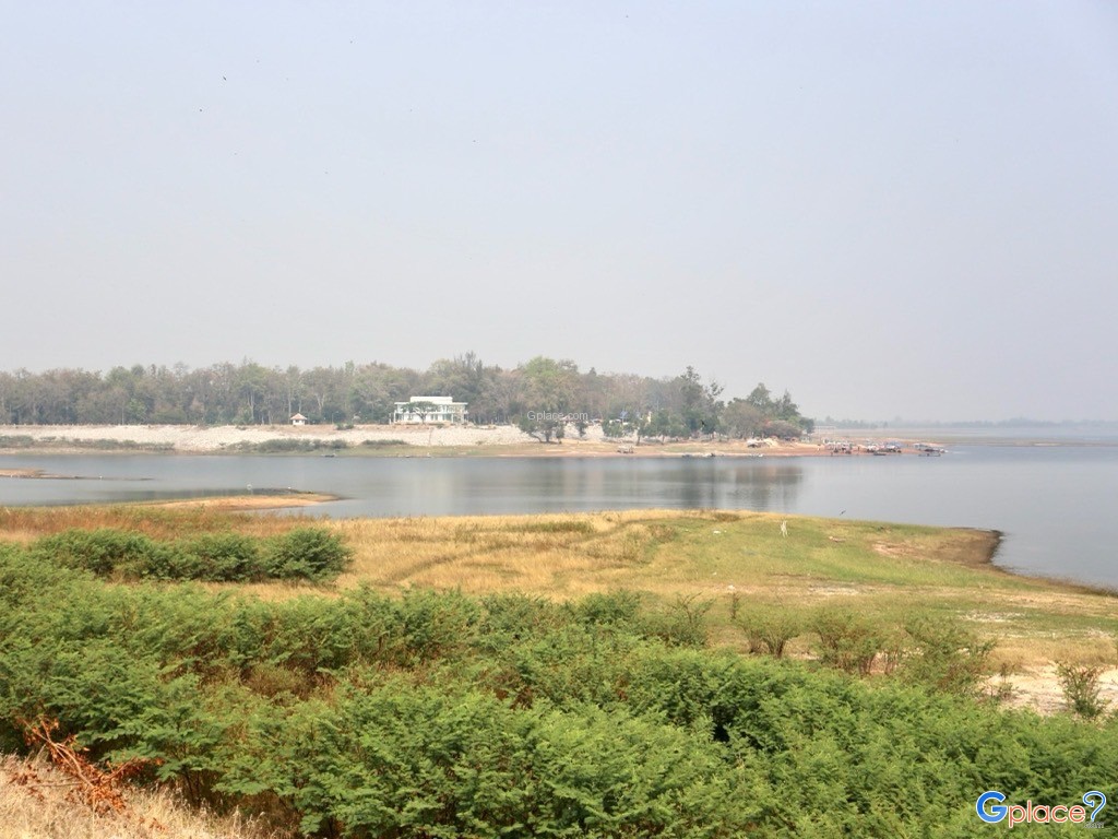
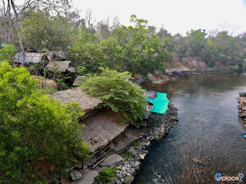
Because of its vast reservoir, the water surface appears like a large natural lake when viewed from a distance. Locals and visitors often refer to it as the “Sea of Isan,” which has become one of the defining identities of Kalasin Province.The surrounding area is home to freshwater fishing communities and agricultural livelihoods that depend heavily on the dam’s water resources. Farmers commonly raise fish in cages, such as tilapia, silver barb, and catfish, which are also important ingredients in local cuisine and a major source of income for nearby communities.Economic activities and tourism are closely connected in this area. There are local restaurants along the waterfront, community shops, equipment rentals for water activities, and community-based tourism services that help distribute income to local residents.
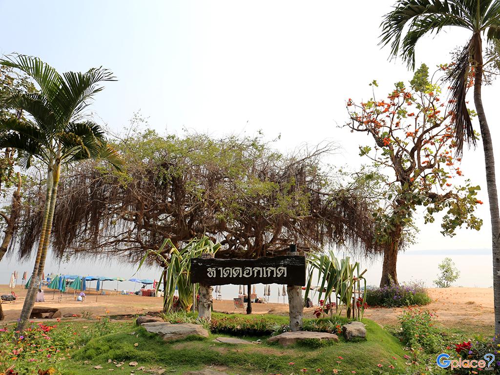
One of the main tourist attractions is Hat Dok Kaeo Beach, an artificial sandy beach along the reservoir that has been developed into a recreational area. It features restaurants, visitor facilities, and various water activities such as jet skiing, banana boat rides, and floating tubes, making it suitable for visitors of all ages.Another highlight is the Lam Pao Dam crest road, which stretches for several kilometers and has become a popular route for walking, jogging, and cycling. Visitors can enjoy panoramic views of the reservoir, especially during sunrise and sunset when the reflection of sunlight on the water creates a beautiful landscape.
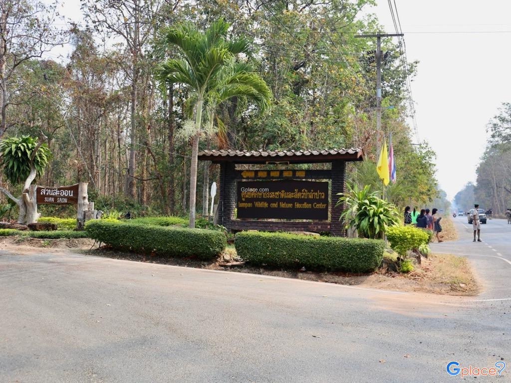
The Thepsuda Bridge is another major landmark, known for its striking structure and scenic views. It is one of the most popular sunset viewpoints and also serves as an important transportation route across the reservoir area.The surrounding environment is rich in biodiversity, with various species of freshwater fish and water birds. This makes the area suitable for nature-based tourism, photography, and peaceful relaxation in less crowded zones.Some parts of the area also serve as learning centers for fisheries and water resource management, offering educational opportunities for visitors interested in freshwater ecosystems and dam management for agricultural purposes.


 6053
6053