


“A soaring peak serving as a vital river source, featuring a stunning sea of mist over complex limestone valleys and a perfectly preserved hill evergreen ecosystem.”
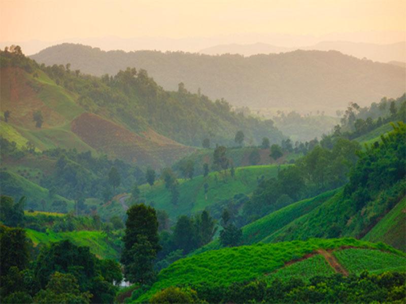
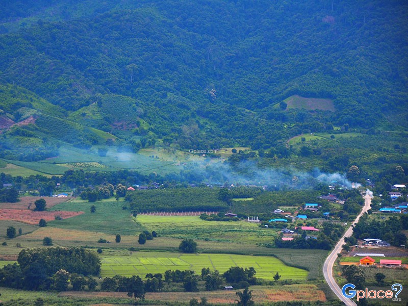
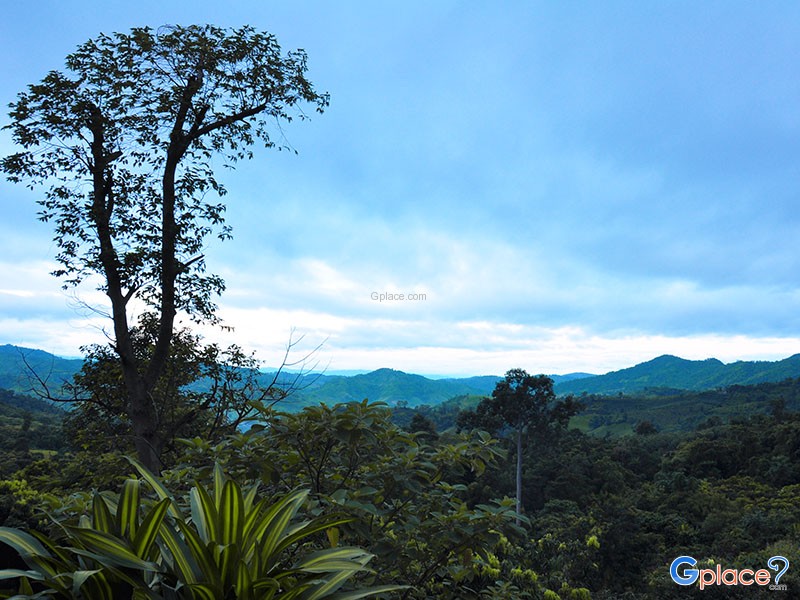
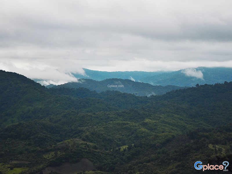
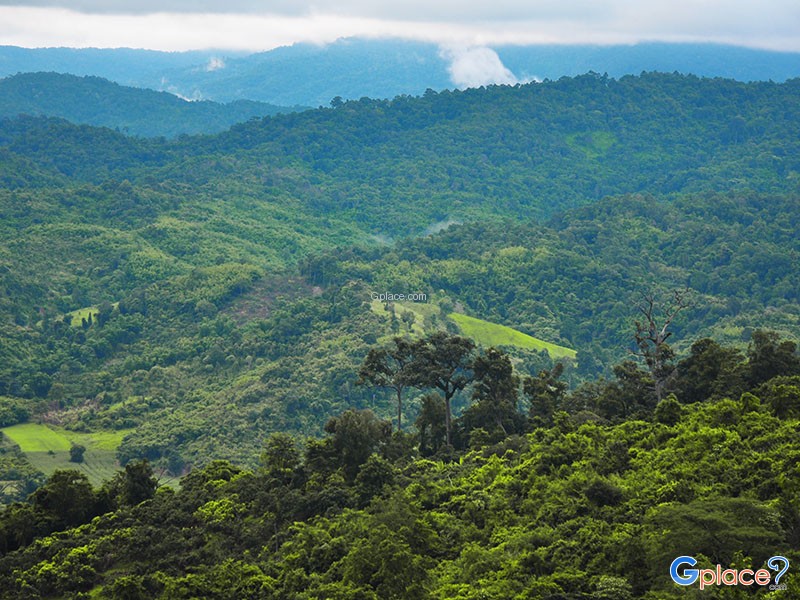
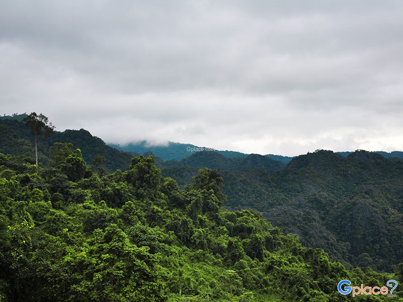
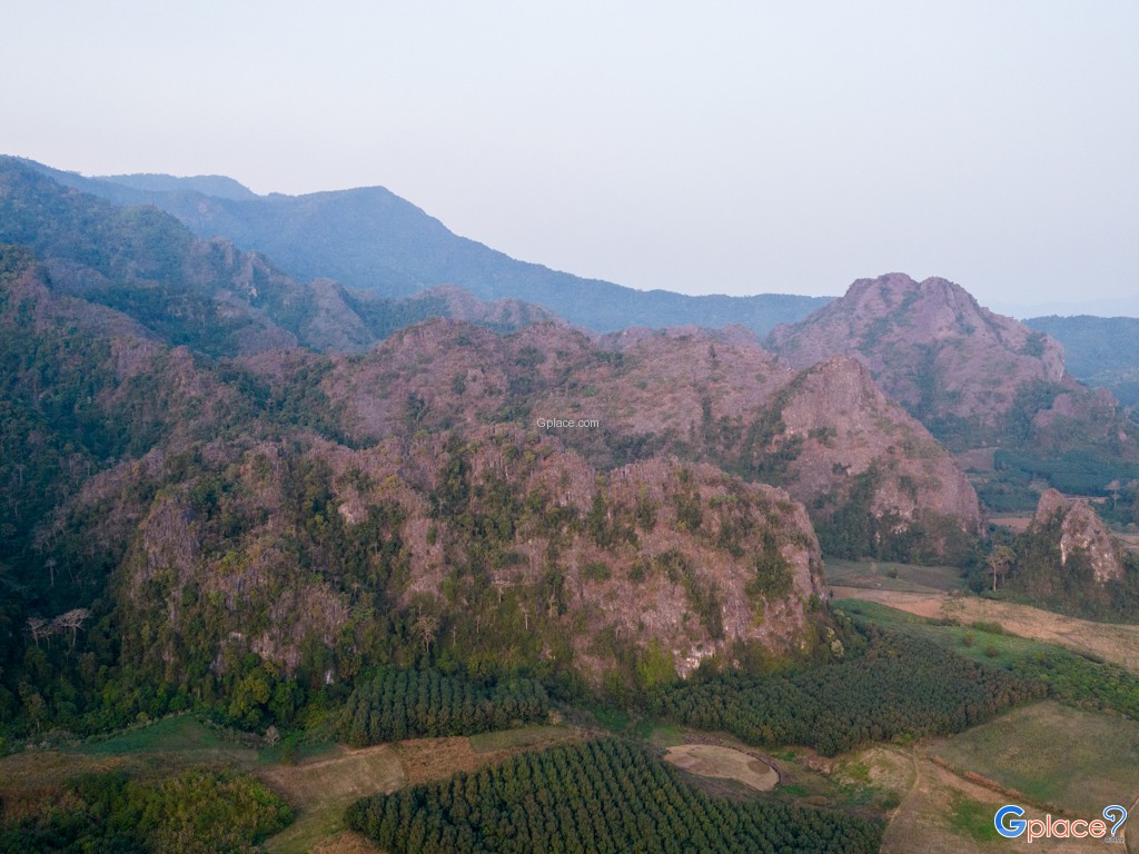
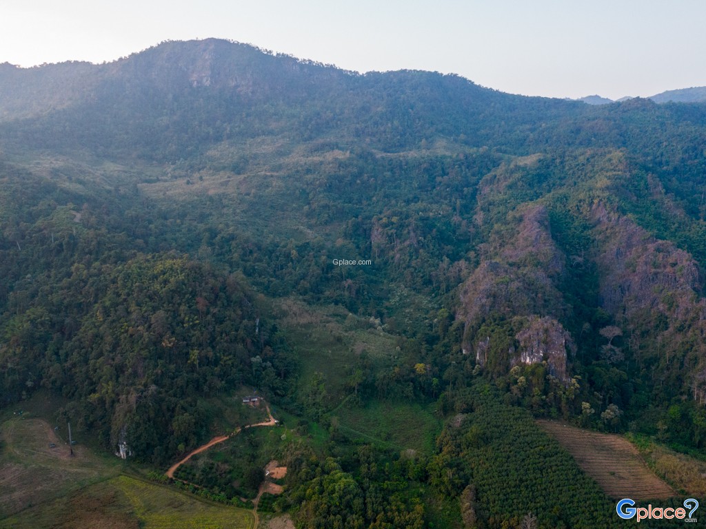
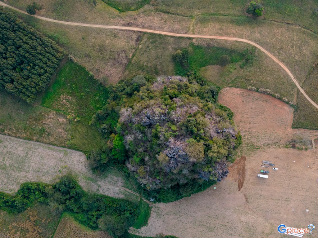
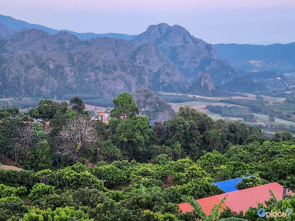
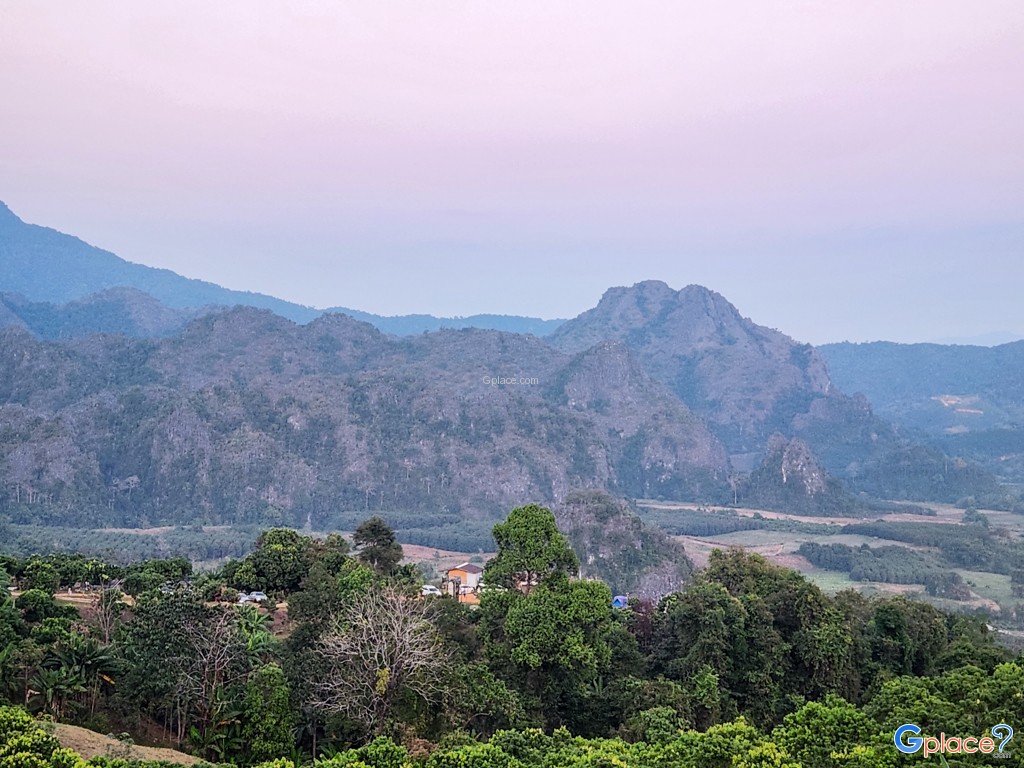
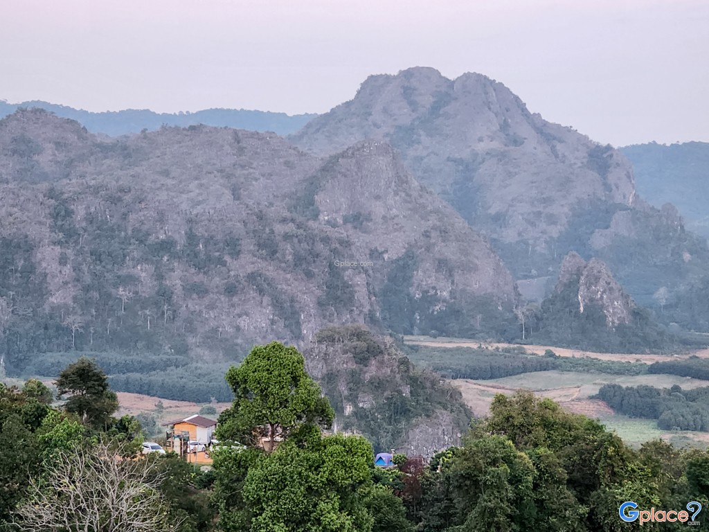
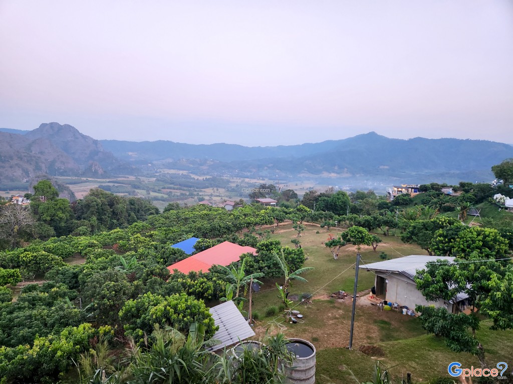
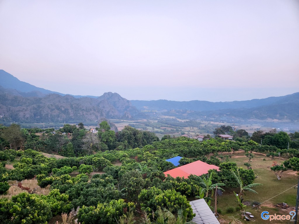
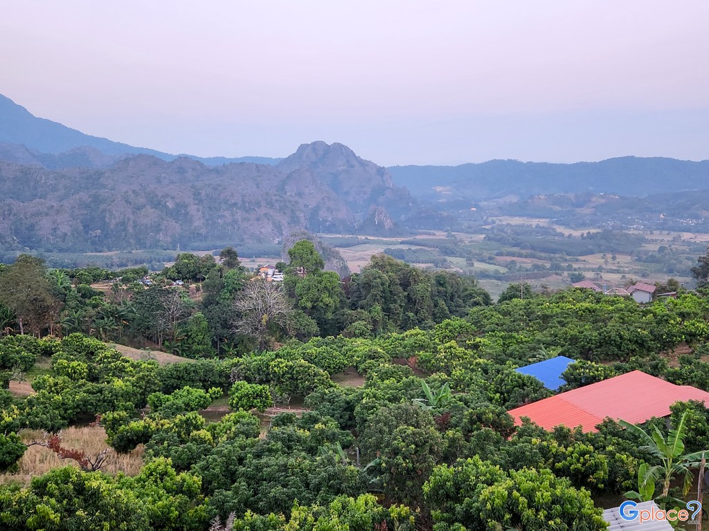
Phu Langka Forest Park is situated on the San Pan Nam Range, also known as the Phi Pan Nam Range, which acts as a magnificent natural border between Phayao and Nan provinces. Spanning over 7,800 rai, this area is a crucial headwater for the Yom River, one of the primary lifelines of central Thailand. The forest consists mostly of dense and fertile hill evergreen trees, boasting unique biodiversity due to its rugged and steep terrain. This creates a specialized ecosystem with rare sights and species that are virtually impossible to find in the lowlands.
Phu Langka Peak (Phu Thewada):
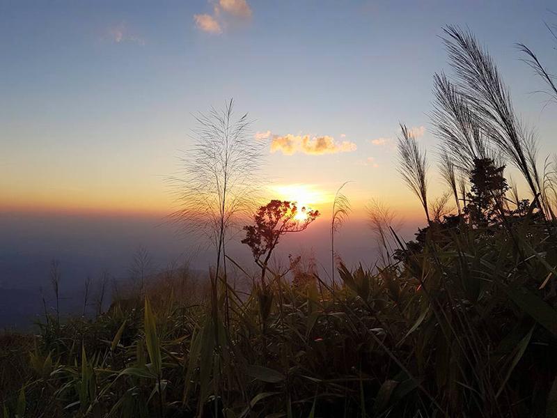
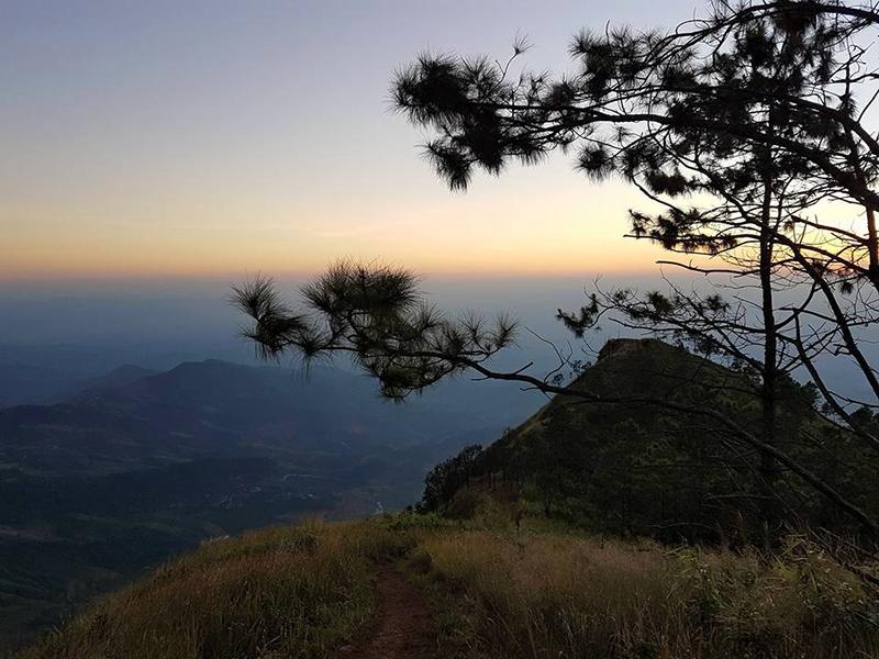
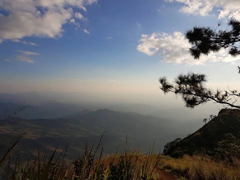
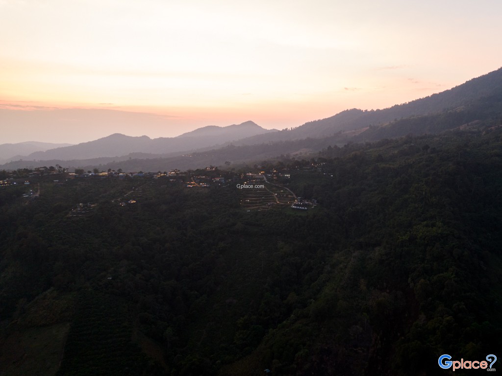
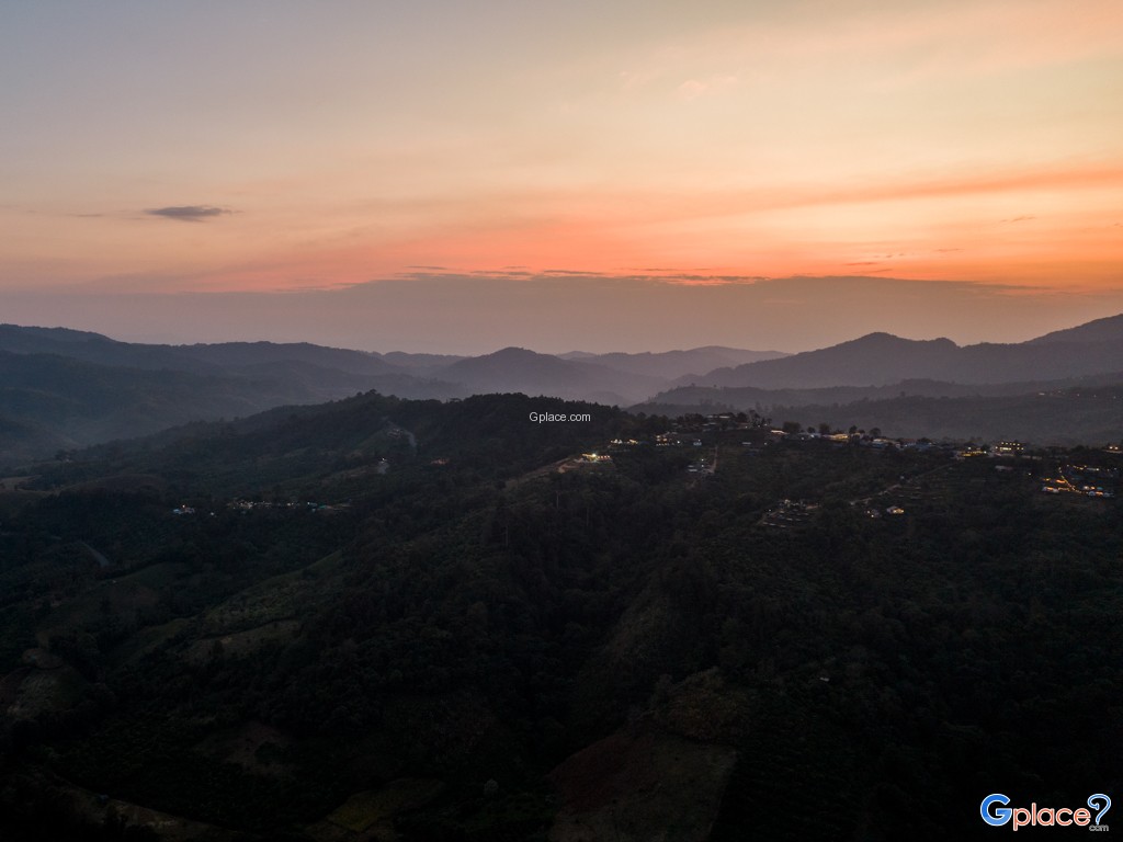
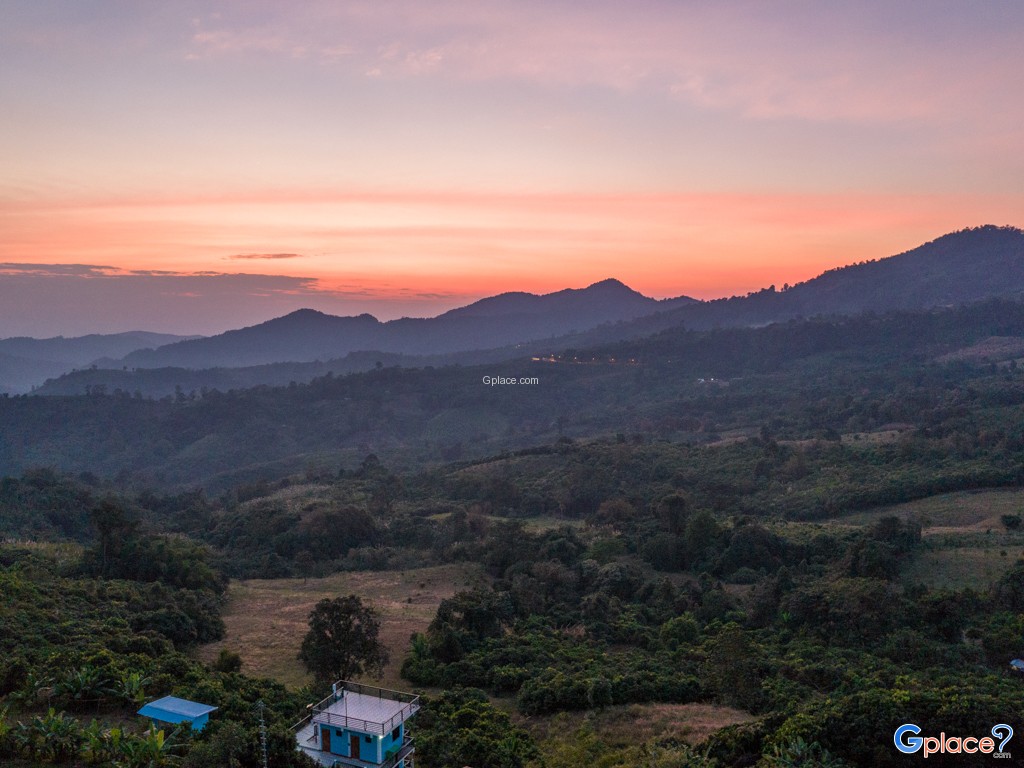
- The summit of Phu Langka, reverently called Fin Ja Bo by the local Mien people which translates to Mountain of Angels (Phu Tewada) stands majestically at 1,720 meters above sea level. It is the highest peak in this section of the range. Hikers who reach the top are rewarded with views stretching as far as Laos. During winter, the landscape is blanketed in a thick, white sea of mist that flows like a silent ocean. The air remains biting cold year-round, and the peak serves as an unforgettable sunset spot where golden light bathes the undulating mountain ridges.
Pha Chang Noi and Phu Nom:
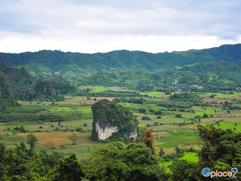
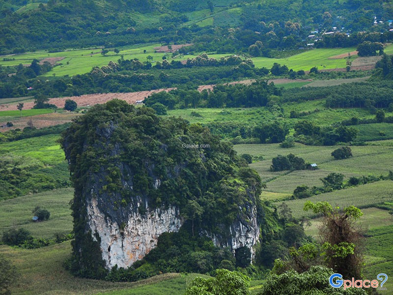
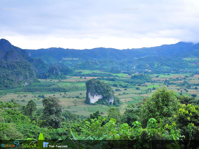
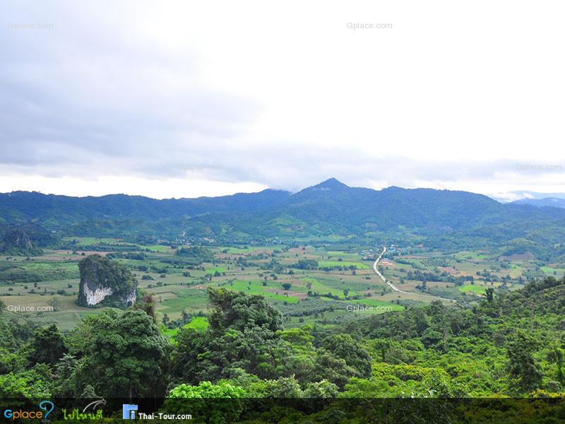
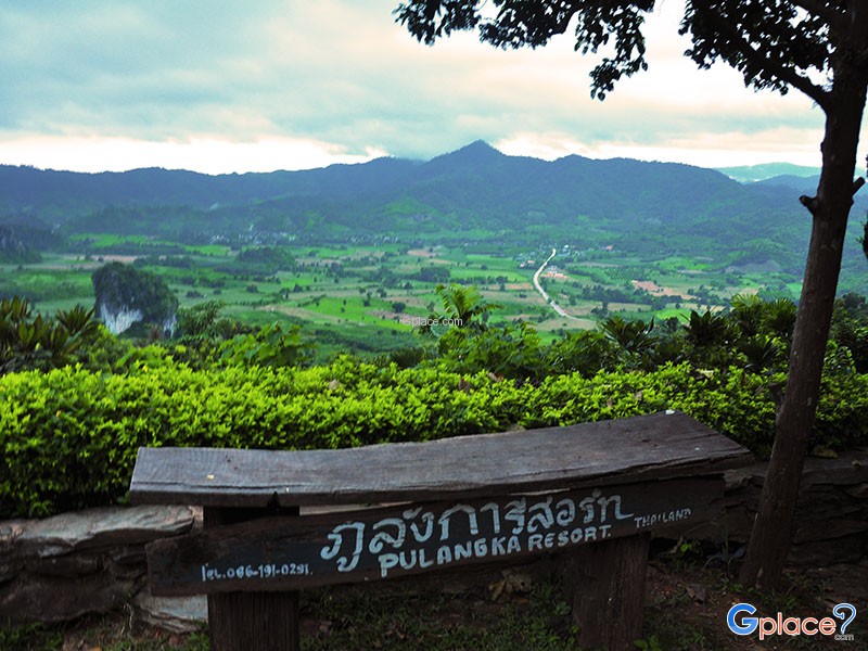
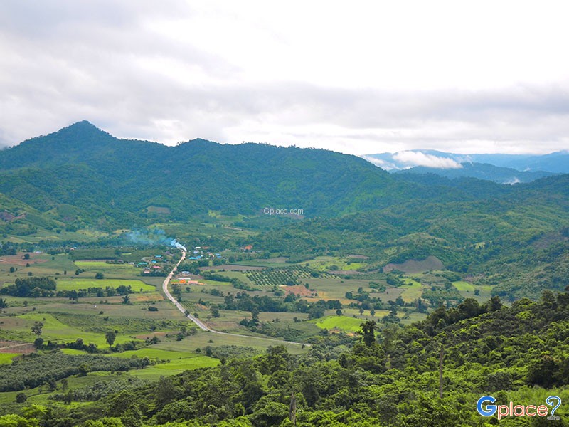
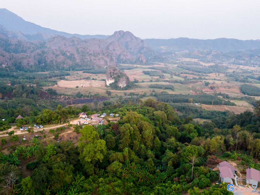
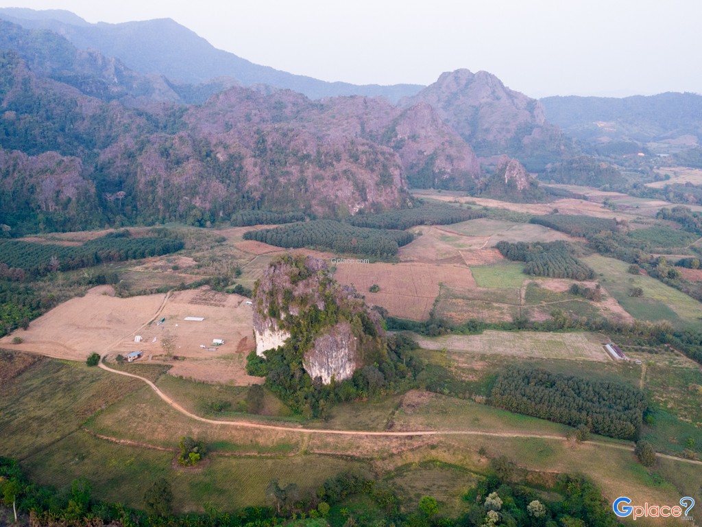
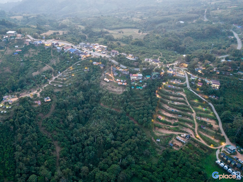
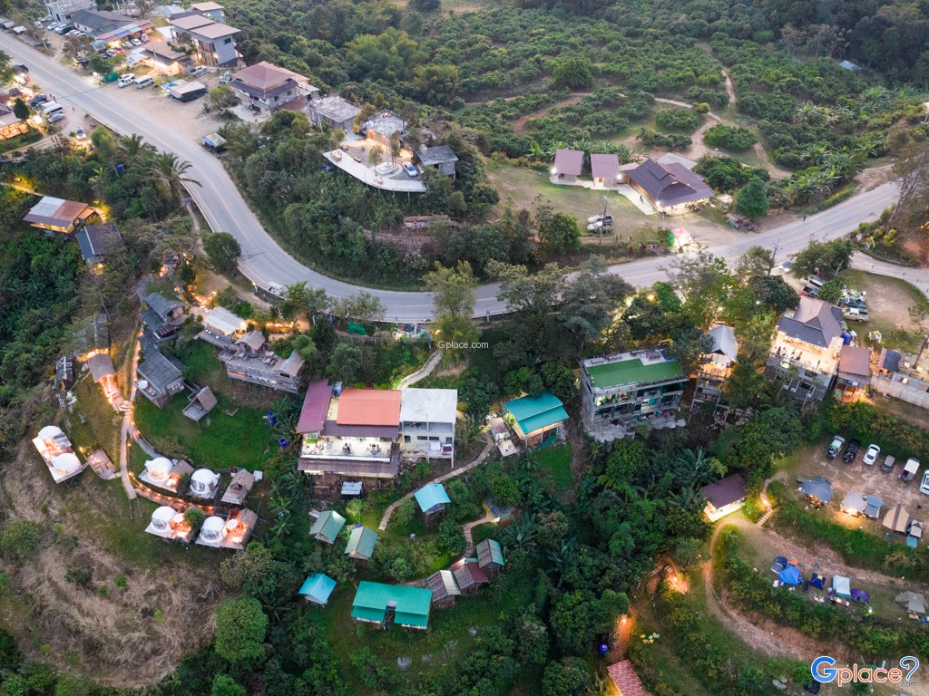
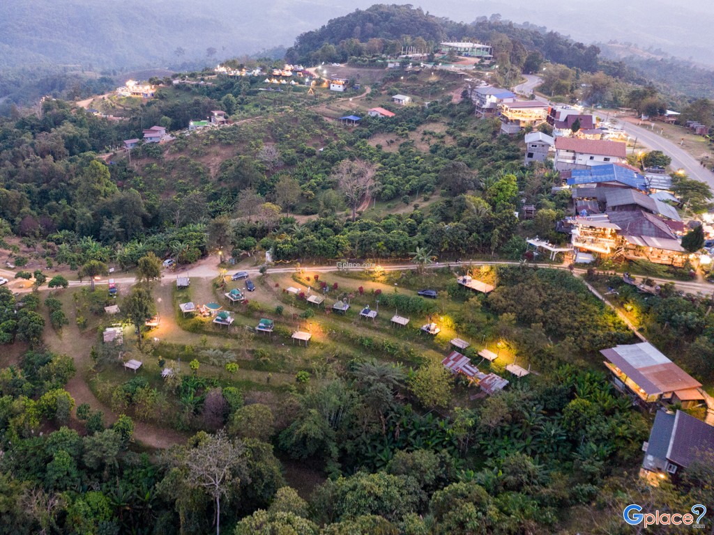
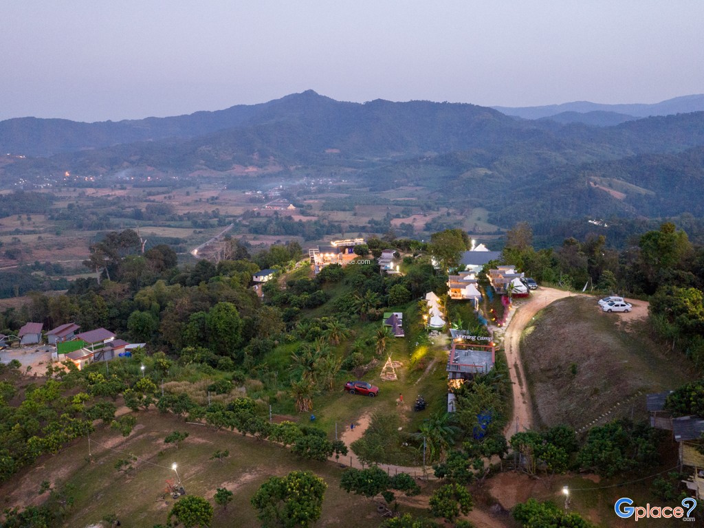
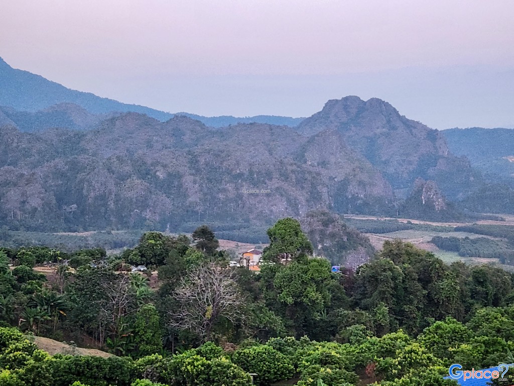
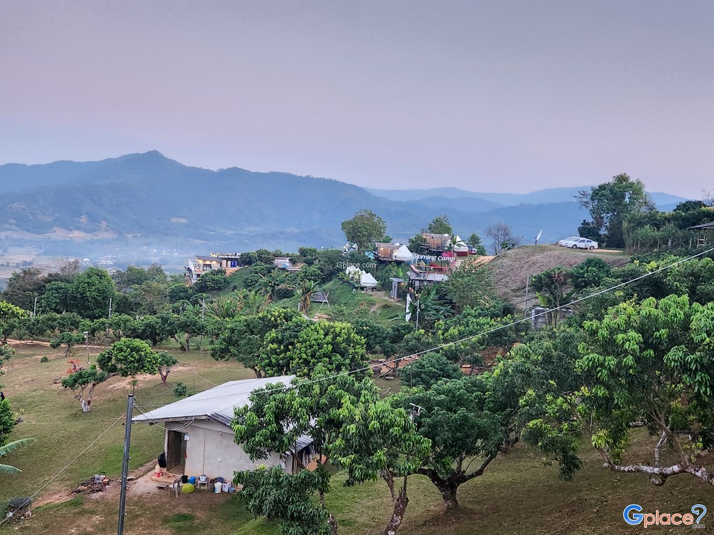
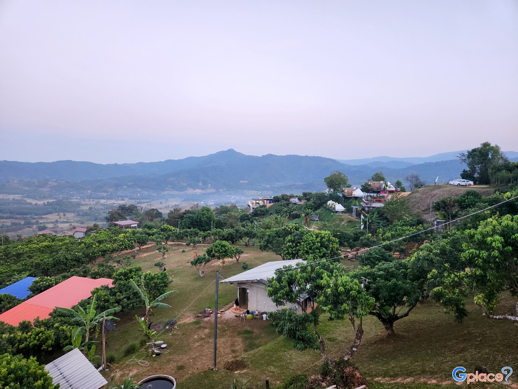
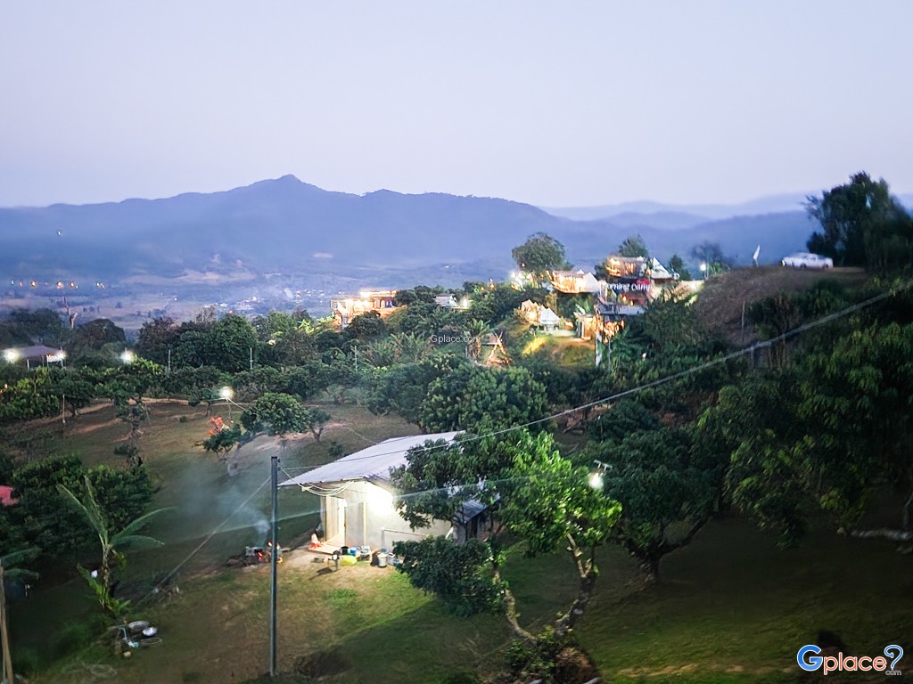
- Pha Chang Noi is the most popular and accessible check-in point, featuring a limestone cliff shaped like a small elephant nestled among the rice fields and valleys below. This area is home to famous cafes and resorts, such as Magic Mountain, offering 180-degree views of the limestone peaks often shrouded in morning mist. Meanwhile, Phu Nom is a beautifully rounded peak resembling a "Dragon's Breast" according to local lore. Nature enthusiasts can trek along the ridge to enjoy 360-degree panoramic views, experiencing the powerful winds and a vast, endless horizon.
Nature, Wildlife, and History:
- This forest is a sanctuary for rare plant species found only at high altitudes, such as the Chomphu Phan, which blooms in vibrant pink, as well as Sat Rue Sai, Thien Thara, Niam Daeng, and Ueang Si Tan orchids all indicators of a healthy evergreen forest. Beyond the flora, over 100 species of wildlife, including tigers, bears, and wild boars, reside deep within its woods. Historically, Phu Langka was once designated as a Red Zone, serving as a strategic stronghold during the conflict between the Thai government and the Communist Party of Thailand. Remnants of bunkers and strategic trails remain for later generations to learn about the region's political and social evolution.
Activities:
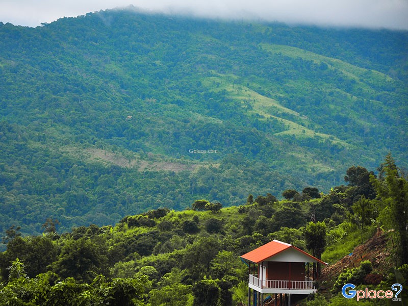
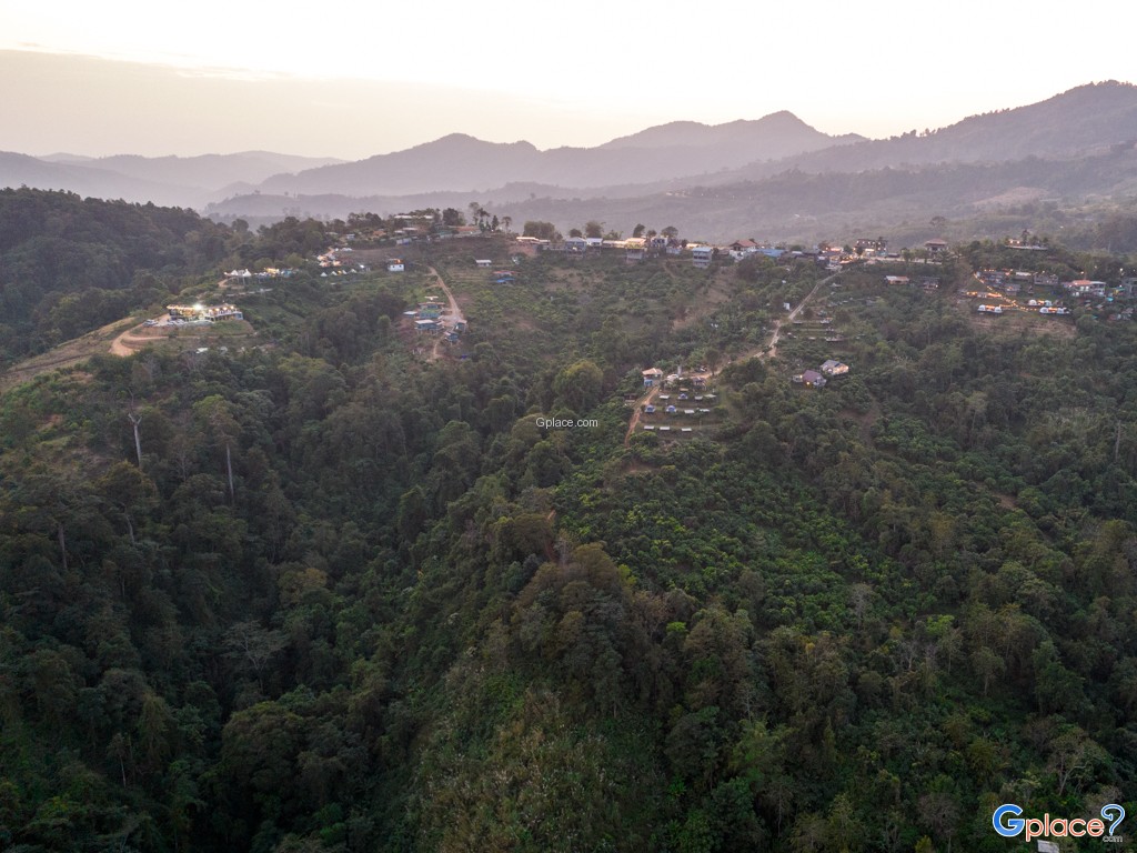
- The quintessential activity is nature trekking along the mountain ridges to witness seasonal wildflowers and rare ground orchids. Photographers often flock here to capture the first light of day over the sea of mist at Pha Chang Noi. Alternatively, visitors can choose to camp and stargaze at the designated campsites amidst the freezing night air. The atmosphere is so tranquil that one can hear the wind whistling through the pine needles—perfect for a "brain rest" to escape the chaos and immerse oneself in the simple, enduring traditions of the local hill tribe communities.
How to Get There
Private Car / Motorcycle:
- Use Highway 1148 (Chiang Kham–Nan) towards Pong District. The road up to Phu Langka is paved but steep in some sections; drive cautiously.
Bicycle / Walking:
- Suitable for visitors staying nearby; paths provide access to the viewpoints.
Public Transport:
- Take a songthaew or taxi from Phayao city or Chiang Kham to Pong District, then follow signs to Phu Langka.
Travel Tips
-
Recommended Season: October–February, ideal for clear sea of mist and cool weather.
-
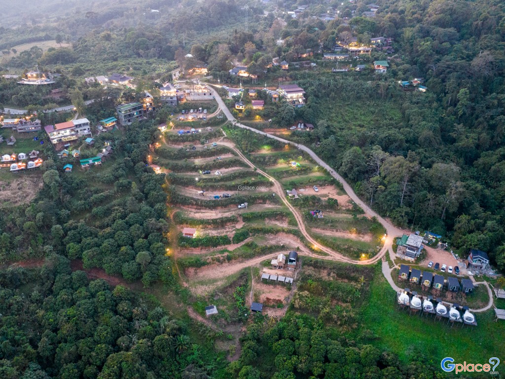
Overnight Stay: Accommodation and camping areas are available at the summit; check availability and weather conditions in advance.
-
Facilities: Bring food, water, and lighting equipment, as there is no electricity on the mountaintop.
Entrance Fee:
-
Adults: 20 THB
-
Children: 10 THB
-
Vehicle: Motorcycle 20 THB, Car 30 THB
Opening Hours:
-
Visitor Center: 06:00 – 18:00
-
Summit and camping areas: Open 24 hours for sunrise, sea of mist, and stargazing
Phu Langka Forest Park
![]() hu Langka Forest Park, Pha Chang Noi Subdistrict, Pong District, Phayao
Map
hu Langka Forest Park, Pha Chang Noi Subdistrict, Pong District, Phayao
Map
![]() Open now
Open now
![]()
 5703
5703