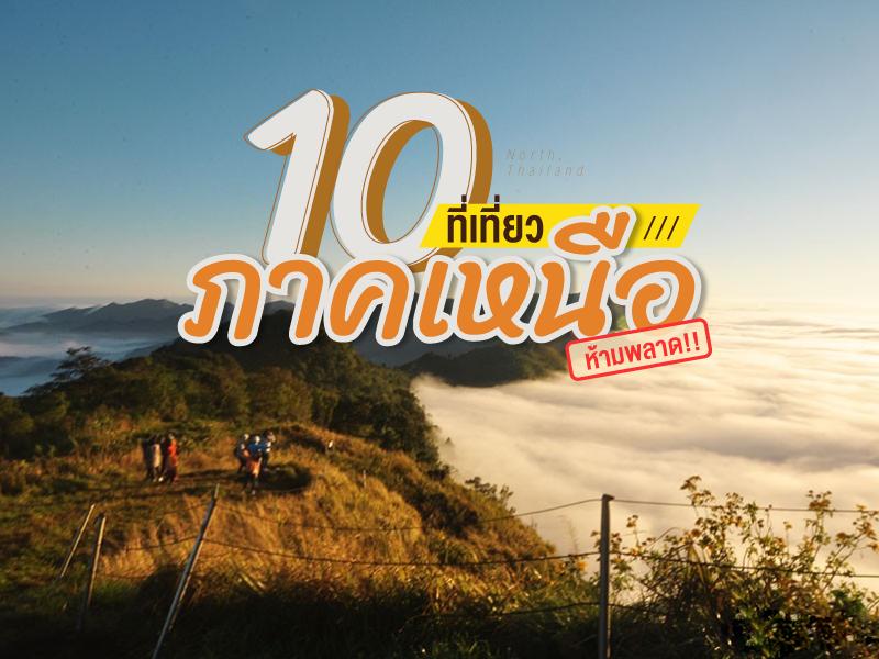
10 ที่เที่ยว ภาคเหนือ ห้ามพลาด
 34462
34462
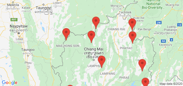
 10 ที่เที่ยว ภาคเหนือ ห้ามพลาด ที่เที่ยวเชียงใหม่ เชียงราย น่าน เเละอีกหลายจังหวัดเด็ดๆในภาคเหนือ พร้อมต้อนรับหน้าหนาวนี้
Doi Luang Chiang Dao stands as a limestone peak reaching 2,225 meters above sea level, featuring distinct geological characteristics that are rare in this region. The landscape from the summit is majestic, characterized by complex mountain ridges, particularly the Pyramid Peak and the Three Brothers Peaks, which are often enveloped in a thick sea of mist during the morning. Visitors can experience...
read more
Doi Ang Khang possesses a deeply valuable history as the site of the Ang Khang Royal Agricultural Station, the first royal agricultural research station established by King Bhumibol Adulyadej the Great (Radama IX) in 1969. The creation of this station began when His Majesty traveled through opium fields and witnessed the shifting cultivation practiced by hill tribes. He initiated a royal project t...
read more
3
Pang Ung
This place has a long history. Orig... read more
Phu Chi Fa is not just an ordinary viewpoint; it is an icon that anyone visiting Chiang Rai simply cannot miss. The name of the peak is derived from its amazing physical characteristic: a stone cliff with a sharp point pointing towards the sky. The tip of this cliff protrudes into Laos, meaning that when you stand at the peak, you experience standing on the edge of the sky with a clear view o...
read more
Doi Samer Dao and Pha Hua Sing are iconic destinations in Nan province, known for their panoramic mountain scenery and enchanting morning sea of mist. This spot attracts countless nature lovers who wish to immerse themselves in the serene beauty of northern Thailand.
What makes this site truly special is its spectacular sunrise and sunset viewpoints. Visitors often camp overnight to witness the sh... read more
What makes this site truly special is its spectacular sunrise and sunset viewpoints. Visitors often camp overnight to witness the sh... read more
Phu Langka Forest Park is part of the Salphan Nam Mountain Range (also known as Phi Pan Nam Range) and serves as the source of the Yom River. The park covers approximately 7,800 rai (1,248 hectares), predominantly composed of dense evergreen forest with high biodiversity.
Phu Langka Peak (Phu Thewada): The highest peak, known to the local Mien people as “Finja Bo,” meaning “Phu T... read more
Phu Langka Peak (Phu Thewada): The highest peak, known to the local Mien people as “Finja Bo,” meaning “Phu T... read more
Doi Khun Tan National Park in the Lampang area holds immense significance as the starting point of a new chapter in northern Thailand's rail transportation. The Hang Chat District side of Lampang is the site of the Khun Tan Tunnel, the longest railway tunnel in Thailand (1,352.10 meters). Construction began during the reign of King Rama V under the supervision of German engineer Mr. Emil Eisenhofe...
read more
Mon Pui Mok is the highest peak among the hills in Mae Moei National Park.
Scenic Beauty & Uniqueness: Unlike other nearby hills accessible by car, such as Mon Kiw Lom or Mon Kruba Sai, Mon Pui Mok can only be reached on foot. This ensures privacy and preserves its natural environment. The summit features a wide grassy plateau that turns golden during the winter season.
Sea of Mist Phenomenon:... read more
Thi Lo Su Waterfall is a gigantic limestone waterfall cascading down a steep cliff over 250–300 meters high. Its powerful flow resonates throughout the valley all year long. The original Karen term “Thi Lo Chue” means “water that falls forcefully and crashes onto the ground”, but the name was later mispronounced as “Thi Lo Su,” which some mistakenly transl...
read more
Phu Soi Dao National Park is the ultimate pride of the Thai trekking scene, especially during the rainy season when lush greenery covers every inch of the landscape. The journey begins with a heart-pounding trek through five brutal hills, starting from Sending Relatives Hill all the way to Death Hill (Neun Morana)a slope so steep that your face almost touches your knees. However, this is the perfe...
read more


