“A colossal multi-tiered limestone waterfall flowing all year round, surrounded by rich evergreen forest, and accessible through adventurous routes including rafting and the famous 1,219-curved mountain road.”
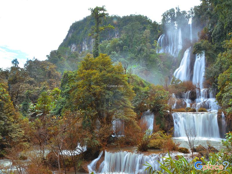
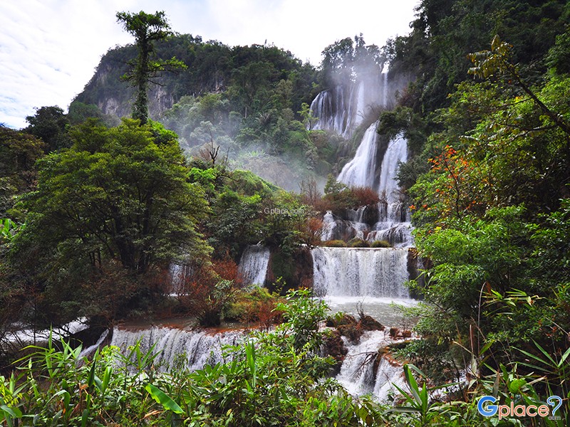
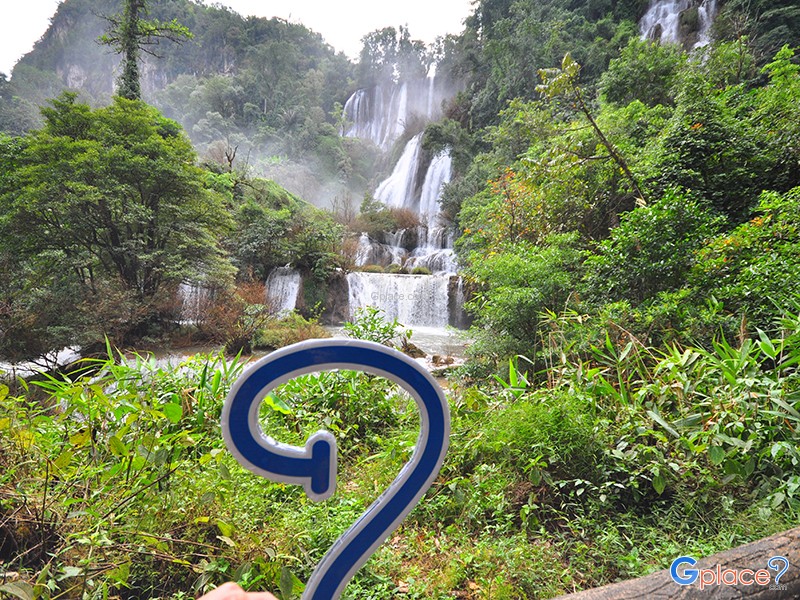
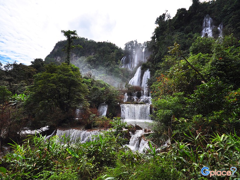
Thi Lo Su Waterfall is a gigantic limestone waterfall cascading down a steep cliff over 250–300 meters high. Its powerful flow resonates throughout the valley all year long. The original Karen term “Thi Lo Chue” means “water that falls forcefully and crashes onto the ground”, but the name was later mispronounced as “Thi Lo Su,” which some mistakenly translated as “black waterfall,” although the word “su” has no relation to the word “black.”
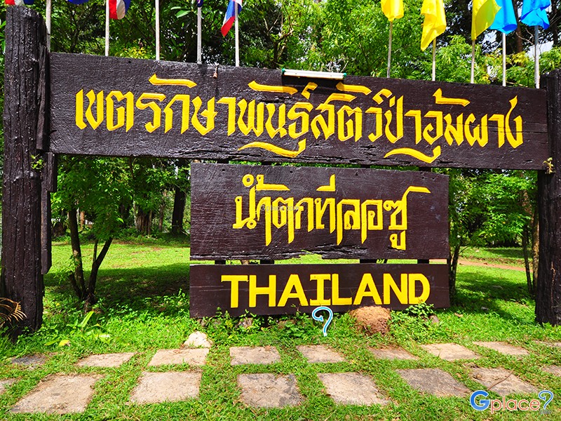
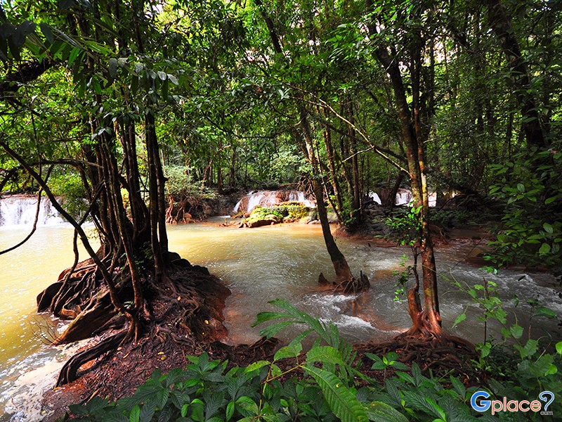
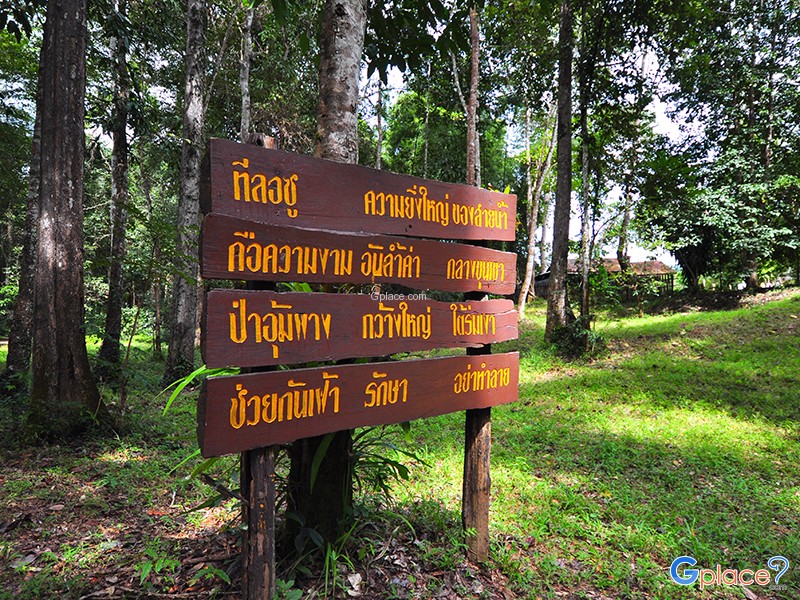
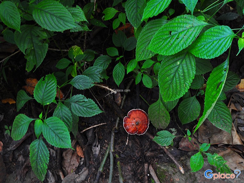
The waterfall lies within the dense evergreen forest of Umphang Wildlife Sanctuary, about 3 kilometers from the headquarters. Visitors must trek approximately 1.5 kilometers along a nature trail that passes bamboo groves, mixed deciduous forest, and seasonal wild ginger blooms. Educational signs about local plants and ecosystems line the trail. At the end, mist fills the air as water plunges down a limestone cliff more than 500 meters wide, surrounded by lush forest.
Discovery History
The waterfall was first found by Karen hunters. Later, Border Patrol Police flew over the area and officially documented its grandeur. The Royal Forest Department subsequently designated the surrounding area as a wildlife sanctuary.
In 1985, District Chief Preecha Intawong led writers from Camping magazine to survey the route, which brought Thi Lo Su into national attention and quickly made it a destination for adventure travelers. Research by Pracha Mae Chan, in Umphang: Behind Nature, indicates that the waterfall area was once home to Karen communities, known as “Wa Chue Ki,” before villagers relocated due to past political unrest.
Waterfall Structure
Thi Lo Su is fed by the Klotho Stream originating from Doi Pha Wee, later joining the Mae Klong River in Mae Lamung. The waterfall consists of three main sections:
-
Left section: The largest and most beautiful, with multiple grand cascades.
-
Middle section: Narrower but flows from the same high cliff.
-
Right section: Several smaller streams cascading over a lower cliff.
Together, they form an immense panoramic curtain of water—Thi Lo Su’s iconic view.
A viewpoint trail on the opposite side takes around 2 hours (round-trip) and offers the most complete and breathtaking view of the falls.
Seasonal Beauty
Rainy Season (June 1 – Nov 30):
The waterfall is at its most powerful. The vehicle route is closed for safety; access requires rafting and trekking about 12 km.
Winter–Summer (Dec 1 – May 31):
4WD vehicles can reach the campsite area. Ideal for sightseeing and camping.
Nine Suns – Rainbow Phenomenon
Thi Lo Su was selected as one of the “Nine Suns” in TAT’s “12 Months, 7 Stars, 9 Suns” campaign. Its signature attraction is the morning rainbow phenomenon, formed when sunlight reflects off dense water mist—visible only under perfect conditions.
Travel Precautions
Some parts of the trail require walking across streams and extremely slippery rocks. Good trekking shoes and careful footing are essential.
How to Get There
-
4WD access only during the open-road season (Dec–May).
-
During the rainy season (Jun–Nov), visitors must raft + trek 12 km to reach the waterfall.
-
The route from Mae Sot to Umphang includes the famous 1,219 curves, suitable for experienced drivers or guided tours.
Travel Tips
-
Best photography season: late rainy season to early winter
-
Wear high-traction trekking shoes
-
Waterproof your belongings
-
Pre-book rafting packages
-
Be cautious of slippery rocks during high water flow
Admission Fee:
- Thai: Adults 30 THB / Children 20 THB
- Foreigners: Adults 400 THB / Children 200 THB
- Vehicle fee: 60 THB per car
- Camping & accommodation fees: Contact the sanctuary office
Opening Hours:
- Umphang Wildlife Sanctuary operating hours: 08:00 – 17:00
Thi Lo Su Waterfall
![]() Thi Lo Su Waterfall, Mae Chan Subdistrict, Umphang District, Tak
Map
Thi Lo Su Waterfall, Mae Chan Subdistrict, Umphang District, Tak
Map
![]() Open now : 8.00 - 17.00
Open now : 8.00 - 17.00![]()
Mon8.00 - 17.00
Tue8.00 - 17.00
Wed8.00 - 17.00
Thu8.00 - 17.00
Fri8.00 - 17.00
Sat8.00 - 17.00
Sun8.00 - 17.00
![]() https://www.thai-tour.com/program/main_teloso.htm
https://www.thai-tour.com/program/main_teloso.htm
![]()
 35400
35400