


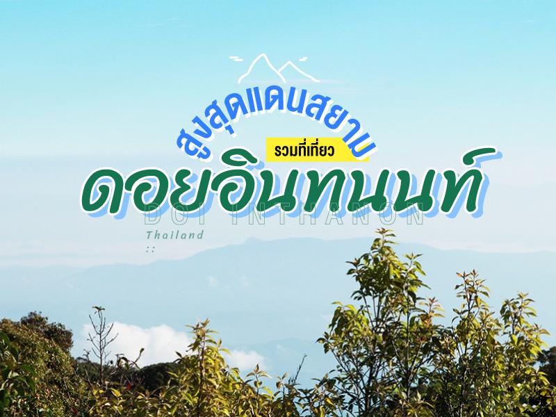
สุดๆ ไปเลย ดอยอินทนนท์
 31559
31559
 สูงสุดแดนสยาม....พักตีนดอย ตี่นแต่เช้ามืด ข้าวเช้าห่อไปทาน นั่งรถวิ่งขึ้นดอยเลย เที่ยวจุดสูงสุดก่อน แล้วไล่ลงมา จะได้ไม่ไปเบียดเสียดกับนักท่องเที่ยวรายอื่นๆ
สัมผัสอากาศเย็นแต่เช้ามืด จากตีนดอย ที่พักอินทนนท์ ไฮแลนด์ กว่า 40 กม. เกือบ 1 ชม. ถึงยอดดอย ขับรวดเดียวไม่แวะที่ไหน
ไปชิลๆ ฟินๆ บนยอดดอย หาอะไรร้อนๆ ทานที่ สถานีตรวจวัดอุณหภูมิสิรินธร (ยอดดอย) ถ่ายรูปคู่ป้าย "สูงสุดแดนสยาม" เคารพสิ่งศักดิ์สิทธิ์ของที่นี่ก่อน "กู่พระเจ้าอินทวิชยานนท์" ผมแนะนำเดินป่าอ่างกา ชื่นชมกับธรรมชาติแบบสุดยอดดอย ป่าดงดิบขนานแท้ เพียงเดินข้ามถนน เข้าห้องน้ำห้องท่าให้เรียบร้อย ถ่ายรูปกุหลาบพันปี โคมญี่ปุ่น มอส เฟริน์ ฯลฯ
ขับรถออก(ขาลง)ไปไหว้พระธาตุฯ พระมหาธาตุนภเมทนีดลและพระมหาธาตุนภพลภูมิสิริ สักหนึ่งถึงชัวโมงครึ่ง หลังพระธาตุมีลานสวนไม้ดอก และจุดชมวิว ด้านล่างมีร้านอาหารของสหกรณ์ ขายเครื่องดื่ม น่าใช้เป็นจุด นัดพบสมาชิกท่านอื่น หากมีเวลามากพอ...เส้นทางศึกษาธรรมชาติกิ่วแม่ปาน ผมแนะนำ ให้ใช้ชาวม้งนำทาง ปากทางเข้ามีคนพาทริปเดินป่า ชื่นชมสาแก่ใจแล้วเดินทางต่อ ไปเกษตรหลวง(โครงการหลวง) มีแปลงผักเมืองหนาว ลานไม้ดอก จุดดูนก เส้นทางเดินป่า ร้านขายของฝาก ฯลฯ
แวะเที่ยวน้ำตก ไล่ตาม GPS ได้เลยครับ น้ำตกสิริภูมิ ใกล้ที่สุด สามารถถ่ายรูปได้แต่ไกล ดูเด่นสง่าสวยงามมาก ไม่ต้องเดินเข้าไปก็ได้ (แต่ผมเดินลุยเข้าไปน่ะ พอมีเวลาอยู่บ้าง) งานนี้อย่าลืมขาตั้งกล้อง อีกน้ำตกคือ วชิรธาร รถยนต์ถึง ถ่ายรูปได้เลย ไม่เหนื่อย
ปล. กะเวลาดีๆ ครับ อยากให้พักแต่ตีนดอย พักตัวเมืองเสียเวลาเดินทาง เปล่าๆ
สูงสุดแดนสยาม....พักตีนดอย ตี่นแต่เช้ามืด ข้าวเช้าห่อไปทาน นั่งรถวิ่งขึ้นดอยเลย เที่ยวจุดสูงสุดก่อน แล้วไล่ลงมา จะได้ไม่ไปเบียดเสียดกับนักท่องเที่ยวรายอื่นๆ
สัมผัสอากาศเย็นแต่เช้ามืด จากตีนดอย ที่พักอินทนนท์ ไฮแลนด์ กว่า 40 กม. เกือบ 1 ชม. ถึงยอดดอย ขับรวดเดียวไม่แวะที่ไหน
ไปชิลๆ ฟินๆ บนยอดดอย หาอะไรร้อนๆ ทานที่ สถานีตรวจวัดอุณหภูมิสิรินธร (ยอดดอย) ถ่ายรูปคู่ป้าย "สูงสุดแดนสยาม" เคารพสิ่งศักดิ์สิทธิ์ของที่นี่ก่อน "กู่พระเจ้าอินทวิชยานนท์" ผมแนะนำเดินป่าอ่างกา ชื่นชมกับธรรมชาติแบบสุดยอดดอย ป่าดงดิบขนานแท้ เพียงเดินข้ามถนน เข้าห้องน้ำห้องท่าให้เรียบร้อย ถ่ายรูปกุหลาบพันปี โคมญี่ปุ่น มอส เฟริน์ ฯลฯ
ขับรถออก(ขาลง)ไปไหว้พระธาตุฯ พระมหาธาตุนภเมทนีดลและพระมหาธาตุนภพลภูมิสิริ สักหนึ่งถึงชัวโมงครึ่ง หลังพระธาตุมีลานสวนไม้ดอก และจุดชมวิว ด้านล่างมีร้านอาหารของสหกรณ์ ขายเครื่องดื่ม น่าใช้เป็นจุด นัดพบสมาชิกท่านอื่น หากมีเวลามากพอ...เส้นทางศึกษาธรรมชาติกิ่วแม่ปาน ผมแนะนำ ให้ใช้ชาวม้งนำทาง ปากทางเข้ามีคนพาทริปเดินป่า ชื่นชมสาแก่ใจแล้วเดินทางต่อ ไปเกษตรหลวง(โครงการหลวง) มีแปลงผักเมืองหนาว ลานไม้ดอก จุดดูนก เส้นทางเดินป่า ร้านขายของฝาก ฯลฯ
แวะเที่ยวน้ำตก ไล่ตาม GPS ได้เลยครับ น้ำตกสิริภูมิ ใกล้ที่สุด สามารถถ่ายรูปได้แต่ไกล ดูเด่นสง่าสวยงามมาก ไม่ต้องเดินเข้าไปก็ได้ (แต่ผมเดินลุยเข้าไปน่ะ พอมีเวลาอยู่บ้าง) งานนี้อย่าลืมขาตั้งกล้อง อีกน้ำตกคือ วชิรธาร รถยนต์ถึง ถ่ายรูปได้เลย ไม่เหนื่อย
ปล. กะเวลาดีๆ ครับ อยากให้พักแต่ตีนดอย พักตัวเมืองเสียเวลาเดินทาง เปล่าๆ


Top of Doi Inthanon is the highest peak of the Thanon Thong Chai Range and the highest point in Thailand, reaching an altitude of 2,565 meters above sea level. Originally known as Doi Ang Ka (Crow’s Pond Mountain) due to a natural pond where crows gathered, its history changed significantly during the reign of King Inthawichayanon, the 7th ruler of Chiang Mai. The King loved and cherish...
read more


Ang Ka Nature Trail has a fascinating and long history associated with the exploration of Doi Inthanon. Originally, this area was called Doi Ang Ka (Crow's Pond Mountain) after a natural pond on the summit where large flocks of crows used to gather to bathe, which eventually became the source of its name. The area has been studied by foreign zoologists and botanists since before World War II becau...
read more


Kew Mae Pan Nature Trail holds significant history as one of the pioneer ecotourism projects under Doi Inthanon National Park. In the local Northern dialect, "Kew" means a narrow and tapering mountain ridge, while "Mae Pan" refers to the stream flowing below. This trail was developed to be the most complete "nature classroom," focusing on educating visitors about headwater ecosystems and the inter...
read more


Phra Maha That Naphamethanidon and Phra Maha That Naphaphonphumisiri are sacred monuments built by the Royal Thai Air Force in collaboration with the Thai people. They were established as a royal merit-making tribute to King Bhumibol Adulyadej the Great (Rama IX) and Queen Sirikit, the Queen Mother, on the auspicious occasion of their respective 60th birthdays (5th cycle). Situated near the&n...
read more


The View Point Km 41 is located at kilometer 41 on the Chom Thong–Doi Inthanon road. This viewpoint sits just before the Twin Pagodas. It’s among the most breathtaking sunrise and mist-viewing spots in Doi Inthanon National Park. During the cool season (October–March), the area is often covered by dense morning fog over layered mountains.
Visitors can stop their cars right ...
read more


The Royal Agricultural Station Inthanon is a significant highland temperate plant research station under the Royal Project Foundation, situated on Doi Inthanon, the highest mountain in Thailand. It serves as a vital hub for researching, collecting, and producing various species of temperate flowers and ornamental plants. Additionally, the station cultivates herbs and small temperate fruits distrib...
read more


Siriphum Waterfall possesses a deep historical background and holds immense spiritual significance for the Thai people. Originally, this waterfall was known locally as Lao Pue Waterfall, named after the headman of the Hmong village in the Khun Klang area. Later, when The Royal Agricultural Station Inthanon was established to improve the quality of life for highland ethnic groups, M.C. Bhisade...
read more


Siritharn waterfall is located in Chom Thong District, Doi Inthanon National Park, Chiang Mai. Siritharn waterfall flows down through the rock to a height_ of about 50 meters, down to the second floor with some very beautiful. This is one of the most beautiful waterfall down from a cliff. Down there, there are many wildlife species such as frogs and rare fish e.g. bat fish....
read more

Wachirathan Waterfall is one of the most stunning and powerful waterfalls within Doi Inthanon National Park. The water originates from Mae Klang Creek before plunging 70 meters down a sheer granite cliff. The force of the fall creates a clean, white spray that mists the surrounding rocks and lush vegetation, providing a refreshing and cool atmosphere for all visitors.
A unique feature that ch...
read more


Mae Ya Waterfall is one of the largest and most beautiful waterfalls in Thailand. It is located in the southern part of Doi Inthanon National Park. This waterfall originates from Mae Ya Creek, which flows down from a steep cliff with a total height_ of approximately 260 meters. The waterfall is very wide and flows down in steps over more than 30 tiers of stacked rocks. This creates a view of white ...
read more

Mae Klang Waterfall holds immense ecological and hydrological importance, serving as the confluence for several streams from Doi Inthanon that merge into the Mae Klang River before flowing into the Ping River. Geologically, the waterfall is situated on an ancient granite foundation, part of the Thanon Thong Chai Range formed by tectonic uplifts millions of years ago. The cliff face over which the ...
read more
กำลังเป็นที่นิยม
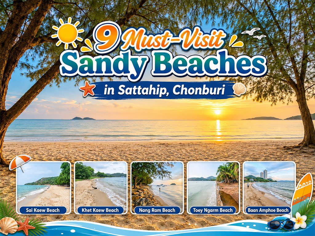
Attractive Beaches in Sattahip, Chonburi
For those looking to escape the hustle and bustle of Pattaya and experience calm..

10 Kanchanaburi Spots When the Rain Softly Falls
Kanchanaburi when the rain softly falls is a beautiful moment between the end of..

Koh Larn Aerial Views by Drone
Starting from Naban Pier, then looping north to Ta Yai Beach → Th..
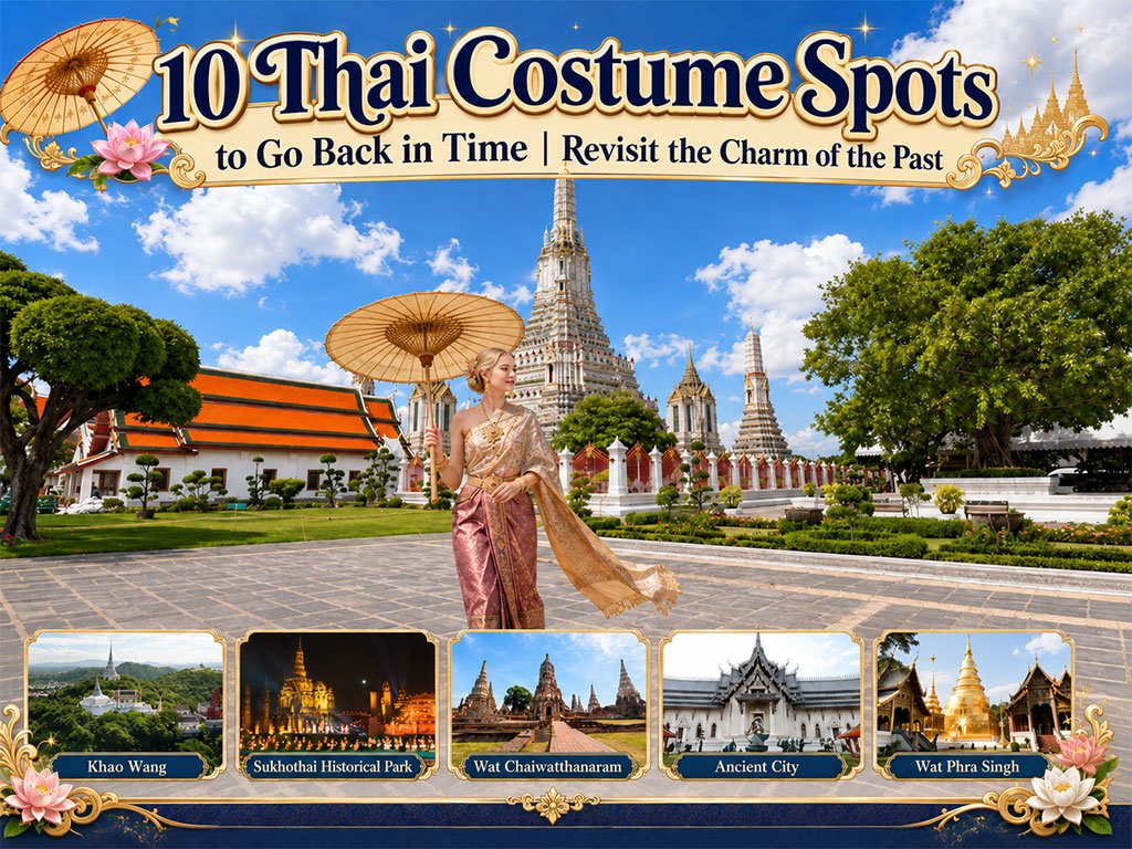
10 Thai Costume Spots to Go Back in Time
Wearing traditional Thai costume and taking photos at beautiful places is more t..
Recommend trips
- 10 Kanchanaburi Spots When the Rain Softly Falls
- The Four Holy Pilgrimage Sites
- Dream Destinations in Switzerland
- Pilgrimage to the Sacred Sites
- Trip to Bhutan
- 10 Sacred Buddhist Sites Thai Temples in India–Nep
- Koh Larn Aerial Views by Drone
- Must-Visit Check-in Spots in London
- Attractive Beaches in Sattahip, Chonburi
- Top Paris Check-in Spots
- 10 Thai Costume Spots to Go Back in Time
- Thailand’s Sandbar Wonders
- 10 Must-Visit Spots Along the Chao Phraya River, B
- 8 World Heritage Sites of Thailand
- The Ultimate Ancient Villages in Japan
- 10 Best Shopping Destinations in Bangkok
- 10 Must-Visit Places in Waterford
- 10 Must-Check-In Spots in Ireland
- Top 10 Must-Visit Spots in Pattaya
- Thailand Nature Trails