
 Attractions
  Hotel
Hotel  Restaurant
  Shopping
  Abroad
  Nearby Places





12 Tourist Attractions Doi Inthanon

 36227
36227

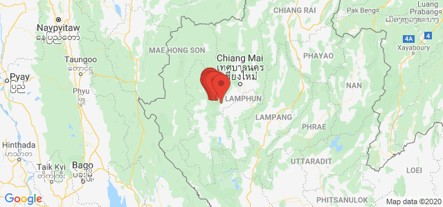
Doi Inthanon is the highest mountain in Thailand, located within Doi Inthanon National Park, Chiang Mai Province. Its peak reaches approximately 2,565 meters above sea level and is a popular destination for nature lovers, waterfalls, cool weather, and sea of mist views.
The main route up the mountain is Highway No. 1009 from Chom Thong District to the summit. Along the way, there are several important tourist attractions. This list is arranged according to the travel route from the foothills up to the upper areas and Thailand's highest point.
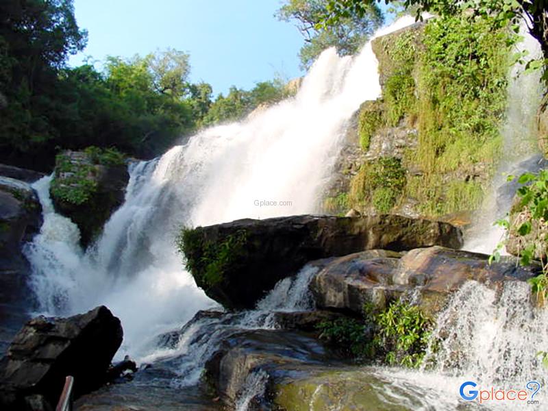
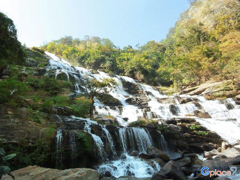
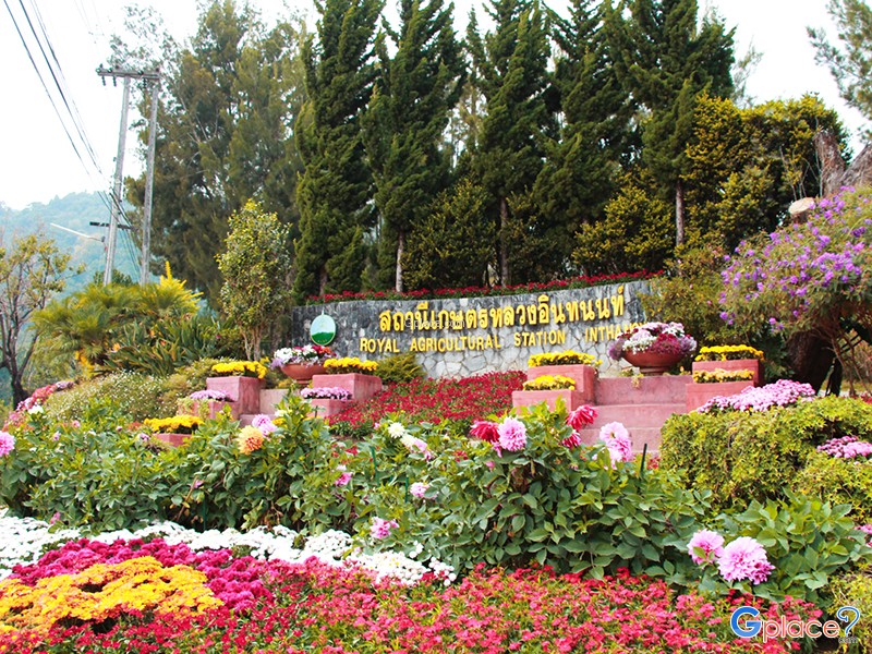
The foothills are characterized by large waterfalls such as Mae Klang Waterfall and Mae Ya Waterfall. Meanwhile, the middle area features Wachirathan Waterfall Sirithan Waterfall Ban Mae Klang Luang Pha Dok Sieo Waterfall and Royal Agricultural Station Inthanon.
The upper areas of the mountain are home to Kilometer 41 Viewpoint, Royal Twin Pagodas, Kew Mae Pan Nature Trail, and Doi Inthanon Summit, where the weather is cool almost all year round, especially during the cold season when temperatures can drop significantly in the mornings.
Mae Ya Waterfall is on a separate route from the main road, so allow extra travel time. If you only have one day, it's recommended to choose key attractions based on your interests and avoid over-planning.
12 Must-Visit Spots
| No. | Attraction | Highlight |
|---|---|---|
| 1 | Mae Klang Waterfall | Large waterfall at the foothills, easily accessible |
| 2 | Mae Ya Waterfall | Over 260-meter high waterfall, located on a separate route from the main road |
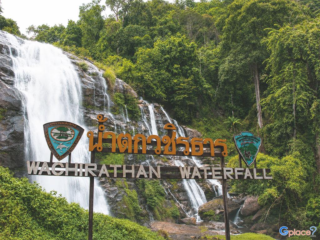
| 3 | Wachirathan Waterfall | Large waterfall by the highway, with mist spreading throughout the area |
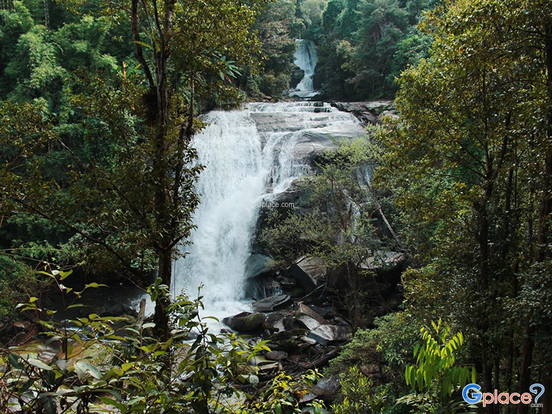
| 4 | Sirithan Waterfall | Waterfall in the forest, viewed from a scenic balcony |
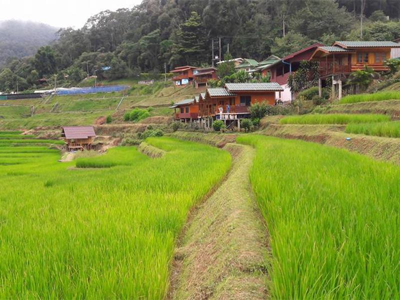
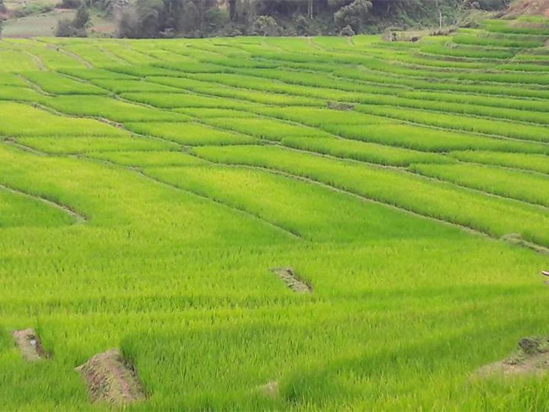
| 5 | Ban Mae Klang Luang | Karen hill tribe way of life, terraced rice fields, and local coffee |
| 6 | Pha Dok Sieo Waterfall | Waterfalls and a forest trail exploring local community life |
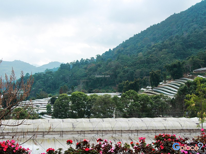
| 7 | Royal Agricultural Station Inthanon | Learning center for temperate plants and highland research |
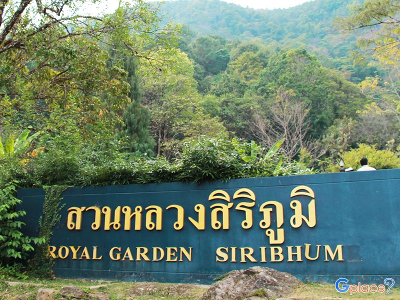
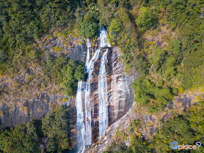
| 8 | Siriphum Waterfall | Twin waterfalls amidst nature and Siriphum Royal Garden |
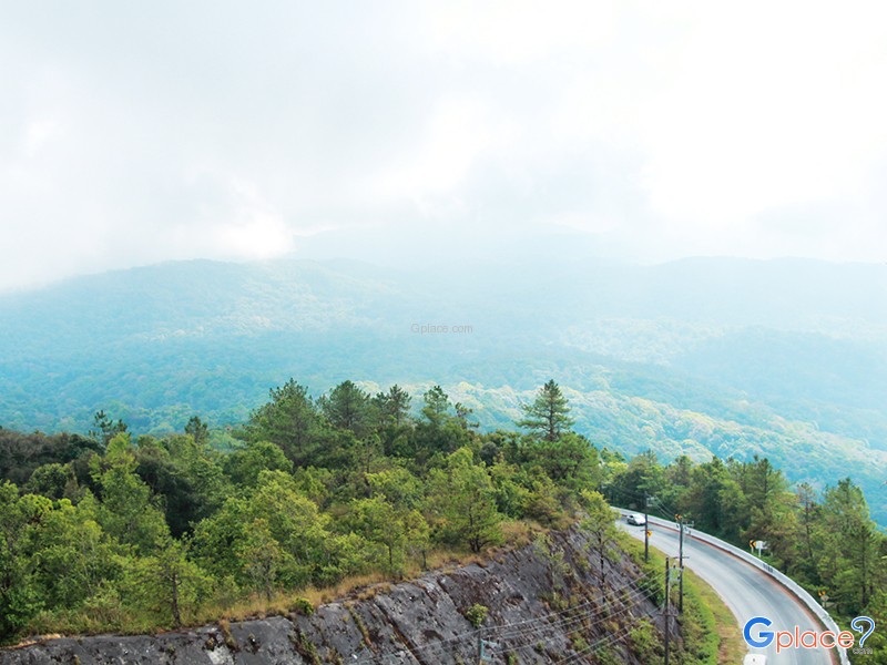
| 9 | Kilometer 41 Viewpoint | Popular spot for sunrise and sea of mist views |
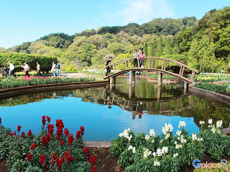
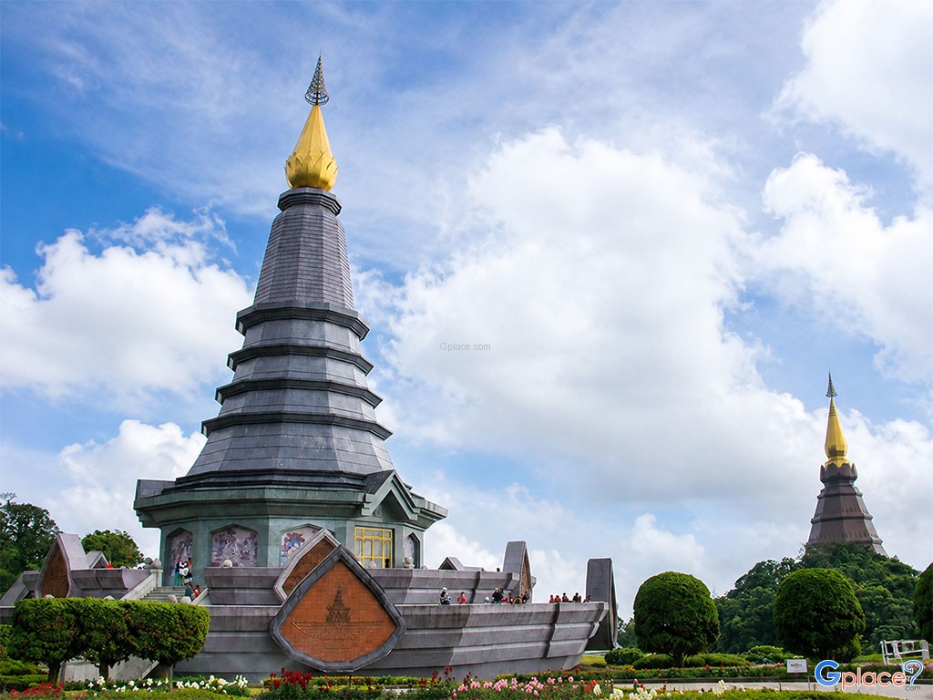
| 10 | Royal Twin Pagodas | Phra Maha That Naphamethinidon-Naphaphonphumisiri and flower gardens |
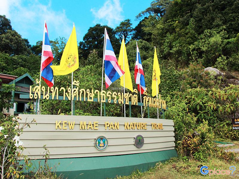
| 11 | Kew Mae Pan Nature Trail | Ridge hiking trail with mountain and sea of mist views |
| 12 | Doi Inthanon Summit | Thailand's highest point and Ang Ka Nature Trail |
Additional Information
- It's recommended to depart from Chiang Mai city early in the morning if you plan to visit multiple spots in one day.
- Prepare warm clothes and windbreakers, especially for the Royal Pagodas, Kew Mae Pan, and the summit.
- Wear comfortable shoes with good grip for visiting waterfalls and nature trails.
- Check announcements for opening/closing of Kew Mae Pan trail and weather conditions before traveling.
- At Ban Mae Klang Luang and Pha Dok Sieo Waterfall, it's advisable to use local guides for safety and to support the community economy.
- Drive carefully, as the route has steep slopes, curves, and may have thick fog. If you have only one day, it's recommended to focus on the Ban Mae Klang Luang area, Royal Twin Pagodas, Kew Mae Pan, and the summit.
- If you wish to visit Mae Ya Waterfall, consider reducing the number of other stops to allow for a relaxed visit.
Admission Fees
- There is an entrance fee for Doi Inthanon National Park as specified by the park. Some attractions may have additional entrance fees, parking fees, shuttle fees, or guide service fees.
Operating Hours
- Doi Inthanon National Park is open for visitors daily during specified hours. Some attractions and nature trails may have different opening/closing times depending on the season, weather conditions, and official announcements.


กำลังเป็นที่นิยม

Doi Inthanon is the highest mountain in Thailand, located within Doi Inthanon Na..

Chiang Mai is not just about temples and Lanna culture; it also boasts vast fore..

Wearing traditional Thai costume and taking photos at beautiful places is more t..

This route comprehensively gathers Nan's important historical, religious, artist..
Recommend trips
- 12 Tourist Attractions Doi Inthanon
- Pilgrimage to the Sacred Sites
- Trip to Bhutan
- 10 Sacred Buddhist Sites Thai Temples in India–Nep
- 10 Thai Costume Spots to Go Back in Time
- The Four Holy Pilgrimage Sites
- 10 Must-Visit Checkpoints in Nan
- Dream Destinations in Switzerland
- Must-Visit Check-in Spots in London
- Top Paris Check-in Spots
- 10 Must-Visit Spots Along the Chao Phraya River, B
- 8 World Heritage Sites of Thailand
- Chiang Mai's Ultimate National Parks
- The Ultimate Ancient Villages in Japan
- Watsons Bay Half-Day Trip
- 10 Must-Visit Places in Waterford
- 10 Best Shopping Destinations in Bangkok
- Thailand Nature Trails
- 1-Day Kirribilli & Sydney Harbour Walking Tour
- 10 Must-Visit Spots in Koh Yao