


เชียงใหม่ ต้องเที่ยว
 73245
73245
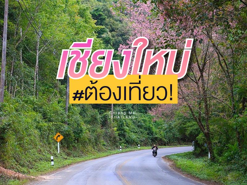 รวมสถานที่ท่องเที่ยว เมื่อมาเชียงใหม่แล้ว "ต้องเที่ยว"
ตามนี้เลยครับ วาง GPS แต่ละจุดท่องเที่ยวไว้ให้แล้ว
รวมสถานที่ท่องเที่ยว เมื่อมาเชียงใหม่แล้ว "ต้องเที่ยว"
ตามนี้เลยครับ วาง GPS แต่ละจุดท่องเที่ยวไว้ให้แล้ว


Doi Inthanon National Park, located in Chiang Mai Province, is home to the highest peak in Thailand — Doi Inthanon, standing at 2,565 meters above sea level. The park spans over 482.4 square kilometers and covers parts of Chom Thong, Mae Chaem, Mae Wang, and Doi Lo districts.
Shaped by the Himalayan mountain range, the park features a landscape of rugged high mountains running north to south...
read more


Mae Kampong Village has a long history of settlement dating back over 100 years. It was founded by a group of villagers who migrated from nearby districts to cultivate Miang (wild tea leaves), which has been the primary economic crop of the community since the past. The village's name originates from the beauty of nature; Kampong is the name of a yellow and red wild flower that commonly grows alon...
read more


Doi Ang Khang possesses a deeply valuable history as the site of the Ang Khang Royal Agricultural Station, the first royal agricultural research station established by King Bhumibol Adulyadej the Great (Radama IX) in 1969. The creation of this station began when His Majesty traveled through opium fields and witnessed the shifting cultivation practiced by hill tribes. He initiated a royal project t...
read more


Wat Phra That Doi Suthep is far more than just a landmark — it is regarded as the most sacred temple in Northern Thailand and the spiritual symbol of the Lanna people. Founded in 1383 CE (B.E. 1929) under King Kuena of the Lanna Kingdom, its construction represented both a political and spiritual cornerstone. Establishing a great reliquary temple reinforced the king’s authority while s...
read more
5
Doi Pui


Pui peak height_ of 1,658 meters above sea level. As part of Doi Suthep - Pui. Chiang Mai. No. 24 is a national park of the country is mountainous nature of the area in the complex Thongchai mountain road is also a major watershed of the city.
1.Doi Pui 1,658 meters high from sea level.
2.Phu Ping palace palace.
3.Village Hmong (Miao), Doi Pui village selling souvenirs
4.Tat Mok Waterfall is ...
read more


Huai Nam Dang National Park spans across the rugged highlands of Mae Taeng District in Chiang Mai and Pai District in Mae Hong Son, serving as a vital natural corridor in Northern Thailand. Geographically, it is part of the Thanon Thong Chai Range, acting as a crucial headwater source for several major rivers, including the Mae Taeng and Pai Rivers. The geological landscape is characterized by ste...
read more


Khun Chang Khian, officially known as the Highland Agricultural Research and Training Center, Khun Chang Khian, is situated in the upper area of Doi Suthep. It operates under the Faculty of Agriculture, Chiang Mai University, and plays an important role in both natural tourism and agricultural research.
From an agricultural perspective, the center is a major hub for researching high-quality temper...
read more


Tha Phae Walking Street, also known as the Sunday Walking Street, transforms Ratchadamnoen Road into the busiest and most vibrant open-air market in Chiang Mai’s old city on Sunday evenings.
Schedule and Route
Open every Sunday from 17:00 – 22:00 (the road closes to traffic from 16:00 onward)
Route: Starting at Tha Phae Gate and continuing along Ratchadamnoen Road to Wat Phra Singh...
read more
9
Mon Jam


Mon Jam is a famous getaway destination located on a mountain ridge within the Nong Hoi Hmong village area. Originally, this land was a degraded forest used for shifting cultivation. However, through the grace of King Bhumibol Adulyadej the Great, who established the Nong Hoi Royal Project Development Center, this soil was revitalized into a thriving temperate agricultural hub. Situated at an alti...
read more


Doi Luang Chiang Dao stands as a limestone peak reaching 2,225 meters above sea level, featuring distinct geological characteristics that are rare in this region. The landscape from the summit is majestic, characterized by complex mountain ridges, particularly the Pyramid Peak and the Three Brothers Peaks, which are often enveloped in a thick sea of mist during the morning. Visitors can experience...
read more
กำลังเป็นที่นิยม
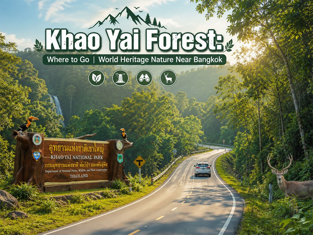
Khao Yai National Park: Where to Go
Khao Yai is one of Thailand's most popular natural attractions and a gateway to ..

10 Kanchanaburi Spots When the Rain Softly Falls
Kanchanaburi when the rain softly falls is a beautiful moment between the end of..
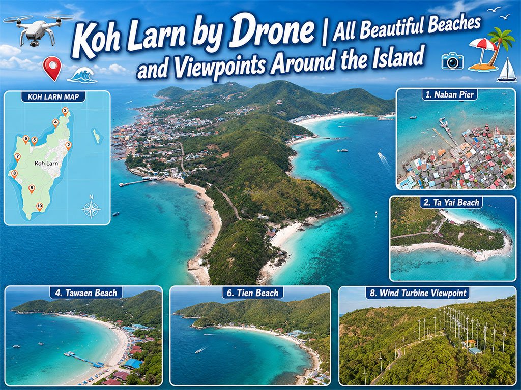
Koh Larn Aerial Views by Drone
Starting from Naban Pier, then looping north to Ta Yai Beach → Th..
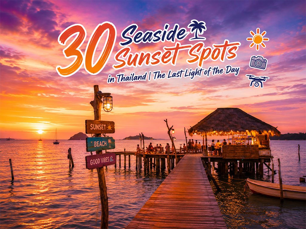
30 Sunset Spots along the Thai Sea
Explore the sunset spots along Thailand’s coast, revealing the beauty of the day..
Recommend trips
- Pilgrimage to the Sacred Sites
- Trip to Bhutan
- 10 Sacred Buddhist Sites Thai Temples in India–Nep
- 30 Sunset Spots along the Thai Sea
- Koh Larn Aerial Views by Drone
- 10 Kanchanaburi Spots When the Rain Softly Falls
- The Four Holy Pilgrimage Sites
- Dream Destinations in Switzerland
- 10 Thai Costume Spots to Go Back in Time
- Must-Visit Check-in Spots in London
- Attractive Beaches in Sattahip, Chonburi
- Khao Yai National Park: Where to Go
- 30 Stunning Viewpoints in Thailand
- Top Paris Check-in Spots
- 10 Paradise Islands for Bikers to Explore
- 5 Selfie-Worthy Hua Hin Check-in Spots for Teens
- 10 Must-Visit Spots Along the Chao Phraya River, B
- The Ultimate Ancient Villages in Japan
- 10 Mountains to Discover on a Rainy Day
- Thailand’s Sandbar Wonders