


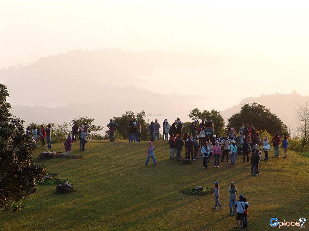
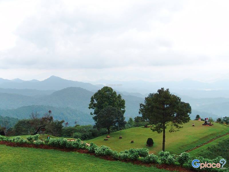

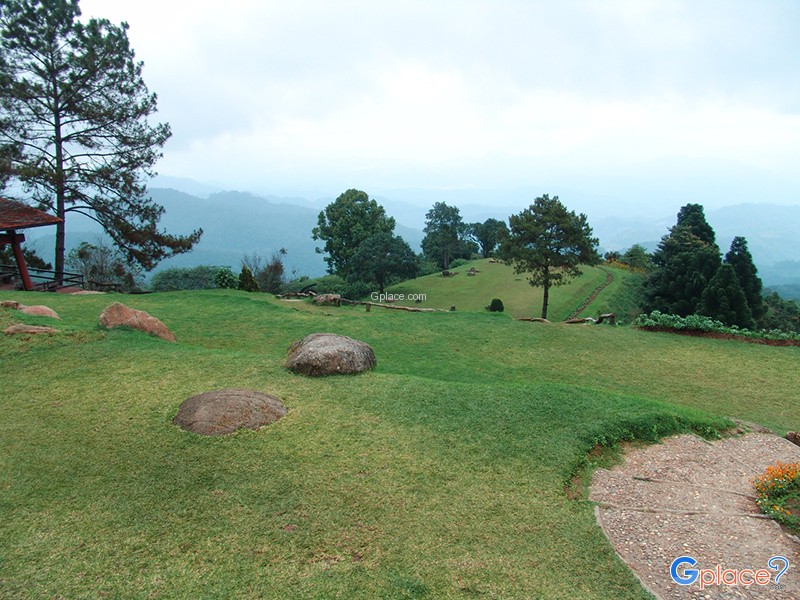
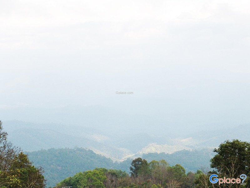
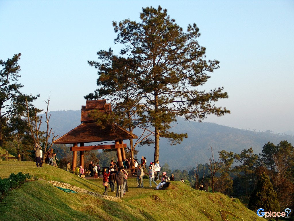
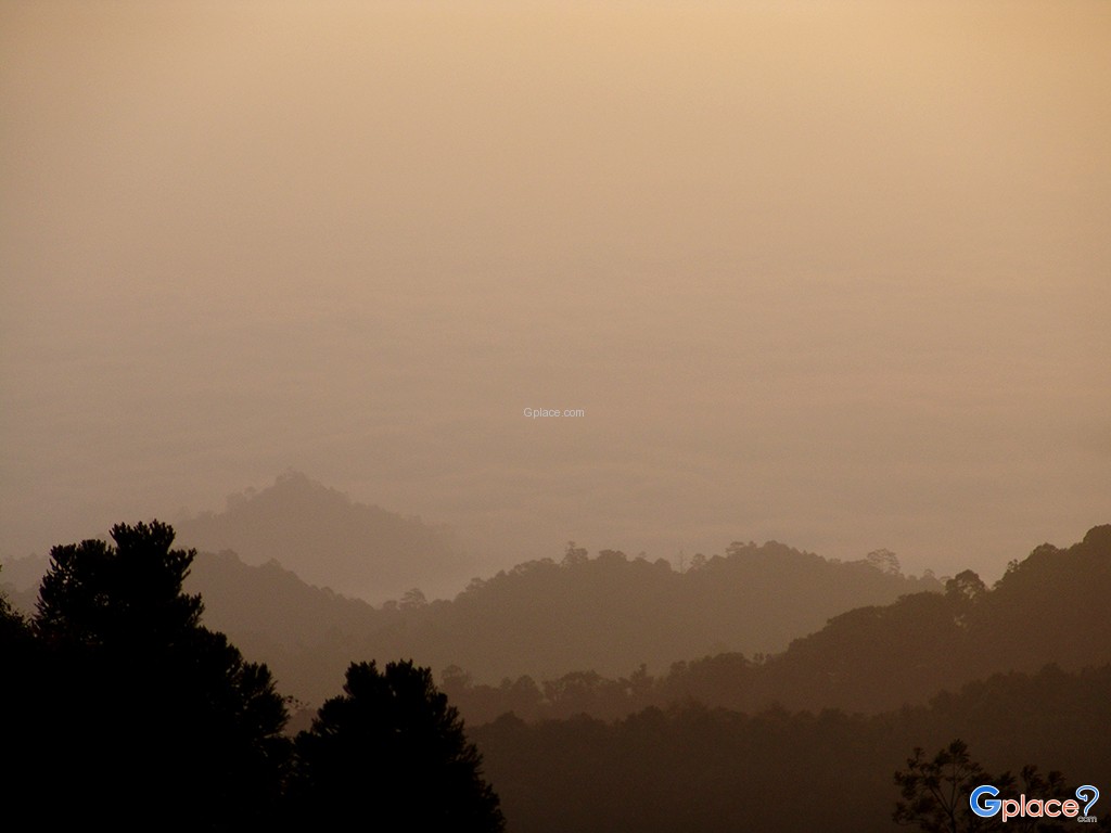
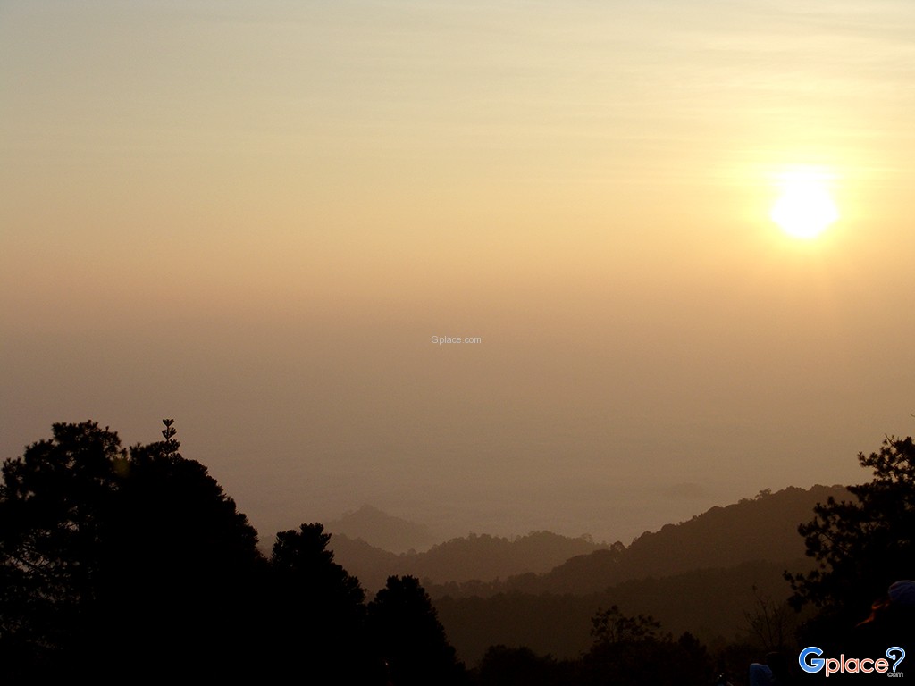

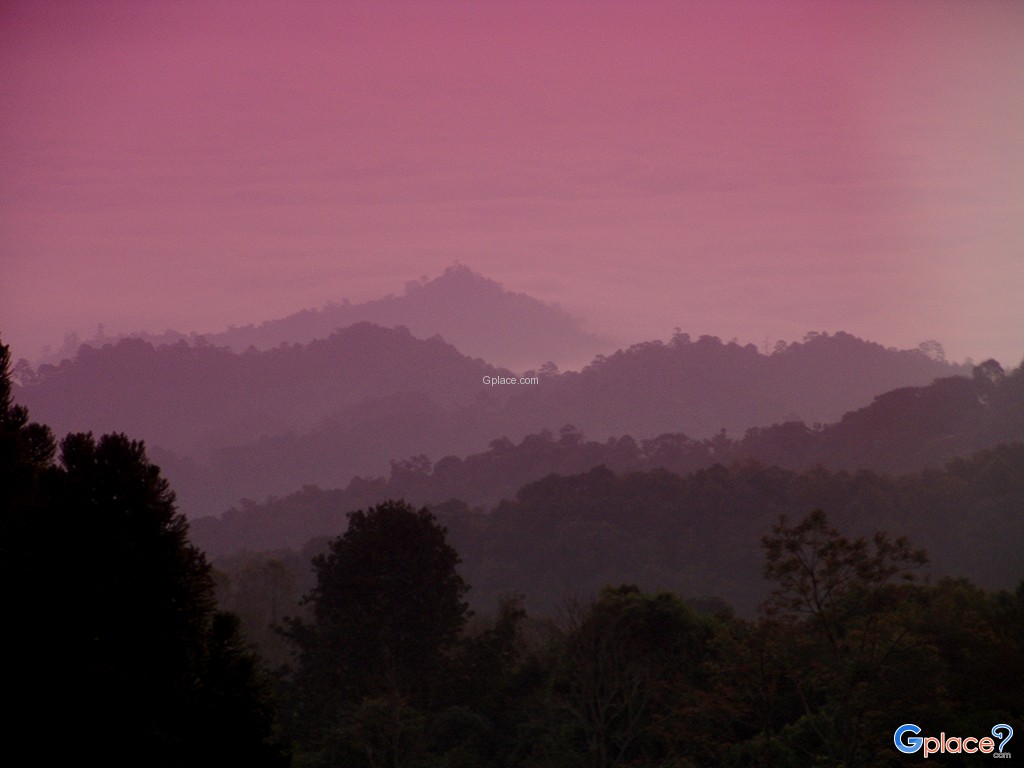
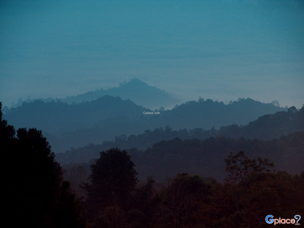
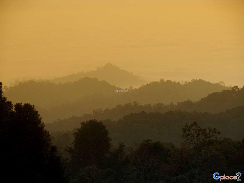
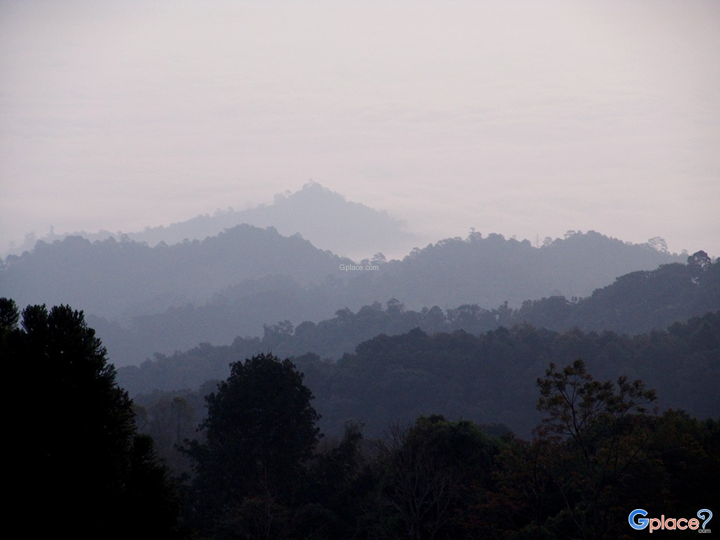
“Be mesmerized by the Sea of Mist over the Valley at the Doi Kiew Lom Viewpoint, where the majestic peak of Doi Luang Chiang Dao stands tall against the sunrise in a truly spectacular display.”
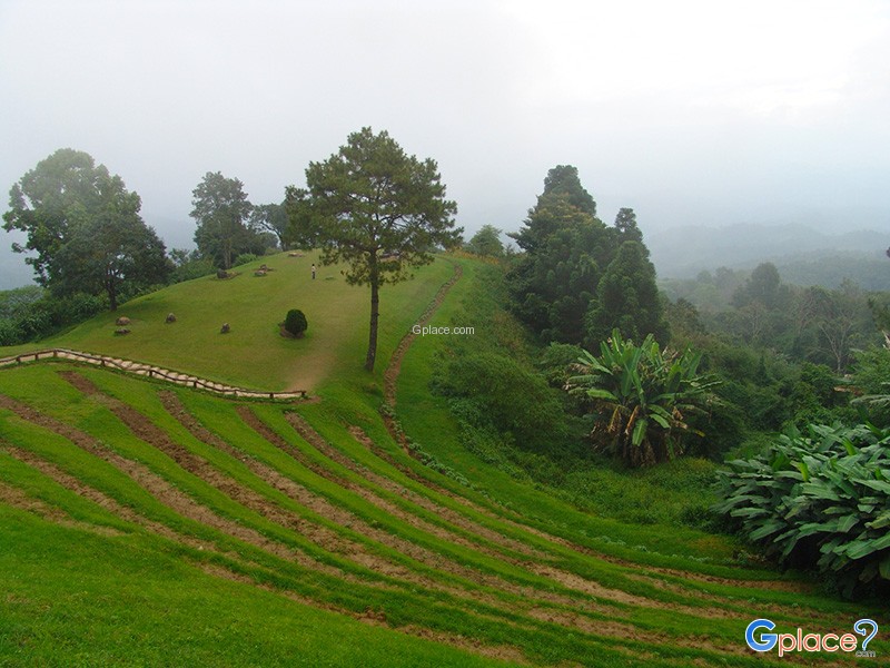
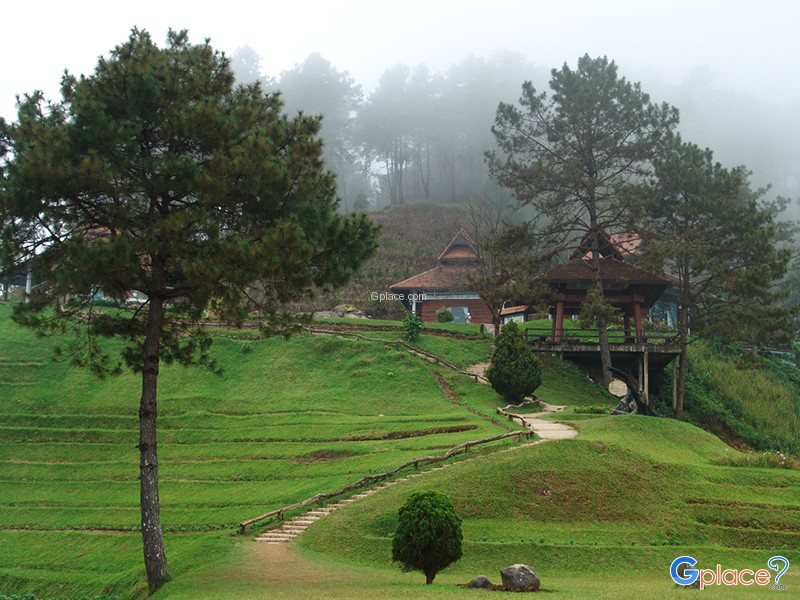
Huai Nam Dang National Park spans across the rugged highlands of Mae Taeng District in Chiang Mai and Pai District in Mae Hong Son, serving as a vital natural corridor in Northern Thailand. Geographically, it is part of the Thanon Thong Chai Range, acting as a crucial headwater source for several major rivers, including the Mae Taeng and Pai Rivers. The geological landscape is characterized by steep, undulating peaks, with Doi Chang reaching the highest point at 1,962 meters above sea level. This elevation ensures a chillingly cold climate year-round and sustains a remarkably fertile hill evergreen forest.
The ecological and natural phenomena of this park are internationally recognized, particularly the Doi Kiew Lom area, where converging wind currents and high humidity create a massive sea of mist that blankets the Pai Valley every morning. From a geological perspective, the park also hosts significant geothermal structures, manifested as "geysers"some of the most powerful and consistent in the region reflecting the intense energy beneath the Northern Thai mountain crust.
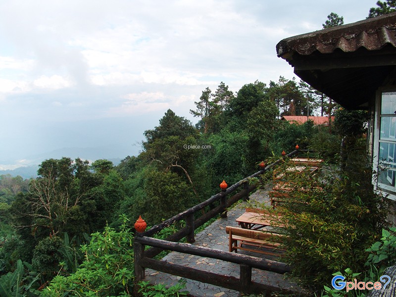
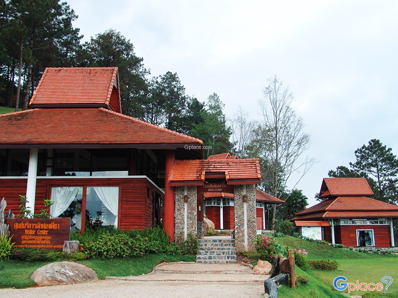
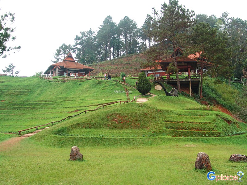
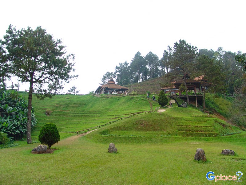
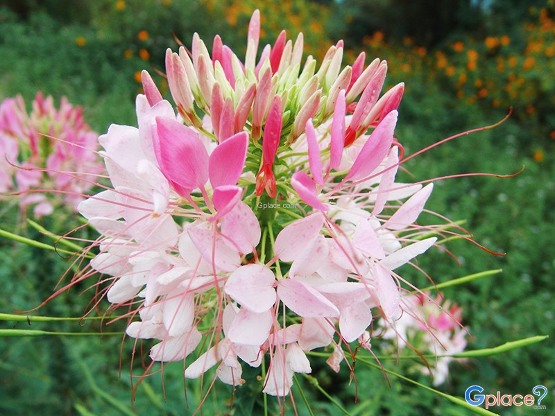
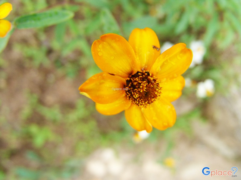
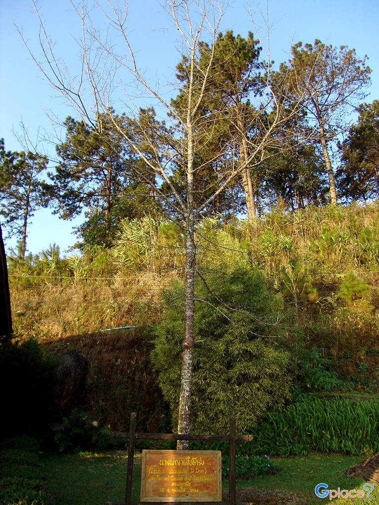
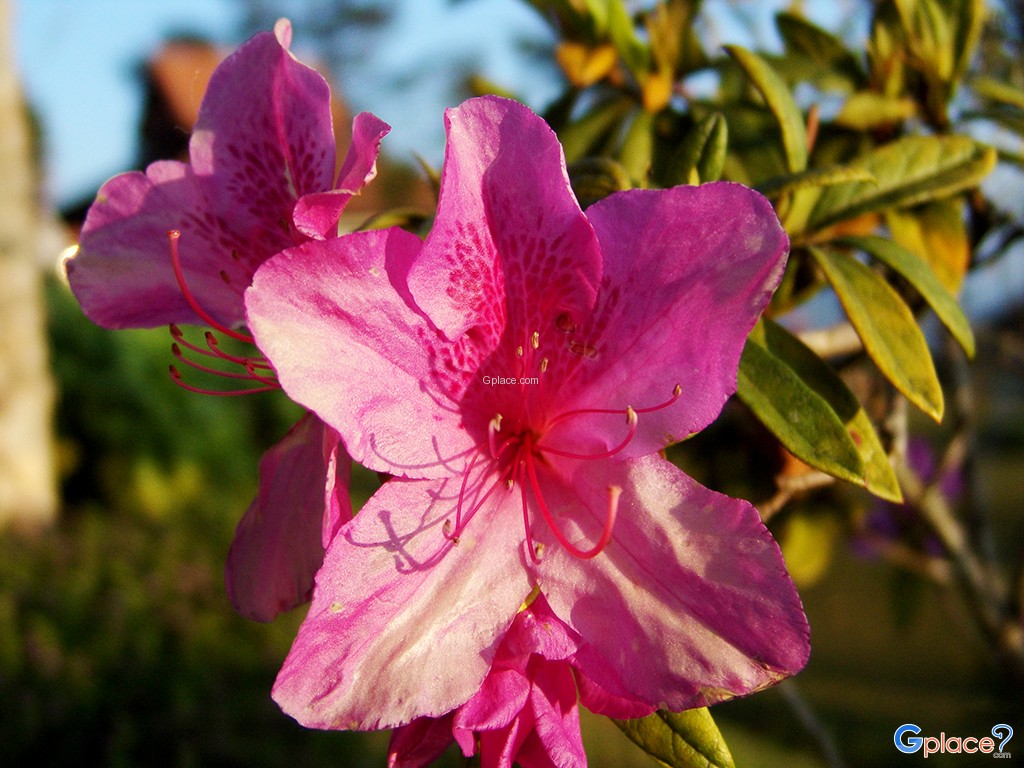
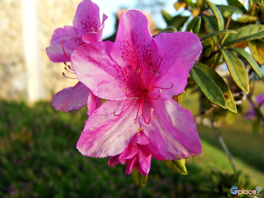
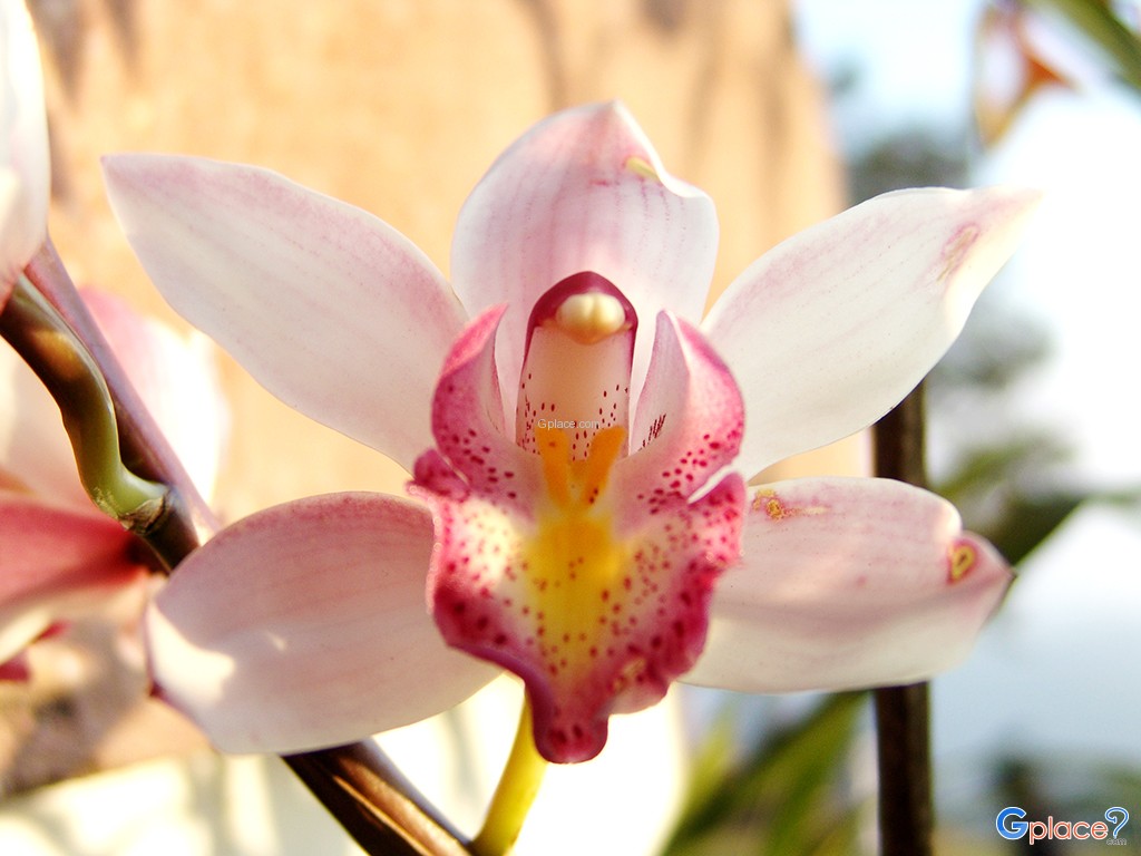
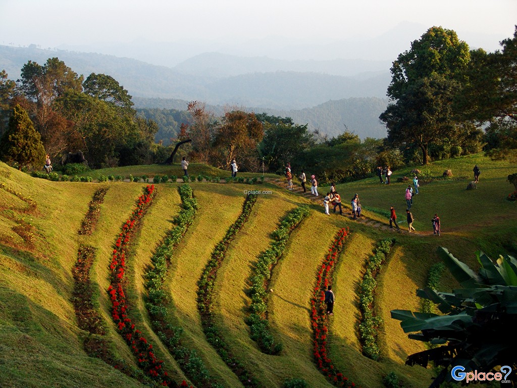
Beyond the mist, the park is a sanctuary for various winter flora and rare wild orchids, notably the vibrant red Rhododendrons and Dendrobium infundibulum (Ueang Ngoen Luang), which bloom early in the year. The area surrounding the park headquarters is meticulously landscaped with ornamental flowers to blend seamlessly with the natural forest. Furthermore, the park features fascinating geological sites such as Pong Dueat Pa Pae, Thailand’s highest-shooting geyser, and the Huai Nam Dang Waterfall hidden within steep valleys, serving as a natural classroom for biodiversity and geothermal energy.
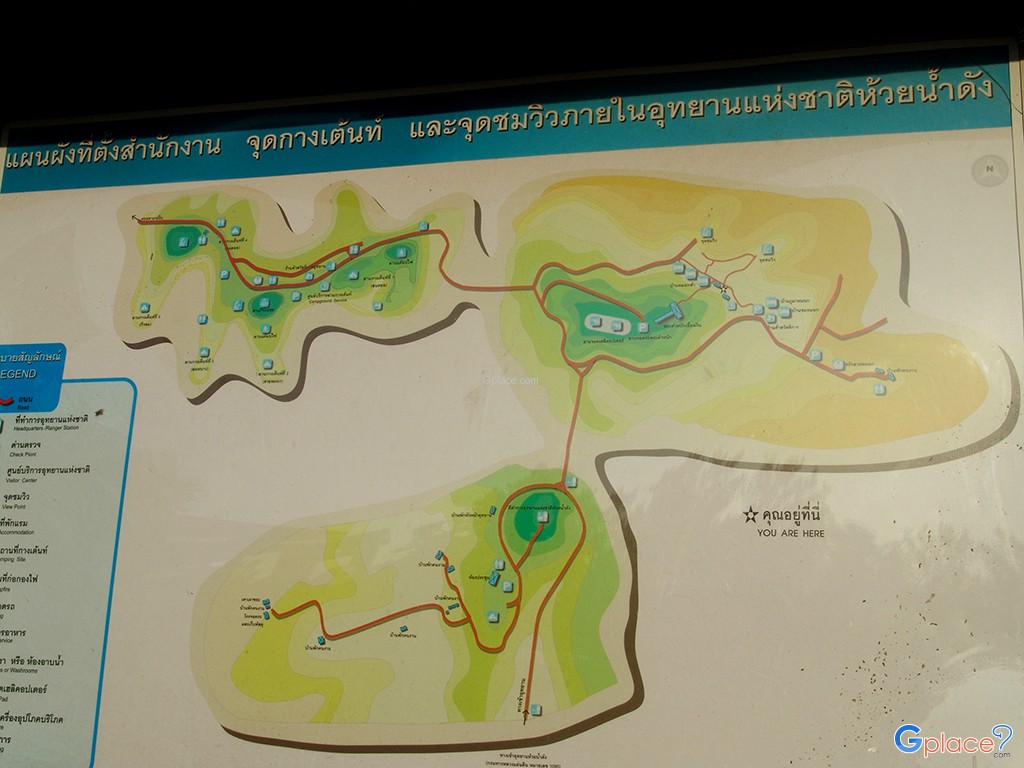
Interesting Attractions within the Park:
-
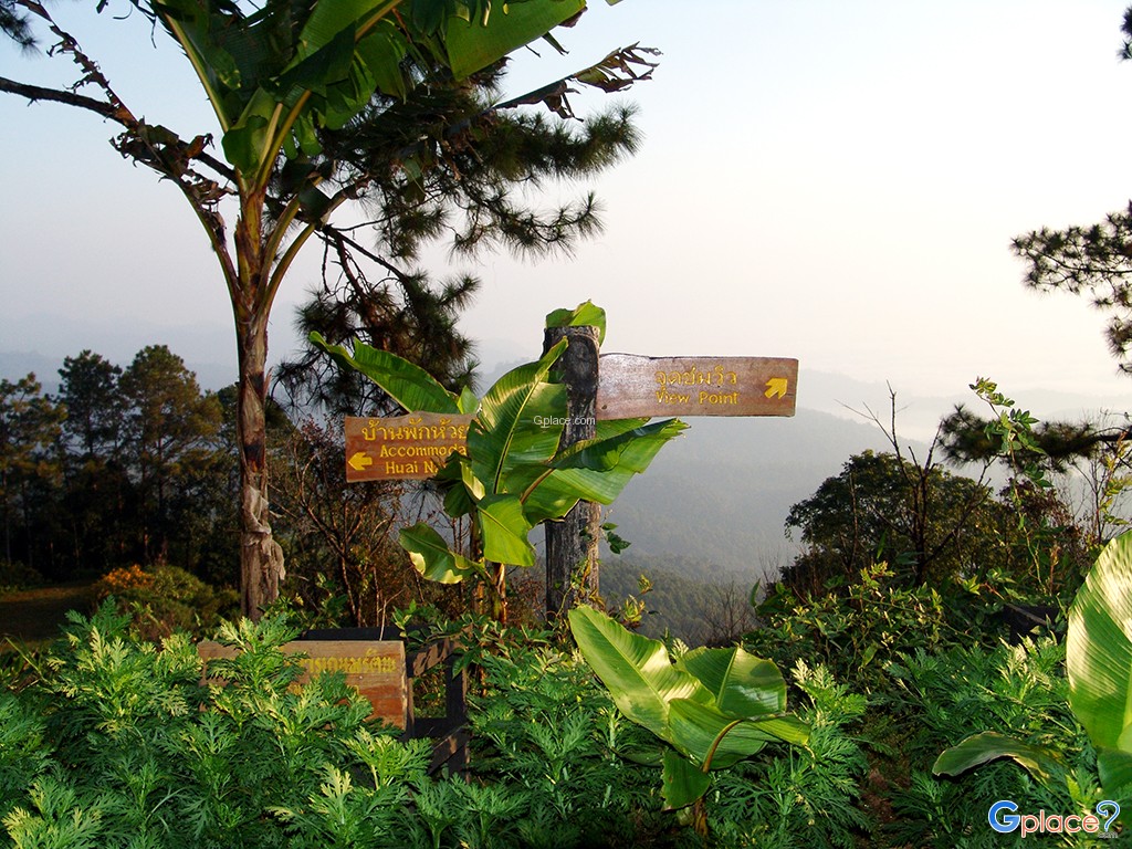
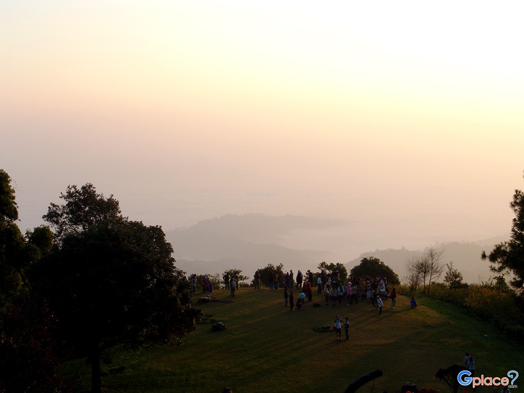
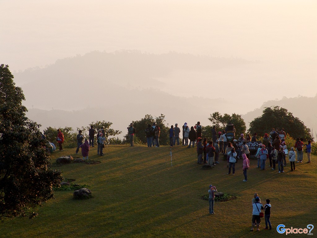
Miraculous Doi Kiew Lom Viewpoint: Known as the most grand sea of mist viewpoint in Thailand, it offers a panoramic vista of Doi Luang Chiang Dao rising above a vast white sea of fog a heavenly sight that travelers worldwide long to witness.
-
Mae Nam Pai Watershed Nature Trail: A biodiversity exploration route that winds through fertile hill evergreen and pine forests. It offers a chance to see rare wild orchids, epiphytes, mountain birds, and wildlife amidst a tranquility unreachable in urban life.
-
Pong Dueat Geyser: Experience the earth's internal energy at the highest-shooting geyser in Thailand, with surface temperatures reaching 90–99°C. It includes mineral bathing for health therapy in the lush atmosphere of a dry evergreen forest.
-
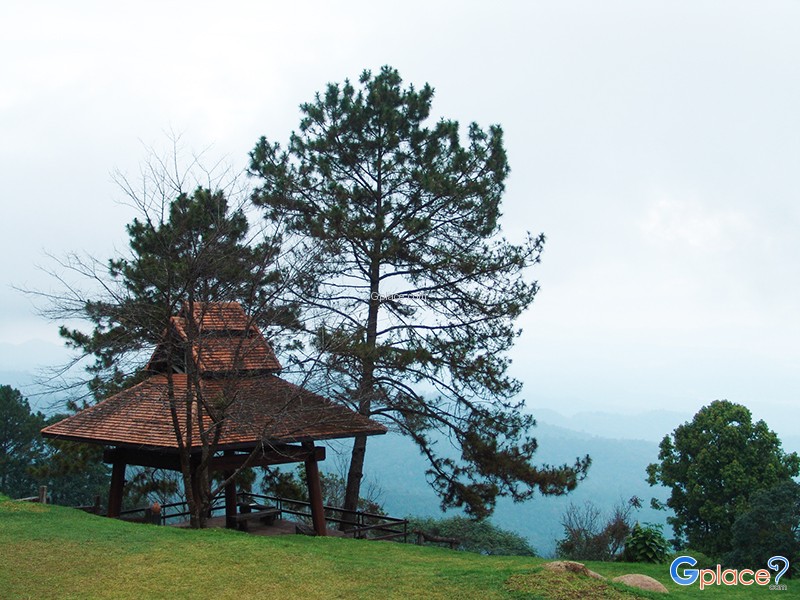
Huai Nam Dang Camping Ground: A campsite situated on a high mountain ridge, allowing visitors to experience freezing temperatures and one of the darkest starlit skies in the north. Under clear conditions, the Milky Way and millions of stars are visible to the naked eye.
-
Winter Flower Garden & Rhododendrons: Enjoy a variety of winter flowers exquisitely arranged along the hillsides. In the early months of the year, the blooming red Rhododendrons transform the park into a stunning "celestial botanical garden" amidst the morning mist.
A visit to Huai Nam Dang is not just about the scenery; it is about touching the greatness of the watershed ecosystem that sustains life in Northern Thailand. Watching the shifting light and mist here serves as a reminder of the precious natural heritage that must be preserved for future generations.
How to Get There
-
Private Car: From Chiang Mai, take Highway 107 (Chiang Mai–Fang) to the Mae Malai junction in Mae Taeng. Turn left onto Highway 1095 (Mae Taeng–Pai) and drive to KM 65. You will see a checkpoint and a right turn leading 6 km further into the park.
-
Public Transport: Take a van or bus (Chiang Mai–Pai route) from Chiang Mai Arcade Bus Terminal. Inform the driver to drop you at the entrance of Huai Nam Dang National Park (KM 65). From there, you must hire a local vehicle or hitch a ride with park officials to the viewpoint.
-
Additional Info: Highway 1095 has over 700 curves and steep inclines. Drivers should check their brakes and exercise extreme caution.
Travel Tips
-
Recommended Period: October to February offers the densest sea of mist and blooming flowers. Himalayan Cherry blossoms can also be seen in January.
-
Viewing the Mist: Arrive at Doi Kiew Lom Viewpoint before 06:00 AM to prepare for the sunrise and watch the morning mist transition.
-
Attire: Bring warm clothing, as temperatures on the peak during winter can drop to 2–5°C with strong winds.
-
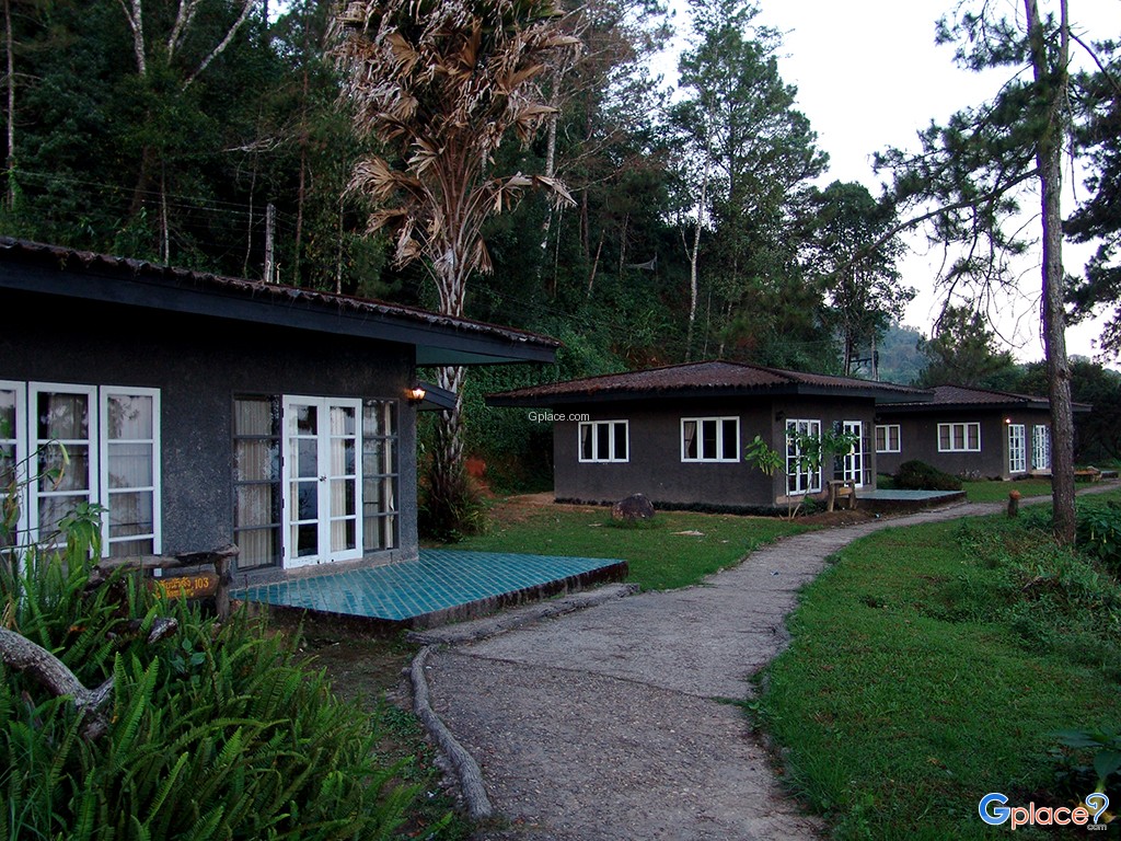
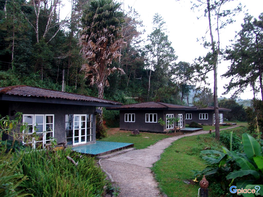
Reservations: For camping or park bungalows, book in advance through the National Park’s online system, especially for weekends.
-
Precautions: Alcohol and foam containers are prohibited. Please maintain silence to avoid disturbing the local wildlife.
Admission Fee:
-
Thai Citizens: Adult 50 THB, Child 20 THB
-
Foreign Visitors: Adult 300 THB, Child 150 THB
Opening Hours:
-
Daily: 08:00 – 18:00 (The checkpoint opens at 04:00 AM for sunrise visitors).
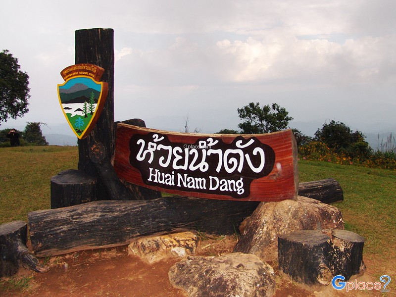
Huai Nam Dang National Park
![]() Kuet Chang Subdistrict, Mae Taeng District, Chiang Mai
Map
Kuet Chang Subdistrict, Mae Taeng District, Chiang Mai
Map
![]() Closed today
Closed today![]()
Mon8.00 - 18.00
Tue8.00 - 18.00
Wed8.00 - 18.00
Thu8.00 - 18.00
Fri8.00 - 18.00
Sat8.00 - 18.00
Sun8.00 - 18.00
![]()
 13150
13150
Recommend trips
- 20 Must-Visit Places in Chiang Mai
- สุดขอบชายแดนจังหวัดเชียงใหม่
- เชียงใหม่ ตากล้องต้องชอบ
- เชียงใหม่ สุดยอดที่เที่ยวประจำอำเภอ
- สถานที่นอนดูดาว แสนโรแมนติก
- ที่เที่ยวหน้าหนาว ยอดฮิตทั่วไทย
- 10 จุดเช็คอิน เมื่อมาปาย
- ป่าเขา ธรรมชาติไกลสุดหล้า ต้องไปให้ได้
- เชียงใหม่ ต้องเที่ยว
- 6 สุดยอด อุทยานแห่งชาติ เชียงใหม่
- 8 ขุนเขาเชียงใหม่น่าเที่ยว
- เชียงใหม่ในดวงใจ สถานที่ท่องเที่ยว
- ที่เที่ยวหน้าหนาวภาคเหนือ แบบจัดเต็ม
- 20 จุดชมวิว เชียงใหม่
- ปายเลยไป
- 10 จุดชมวิว ทะเลหมอก หน้าฝน
- 10 สถานที่เชียงใหม่ สุดแสนโรแมนติก
- สุดยอดดอย เชียงใหม่ ที่คุณไม่ควรพลาด
- สุดยอดอุทยานแห่งชาติ เชียงใหม่
- 14 จุดสุดแสนโรแมนติค เชียงใหม่รับลมหนาว
- เที่ยวตามทางหลวง1095-เชียงใหม่-ปาย
- ที่เที่ยวเชียงใหม่ ต้องเช็คอินให้ได้
- Top 10 Winter Viewpoints for Stunning Photos
- จุดชมทะเลหมอกสวย ทั่วไทย
- ชมอุทยานฯ น่าเที่ยว ทั่วประเทศ
- DAY1 Chiang Mai - Pai - Mae Hong Son