10 จุดชมวิว ทะเลหมอก หน้าฝน
 12533
12533
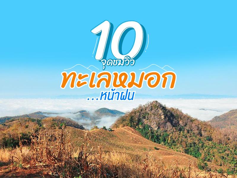 รวบรวม จุดชมวิว ทะเลหมอก ในช่วงหน้าฝนมาให้ ได้ไปจับจองในช่วงอากาศกำลังดี คนไม่เยอะ ถ่ายรูปก้อนหมอกหนานุ่ม กับคนที่รู้ใจ


Phra Maha That Naphamethanidon and Phra Maha That Naphaphonphumisiri are sacred monuments built by the Royal Thai Air Force in collaboration with the Thai people. They were established as a royal merit-making tribute to King Bhumibol Adulyadej the Great (Rama IX) and Queen Sirikit, the Queen Mother, on the auspicious occasion of their respective 60th birthdays (5th cycle). Situated near the&n...
read more


Ayerweng Sea of Mist (Ayerweng Sea of Mist) is located on a high mountain area in Betong District at an elevation of approximately 2,038 feet above sea level within the Hala-Bala rainforest, one of the most biodiverse and important tropical rainforest ecosystems in southern Thailand. The landscape is characterized by complex mountain ranges and deep valleys, which create ideal conditions for dense...
read more
3
Khao Kho


Khao Kho is the definition of a vacation paradise in the lower northern region, earned the nickname Switzerland of Thailand. The name "Khao Kho" is derived from the Kho tree (Livistona speciosa), a palm species with fan-like leaves that grew abundantly in this area in the past. Beyond its atmosphere, the area holds significant history as a battlefield between the government and the Commu...
read more

Phu Thap Boek is the highest mountain peak in Phetchabun Province and one of Thailand’s most popular destinations for nature lovers, photographers, and camping enthusiasts. Standing at approximately 1,768 meters above sea level, the mountain offers refreshing cool weather throughout the year. During winter, temperatures can drop to single digits, and frost can occasionally appear on the moun...
read more

Doi Hua Mot is a moderately low limestone mountain stretching across several connected ridgelines. Located in Umphang District, it is a popular scenic spot often included in travel routes that pair with a visit to Thi Lo Su Waterfall. The mountain’s signature charm lies in its bald-mountain terrain, where no large trees grow, leaving the slopes covered by short grasses, shrubs, and naturally...
read more

Dok Kra Jiao Blooming Field, Pa Hin Ngam National Park is located on the Phang Hoei Mountains in Chaiyaphum Province, a popular rainy season tourist destination in Thailand. Especially from June to August every year, when the Dipterocarp forest is adorned with the pinkish-purple hues of “Dok Kra Jiao”, also called Siam Tulip, in full bloom.
The wonder of Dok Kra Jiao lies in its g...
read more

Doi Phu Kha National Park is the source of numerous streams and holds an ancient history tied to the legends of Nan’s people. Situated at an altitude of 1,980 meters above sea level, it covers an area of approximately 1,050,000 rai, spanning Pua, Chiang Klang, Thung Chang, Mae Charim, Tha Wang Pha, Santi Suk, and Bo Kluea Districts.
The terrain consists of steep, rugged mountains with stunni...
read more


Doi Samer Dao and Pha Hua Sing are iconic destinations in Nan province, known for their panoramic mountain scenery and enchanting morning sea of mist. This spot attracts countless nature lovers who wish to immerse themselves in the serene beauty of northern Thailand.
What makes this site truly special is its spectacular sunrise and sunset viewpoints. Visitors often camp overnight to witness the sh...
read more

Phu Hin Rong Kla National Park is a unique travel spot unlike anywhere else in Thailand. It doesn’t just have green forests, but it is also a land full of historical stories and strange-looking geological features. This area is located on the border of three provinces: Phitsanulok, Phetchabun, and Loei. This makes the weather cold almost all year, especially in winter when the temperature ca...
read more


Huai Nam Dang National Park spans across the rugged highlands of Mae Taeng District in Chiang Mai and Pai District in Mae Hong Son, serving as a vital natural corridor in Northern Thailand. Geographically, it is part of the Thanon Thong Chai Range, acting as a crucial headwater source for several major rivers, including the Mae Taeng and Pai Rivers. The geological landscape is characterized by ste...
read more
กำลังเป็นที่นิยม
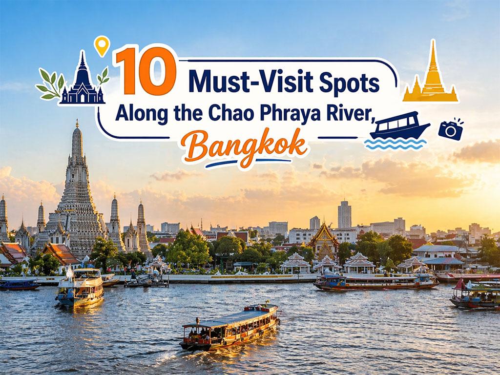
10 Must-Visit Spots Along the Chao Phraya River, B
Exploring the Chao Phraya River offers one of the most complete experiences of B..

8 World Heritage Sites of Thailand
Tracing Ancient Civilizations and Invaluable Forests Recognized by UNESCO Thaila..
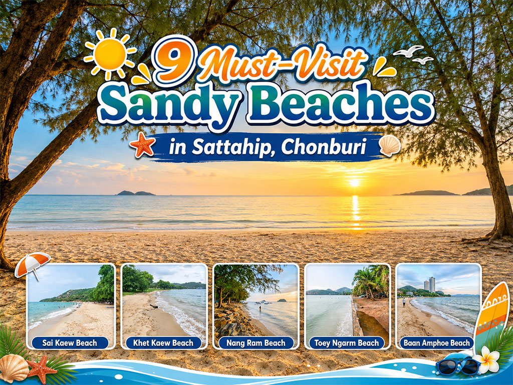
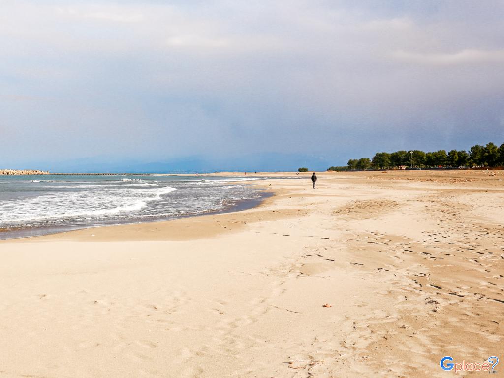
Attractive Beaches in Sattahip, Chonburi
For those looking to escape the hustle and bustle of Pattaya and experience calm..

10 Thai Costume Spots to Go Back in Time
Wearing traditional Thai costume and taking photos at beautiful places is more t..
Recommend trips
- 10 Thai Costume Spots to Go Back in Time
- Pilgrimage to the Sacred Sites
- Trip to Bhutan
- 10 Sacred Buddhist Sites Thai Temples in India–Nep
- The Four Holy Pilgrimage Sites
- Dream Destinations in Switzerland
- Top Paris Check-in Spots
- Must-Visit Check-in Spots in London
- Attractive Beaches in Sattahip, Chonburi
- 10 Must-Visit Spots Along the Chao Phraya River, B
- 8 World Heritage Sites of Thailand
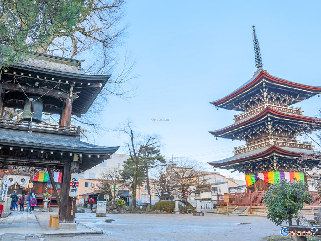
- The Ultimate Ancient Villages in Japan
- 10 Must-Visit Places in Waterford
- Watsons Bay Half-Day Trip
- 10 Best Shopping Destinations in Bangkok
- 10 Must-Visit Spots in Koh Yao
- EBC - World-Class Trekking Route
- 10 Must-Visit Check-ins in Uthai Thani
- Giant Buddha Landmarks in Thailand
- Thailand Nature Trails