


Chiang Mai's Ultimate National Parks
 6291
6291

Chiang Mai is not just about temples and Lanna culture; it also boasts vast forests, high mountains, waterfalls, reservoirs, and conservation areas with distinct landscapes. Tourists can choose to watch the sunrise over a sea of mist, go nature studies, stay overnight in cool weather, take a scenic boat trip, or trek to nationally renowned mountain peaks.
Each location has unique characteristics and travel styles. Some are close to the city, suitable for day trips, while others are in remote mountainous areas, requiring overnight stays, vehicles suitable for the terrain, or advance booking for treks. Choosing a place that matches the season, duration, and traveler's readiness will help ensure a full and safe experience of Chiang Mai's nature.
Travel Details
All national parks and natural attractions are spread across different directions in Chiang Mai. It's not ideal to visit all of them on a short trip. Plans should be divided based on the area and available time.
- Areas near the city: Doi Suthep-Pui National Park is suitable for half-day or full-day trips from Chiang Mai city.
- Southern and Southwestern Areas: Doi Inthanon National Park, Ob Luang National Park and Ob Khan National Park should be planned separately according to their routes, as each is in a different direction and requires varying travel times.
- Mae Taeng and Northern Areas: Si Lanna National Park, Doi Luang Chiang Dao, Huai Nam Dang National Park and Doi Pha Hom Pok National Park are suitable for multi-day trips, with options to stay in Mae Taeng, Chiang Dao, Fang, or near the national parks.
- Private car or rental car: This is the most convenient method, as most locations are far from the city and public transport does not reach all of them.
- Mountain routes: You should check the brakes, tires, fuel, and road conditions before traveling, especially on routes leading up to the mountains and to camping areas.
Best Time to Visit
Winter: November–February
This is the best period for viewing the sea of mist, sunrises, hiking, and experiencing cold weather in high-altitude areas. However, as it is the main tourist season, it's advisable to book accommodation, camping spots, and activities requiring registration in advance.
Rainy Season: June–October
Ideal for seeing lush green forests, waterfalls, and reservoirs with a refreshing atmosphere. However, be wary of heavy rain, flash floods, slippery trails, and temporary closures of some nature trails.
Summer: March–May
Mountain top areas are still cooler than the lowlands, but it's advisable to check for smog, wildfires, air quality, and area closure announcements before traveling.
Additional Information
- Check for announcements regarding the opening and closing of national parks, viewpoints, waterfalls, and hiking trails before departure.
- Some locations require registration, advance booking, or travel with park rangers and guides.
- Prepare warm clothes, raincoats, suitable footwear for the trails, and personal medication.
- For boat trips or raft stays in Mae Ngat Dam, use licensed operators and wear life jackets.
- Avoid swimming during heavy rain, when water is murky, or when water levels are high.
- Use a vehicle that is in good condition for mountain routes and ensure you have sufficient fuel.
- Do not collect plants, rocks, or natural resources from the area.
- Take your trash back out and strictly follow official instructions.
Conclusion
Chiang Mai's ultimate national parks and natural attractions are distinctly diverse, ranging from Doi Inthanon, Thailand's highest peak, the limestone mountains of Doi Luang Chiang Dao, the Huai Nam Dang Sea of Mist, Doi Pha Hom Pok summit, the waters and forests of Si Lanna, to the Ob Luang Gorge and Ob Khan canyon.
Each location is suitable for different travel styles, including day trips from the city, overnight stays on mountain peaks, scenic boat rides on reservoirs, and eco-trekking. Planning according to the season, distance, and physical readiness will ensure a safe journey and allow for a full experience of the mountain peaks, waterfalls, sea of mist, and Lanna nature.


กำลังเป็นที่นิยม

This route comprehensively gathers Nan's important historical, religious, artist..

Chiang Mai is not just about temples and Lanna culture; it also boasts vast fore..
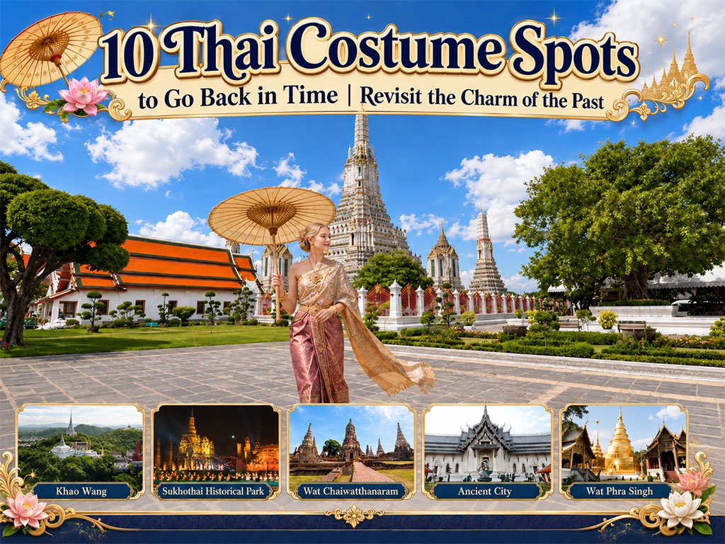
Wearing traditional Thai costume and taking photos at beautiful places is more t..

Doi Inthanon is the highest mountain in Thailand, located within Doi Inthanon Na..
Recommend trips
- The Four Holy Pilgrimage Sites
- 10 Must-Visit Checkpoints in Nan
- Dream Destinations in Switzerland
- 10 Thai Costume Spots to Go Back in Time
- 12 Tourist Attractions Doi Inthanon
- Pilgrimage to the Sacred Sites
- Trip to Bhutan
- 10 Sacred Buddhist Sites Thai Temples in India–Nep
- Top Paris Check-in Spots
- Must-Visit Check-in Spots in London
- 10 Must-Visit Spots Along the Chao Phraya River, B
- 8 World Heritage Sites of Thailand
- Chiang Mai's Ultimate National Parks
- The Ultimate Ancient Villages in Japan
- Watsons Bay Half-Day Trip
- 10 Must-Visit Places in Waterford
- 10 Best Shopping Destinations in Bangkok
- EBC - World-Class Trekking Route
- 10 Must-Visit Check-ins in Uthai Thani
- Giant Buddha Landmarks in Thailand