
 Attractions
  Hotel
Hotel  Restaurant
  Shopping
  Abroad
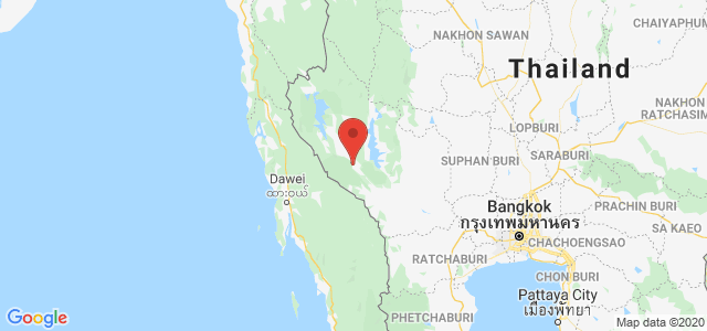
  Nearby Places





ที่เที่ยวน่าแวะเซลฟี่ กาญจนบุรี

 2165
2165
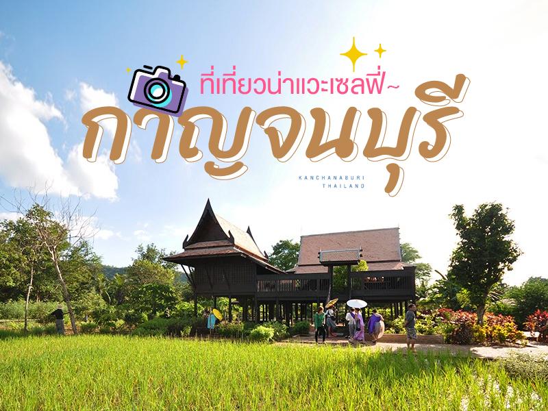 กาญจนบุรีนั้นเป็นจังหวัดที่โด่งดังเรื่องการท่องเที่ยวทางธรรมชาติ ถ้าพูดถึงการเที่ยวเขื่อน ล่องแพ ยังไงๆก็ต้องนึกถึง กาญจนบุรี แต่.... นอกจากเที่ยวแพ แล้วเมืองกาญฯ ยังมีที่เที่ยวน่าสนใจให้ต้องไปเซลฟี่ เก็บความทรงจำกันอีกมากมาย จะมีที่ไหนบ้างไปดูกัน
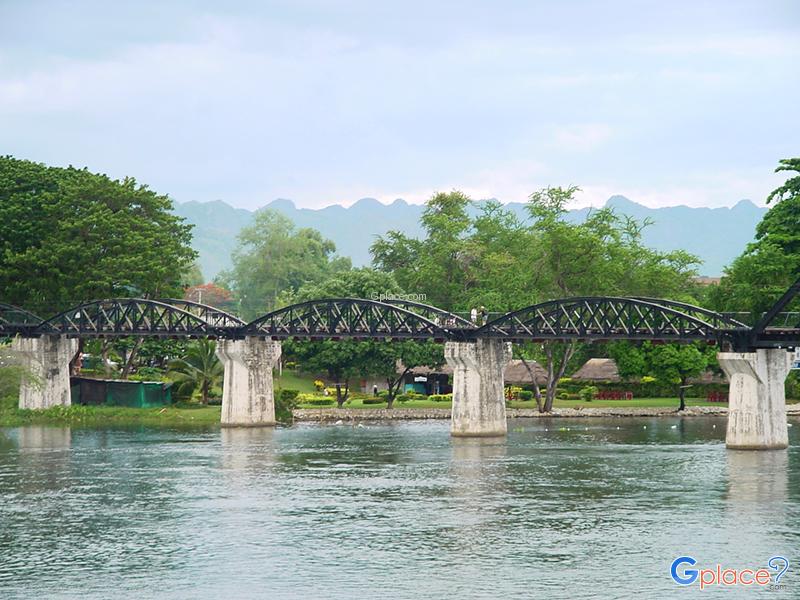
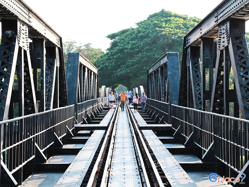
River Kwai Bridge, located in Kanchanaburi Province, is one of Thailand’s most renowned historical landmarks. It was constructed in 1943 as part of the strategic railway line built by the Japanese army to connect Thailand with Burma (now Myanmar) during World War II. The bridge was built using the forced labor of Allied prisoners of war — including British, American, Australian, and Du...
read more
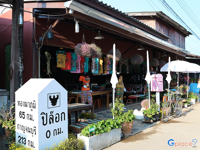
Ban I-Tong (Baan Etong / Ban I-Tong) is a small border village located in Pilok Subdistrict, Thong Pha Phum District, Kanchanaburi Province, along the Tenasserim Mountain Range near the Myanmar border. Surrounded by lush mountains and dense forests, the village enjoys cool weather throughout the year. During the rainy and winter seasons, thick mist often blankets the entire village, giving rise to...
read more
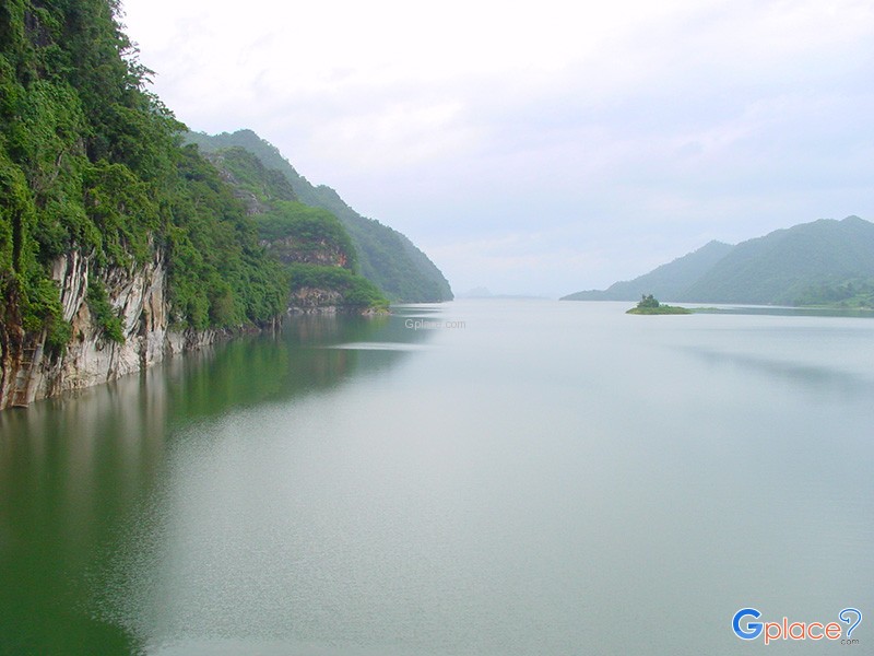

Vajiralongkorn Dam, also known by its former name "Khao Laem Dam," is a large multipurpose dam located on the Khwae Noi River in Thong Pha Phum District, Kanchanaburi Province. It was constructed by the Electricity Generating Authority of Thailand (EGAT), beginning in 1979 and completed in 1984, before officially opening for operation in the mid-1980s-1990s. The dam plays a crucial role in hydroel...
read more
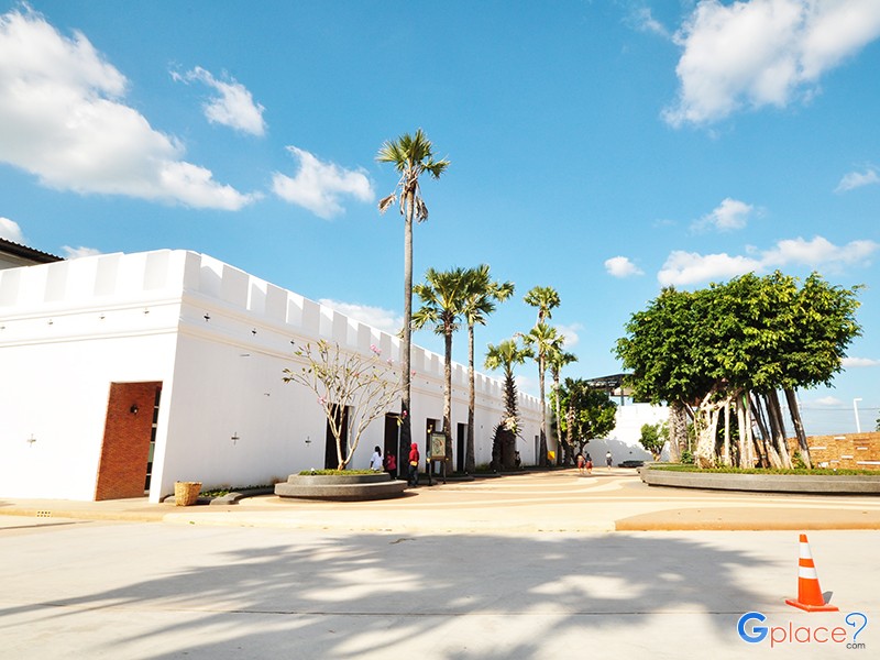
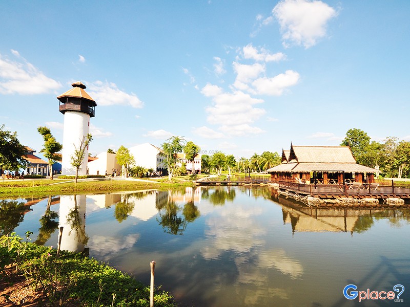
Mallika R.E. 124 is a large-scale cultural tourist attraction in Kanchanaburi province, built to showcase the lifestyle of Siamese people during the late reign of King Rama V, corresponding to the year 124 of the Rattanakosin Era (approximately 1905 AD). This was a significant period of social change in Thailand following the abolition of slavery and the beginning of Western modernization. The cit...
read more
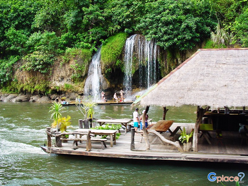

Sai Yok Yai Waterfall is one of the most famous waterfalls in Kanchanaburi Province and a major symbol of Sai Yok National Park. What sets it apart from other waterfalls is that the water cascades directly from a limestone cliff into the Khwae Noi River, creating a beautiful and rare natural spectacle in Thailand. The surrounding area is rich in mixed deciduous forests, bamboo groves, and limeston...
read more

Sai Yok Noi Waterfall, formerly known as "Khao Phang Waterfall," is one of the most famous waterfalls in Kanchanaburi Province and a major tourist attraction on the route to Sai Yok, Thong Pha Phum, and Sangkhla Buri districts. Located within Sai Yok National Park, adjacent to Highway 323, it's one of the most easily accessible waterfalls in western Thailand, unlike many others that require long h...
read more
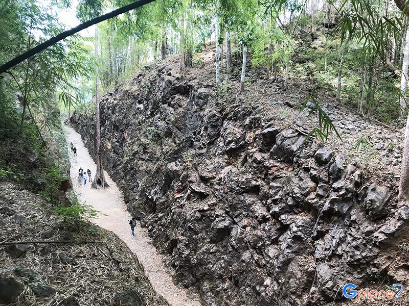
Khao Chong Khad is one of the most significant sites on the Thai-Burma Railway, also known as the "Death Railway," built by the Japanese Imperial Army during World War II (1942-1943). It served as a strategic route for transporting troops, weapons, and supplies from Thailand to Burma, bypassing heavily bombarded Allied sea routes. The railway, approximately 415 kilometers long, traversed mountains...
read more

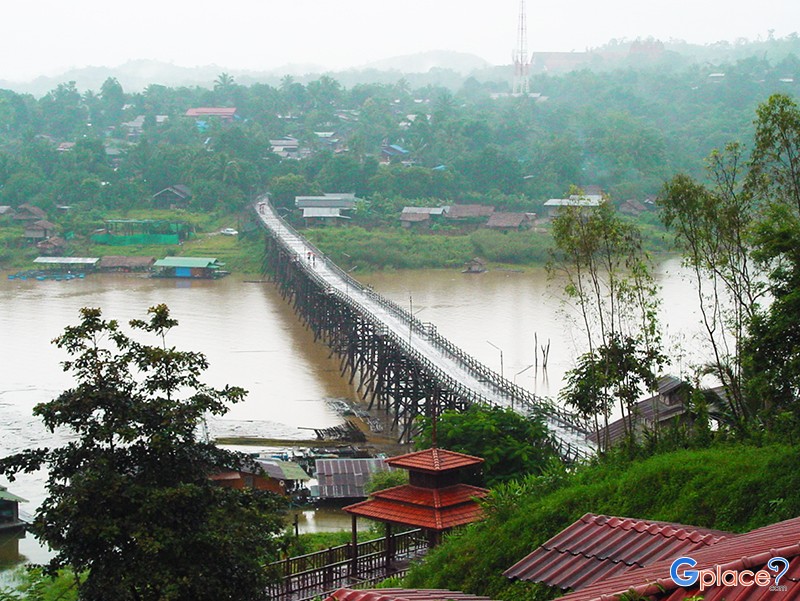
Sangkhlaburi is a border district in western Kanchanaburi Province, located near the Thailand–Myanmar border. The area features complex mountain ranges and lush evergreen forests, making it one of the more naturally rich and less urbanized destinations compared to other parts of central Thailand.The heart of Sangkhlaburi lies at the confluence of three rivers—the Songkalia, Ranti, and ...
read more
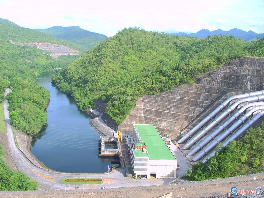
Srinakarin Dam is a large multi-purpose dam built to block the Khwae Noi River in Tha Kradan Subdistrict, Si Sawat District, Kanchanaburi Province. Originally named "Chao Noen Dam," it was later renamed "Srinakarin Dam" in honor of Her Majesty Queen Sri Savangavadhana. This dam is a key project under Thailand's Mae Klong River Basin Development Plan, with primary objectives of hydroelectric power ...
read more

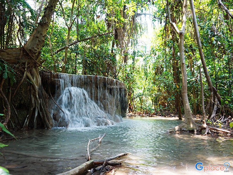
Erawan National Park, located in Si Sawat District, Kanchanaburi Province, is the 12th national park in Thailand. Established in 1975, it covers an area of over 340 square kilometers. The park comprises mixed deciduous forest, dry dipterocarp forest, and dry evergreen forest, all of which remain highly abundant. It is the source of numerous streams and a vital ecosystem in the western region of ...
read more
กำลังเป็นที่นิยม

30 Sunset Spots along the Thai Sea
Explore the sunset spots along Thailand’s coast, revealing the beauty of the day..

Lotus Viewing Spots Across Thailand
Thailand boasts beautiful lotus viewing spots scattered across several regions, ..

Khao Yai National Park: Where to Go
Khao Yai is one of Thailand's most popular natural attractions and a gateway to ..
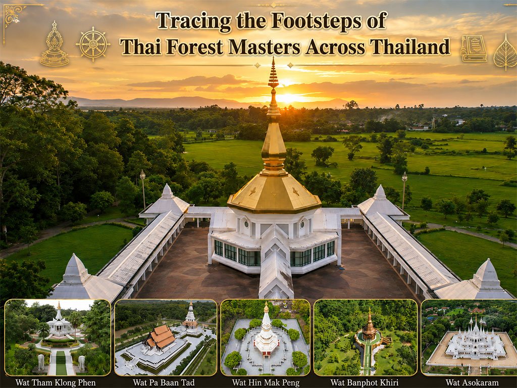
Tracing the Footsteps of Thai Forest Masters Acros
Tracing the Footsteps of Thai Forest Masters Across Thailand 1. Wat Pa Bhu..
Recommend trips
- 30 Sunset Spots along the Thai Sea
- Tracing the Footsteps of Thai Forest Masters Acros
- The Four Holy Pilgrimage Sites
- Dream Destinations in Switzerland
- Lotus Viewing Spots Across Thailand
- Pilgrimage to the Sacred Sites
- Trip to Bhutan
- 10 Sacred Buddhist Sites Thai Temples in India–Nep
- 7 Beautiful Islands Around Phuket
- Khao Yai National Park: Where to Go
- 30 Stunning Viewpoints in Thailand
- Top Paris Check-in Spots
- Must-Visit Check-in Spots in London
- 10 Must-Visit Spots Along the Chao Phraya River, B
- The Ultimate Ancient Villages in Japan
- 10 Mountains to Discover on a Rainy Day
- Thailand’s Sandbar Wonders
- Natural Community Markets A Unique Vibe
- 10 Paradise Islands for Bikers to Explore
- 10 Best Shopping Destinations in Bangkok