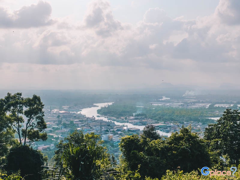
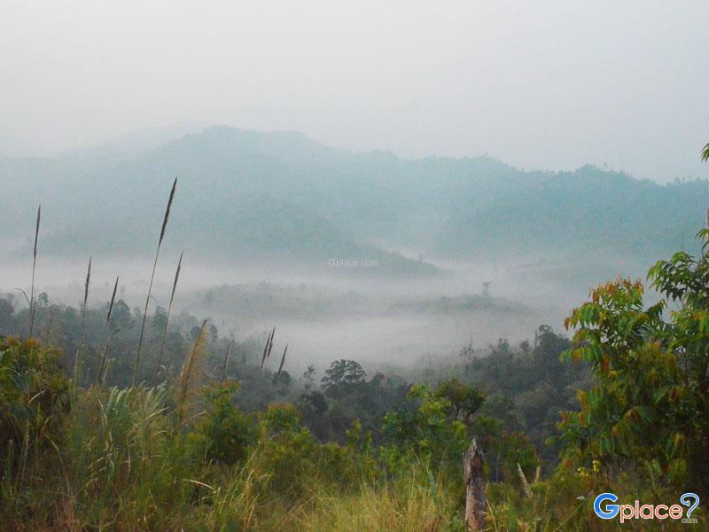
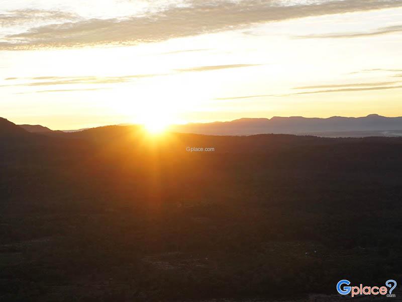
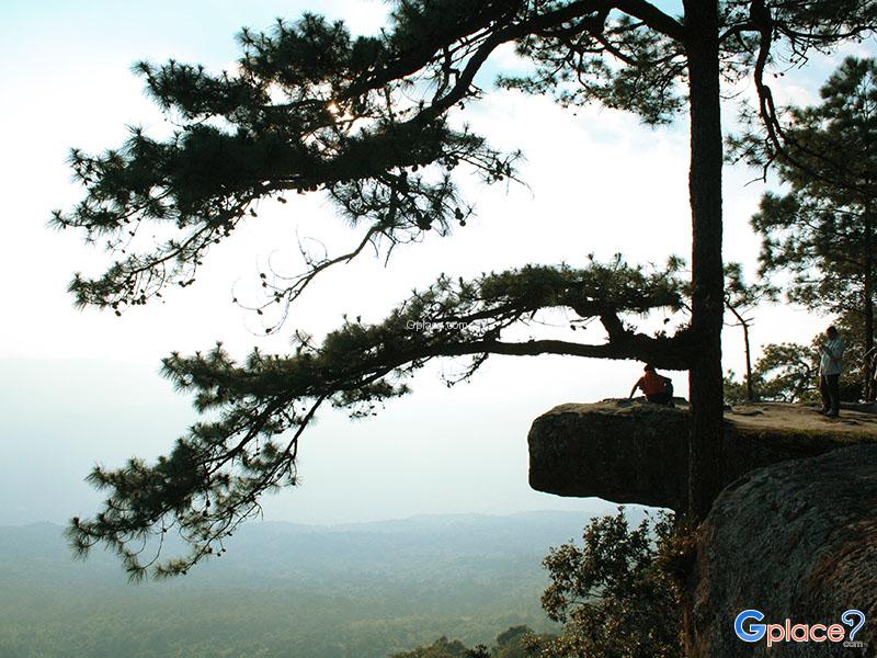
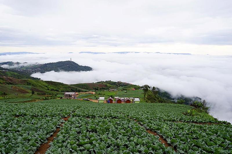
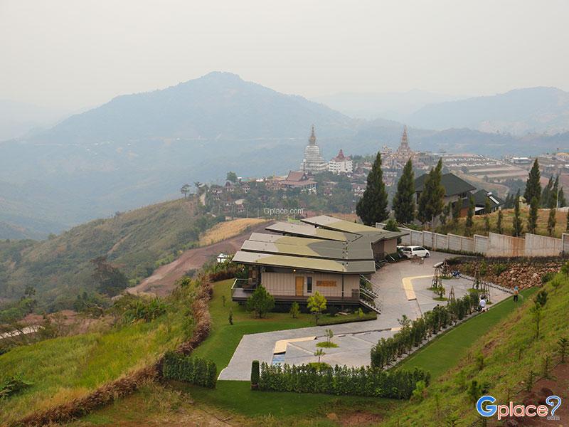
Thailand is brimming with gorgeous viewpoints, ranging from sea mists atop mountain peaks to azure seascapes, cliff sides, and city views from above. Each location offers a unique charm that beckons travelers to return, as sometimes the 'most beautiful view' is not seen in a photograph but experienced in person.
The South is distinguished by stunning blue seas at Laem Phromthep, limestone mountains at Railay Beach, and world-renowned sunrise and sunset spots like Ko Phi Phi Don and Samed Nangshe. Meanwhile, the West and Northeastern regions are filled with high mountains, sea mists, and beautiful cliffside viewpoints especially during the rainy and winter seasons, such as Khao Chang Phueak, Phu Kradueng Cliff, and Pha Taem. Many places also have hiking trails with 360-degree views to impress travelers.
The Northern region is a land of mist and cool weather, with notable spots like Km 41 Viewpoint, Doi Inthanon, a mountain café at Rabiang Mae Kampong, and serene natural views in the hill tribe villages like at Doi Phahom Pok. It is perfect for a peaceful getaway, with numerous city viewpoints and seaside landmarks nationwide that offer especially beautiful sunsets.
These 30 viewpoints across Thailand encapsulate the allure of Thai nature, ranging from seas, mountains, rivers, to sea mists. Each location offers an unforgettable travel experience. Let's explore which places will become your cherished memories.
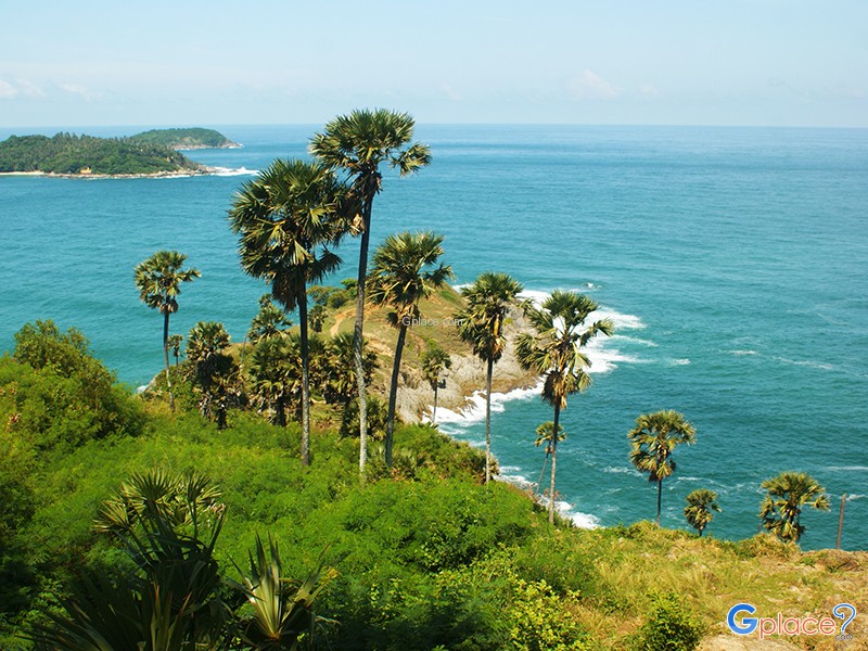
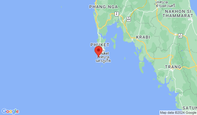
Promthep Cape, or Laem Phromthep, is a geographical masterpiece situated at the southernmost extremity of Phuket Island. The name "Phrom" is derived from the Hindu deity Brahma, symbolizing purity, while "Thep" means God, together translating to "God's Cape." Geologically, the cape is characterized by its high metamorphic rock cliffs that endure the constant erosion of the Andaman Sea. The mo...
read more
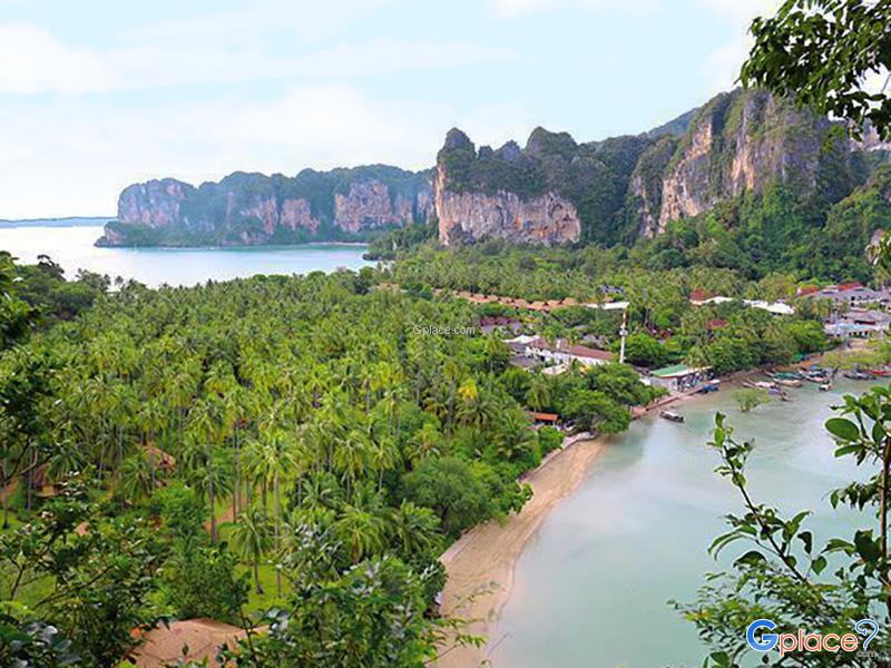
Railay Viewpoint, often referred to by locals as the "Phra Nang Nai Peak Viewpoint", is a premier natural attraction that offers a panoramic perspective of one of the world’s most beautiful peninsulas. Located on the limestone crags that divide East Railay and Phra Nang Cave Beach, this site is not a typical walking path but rather a vertical scramble. The ascent involves navigating a steep,...
read more
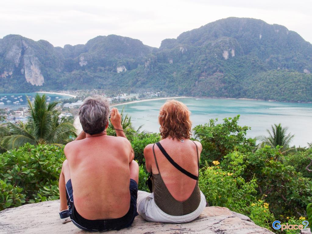
The Phi Phi Don Viewpoint is a significant geographical landmark situated on the eastern limestone ridge of the island, rising approximately 186 meters above sea level. This site offers a rare vantage point to observe the island's unique "double bay" formation—a narrow sand isthmus connecting two mountainous parts of the island, flanked by the symmetrical curves of Ton Sai Bay and Loh Dalum ...
read more
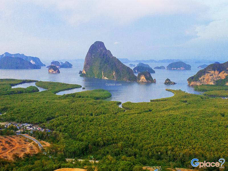
Samed Nang Chee Viewpoint is one of the most awe-inspiring sunrise viewpoints in southern Thailand, located in Ban Khlong Kian, Phang-nga. Perched above Phang-nga Bay, the viewpoint provides a panoramic 180-degree vista of limestone karsts and scattered islands across the calm sea. As the sun rises from behind the cliffs, the golden light dances on the misty bay, offering an unforgettable spectacl...
read more
3 Bays Viewpoint, formerly known as Karon Viewpoint, is one of Phuket's most famous coastal viewpoints. Located on the coastal road between Nai Harn and Karon beaches in Karon Subdistrict, Phuket Town, it sits on a hilltop at a suitable height_, offering unobstructed views of the Andaman Sea coastline. It has become a must-visit landmark for tourists in Phuket due to its easy accessibility, conveni...
read more
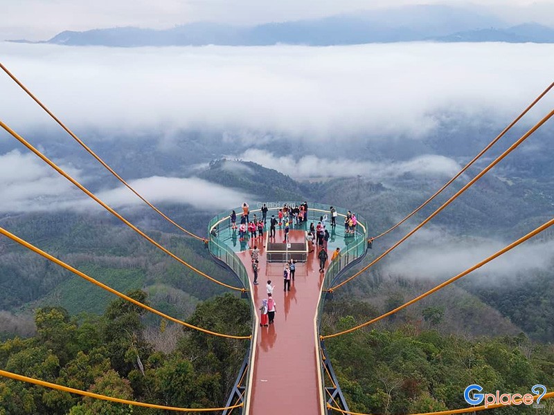
Ayerweng Sea of Mist (Ayerweng Sea of Mist) is located on a high mountain area in Betong District at an elevation of approximately 2,038 feet above sea level within the Hala-Bala rainforest, one of the most biodiverse and important tropical rainforest ecosystems in southern Thailand. The landscape is characterized by complex mountain ranges and deep valleys, which create ideal conditions for dense...
read more
Hat Yai Municipal Park is a large green space covering more than 900 rai, located on the foothills and hilltops of Khao Kho Hong. Its diverse topography includes flat recreational areas, a large reservoir, and elevated viewpoints, making it suitable for both leisure activities and cultural tourism in one destination.
The park is divided into several main zones, each with distinct character...
read more
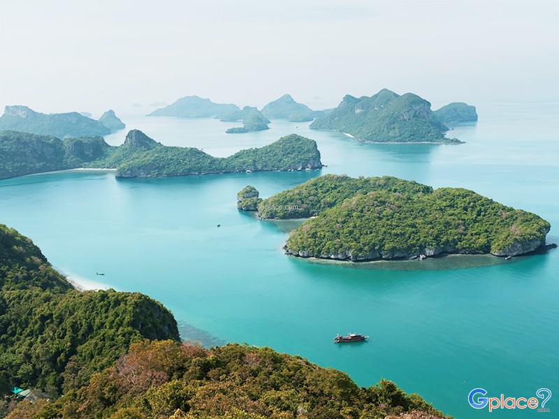
Ko Wua Ta Lap serves as the headquarters of Mu Ko Ang Thong National Park and hosts the visitor center. The island boasts a pristine white sandy beach perfect for swimming, kayaking, and relaxing under shady trees along the shoreline.
Nearby is the remarkable Bua Bok Cave, adorned with stalactites and stalagmites shaped like blooming lotus flowers, inviting safe exploration by visitors.
A 400-mete...
read more
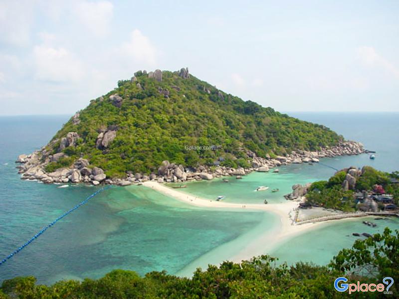
Koh Nang Yuan is one of over 100 islands in Surat Thani, located just off the coast of Koh Tao. It consists of three small islands connected by white sandbars, forming a unique Y-shaped landscape surrounded by crystal-clear emerald waters.
The island’s charm lies in its exceptionally clear sea, where you can easily spot tropical fish, coral reefs, and seashells. With strict environmental man...
read more
Khao Fachi is located in La-un Nuea Subdistrict, La-un District, Ranong Province, with an elevation of approximately 259 meters above sea level. The mountain’s distinctive rounded shape resembles an upside-down traditional food cover (“fachi”), which is the origin of its name.
The summit serves as a prominent viewpoint in the province, offering clear views of an estuary landscape...
read more
Khao Matree Viewpoint is considered one of the most beautiful viewpoints and an important landmark of Chumphon Province. Located on the peak of Khao Matree, which is not very high but offers an excellent vantage point, visitors can enjoy a panoramic 360-degree view of the surrounding scenery. You can see the overall view of Chumphon city, peaceful fishing villages, and the curved shoreline of Fara...
read more
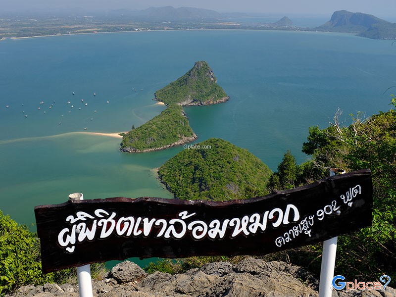
Khao Lom Muak is situated within the area of Wing 5 Air Force Base, a site of profound military and national historical significance, as it was the location of the "Battle of Prachuap Khiri Khan" during World War II. This critical engagement took place on December 8, 1941, when Japanese forces landed at Ao Manao. The Thai airmen stationed at the Prachuap Airfield fiercely resisted the invasion for...
read more
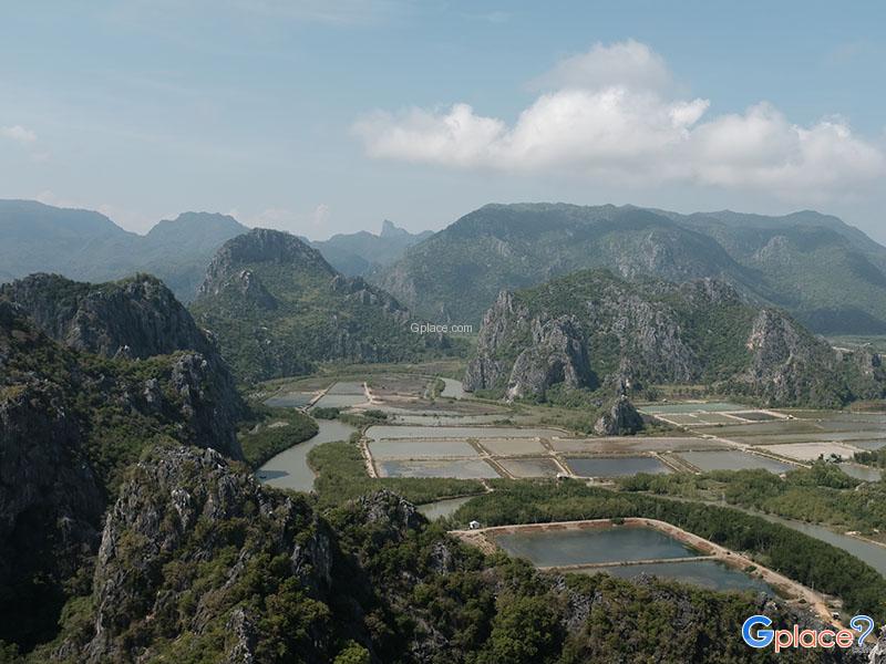
Khao Daeng Viewpoint is one of the key landmarks of the Khao Sam Roi Yot National Park, located within the Sam Roi Yot District. It is the highest point for taking in the open-air scenery of the park. While the ascent to the summit involves a walking trail of approximately 700 meters, it is quite steep and requires continuous effort. Upon reaching the top, visitors are treated to an immense 360-de...
read more
Khao Krachom, located in Suan Phueng District, Ratchaburi Province, is one of the most famous viewpoints for observing the sea of mist and sunrise in western Thailand. Situated in the Tenasserim Mountains near the Thai-Myanmar border, it sits at an elevation of approximately 1,000–1,045 meters above sea level, resulting in cool temperatures year-round. During the rainy and winter seasons, ...
read more
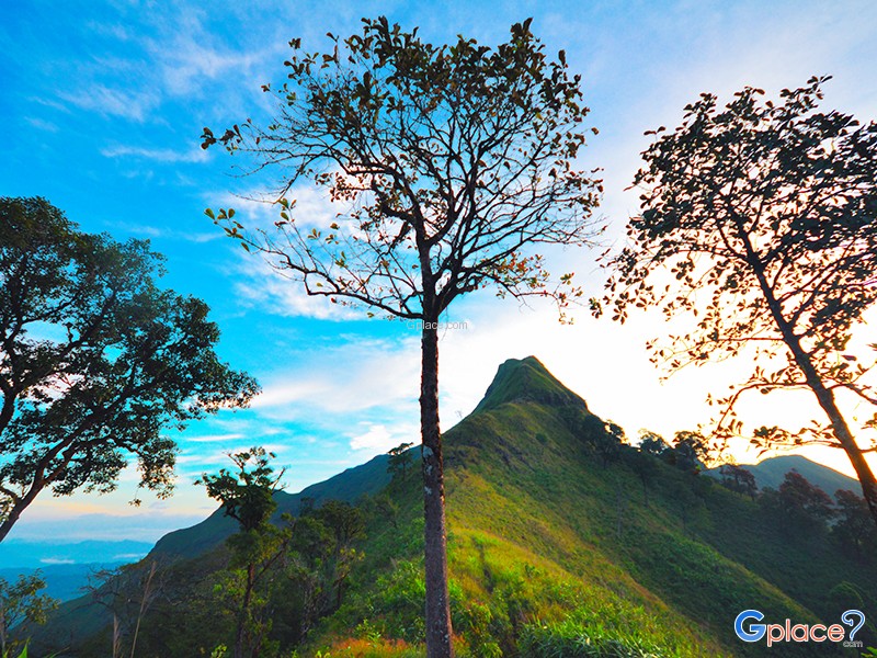
Khao Chang Phueak (Khao Chang Phueak) is one of Thailand’s most famous and challenging trekking destinations, located within Thong Pha Phum National Park in Kanchanaburi Province. Rising approximately 1,249 meters above sea level, it is the highest peak in the park and is best known for its dramatic ridge trail called the “Knife Edge Ridge.”
The trekking route is approximate...
read more
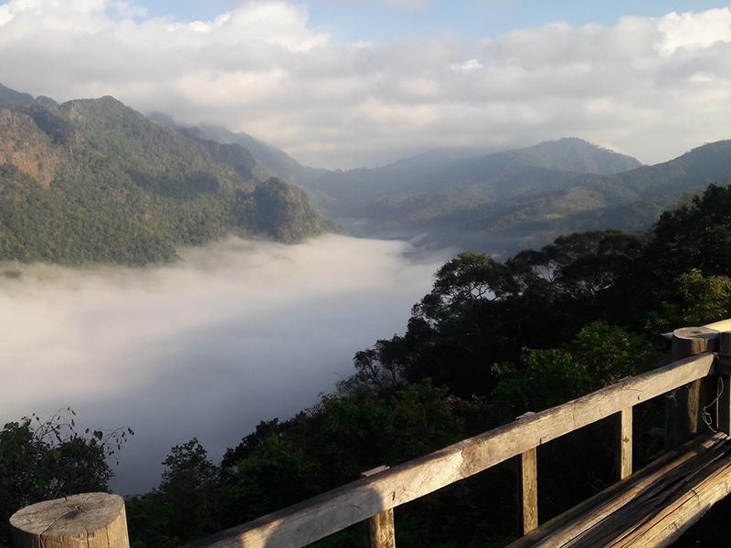
Pilok Mine Viewpoint is located along the mountain road in the Tenasserim Range, in Thong Pha Phum District, Kanchanaburi Province, Thailand. The area is part of a lush montane rainforest with rich biodiversity and a cool climate throughout the year. In the late rainy season and winter, high humidity often leads to frequent sea-of-mist conditions.The route to Ban E-Tong and the Pilo...
read more
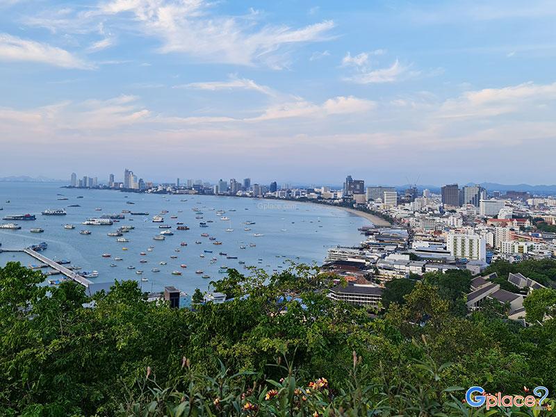
Phra Bat Hill (Khao Phra Bat or Khao Phra Tamnak) is a legendary landmark that offers a breathtaking 180-degree panoramic vista of the Pattaya Bay curve. Visitors can witness a stunning contrast between the modern Pattaya skyline and the azure sea dotted with speedboats, creating one of the most picturesque compositions in Chonburi. This is especially true during the "Golden Hour" at sunset, when ...
read more
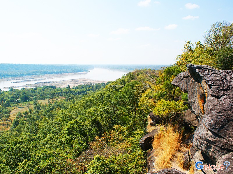
Pha Taem National Park is located in Khong Chiam District, Ubon Ratchathani Province, covering an area of about 340 square kilometers. The terrain is mainly composed of rugged high mountains, cliffs along the Mekong River, dry dipterocarp forests, mixed deciduous forests, and natural rock plateaus, home to diverse flora and fauna.
Before it was declared a national park, the Pha Taem area had been ...
read more
Phu Chanadai is a high and striking cliff within Pha Taem National Park, located in Khong Chiam District, Ubon Ratchathani. The cliff rises approximately 300–400 meters above sea level, providing clear views of the Mekong River and neighboring countries.
The area is rich in dry evergreen forest and native plant species, home to various wildlife and bird species. The trail to the summit has b...
read more
Pha Lomsak is part of the western cliffline of Phu Kradueng, a sandstone plateau within Phu Kradueng National Park. The cliff juts dramatically from the main escarpment like a natural balcony, located about 1,280 meters above sea level. From this point, visitors can see vast mountain ranges such as Phu Luang and Phu Khwang, glowing beautifully under the setting sun.
The trail to Pha Lomsak starts ...
read more
Phu Thap Boek is the highest mountain peak in Phetchabun Province and one of Thailand’s most popular destinations for nature lovers, photographers, and camping enthusiasts. Standing at approximately 1,768 meters above sea level, the mountain offers refreshing cool weather throughout the year. During winter, temperatures can drop to single digits, and frost can occasionally appear on the moun...
read more
Khao Kho Post Office Viewpoint Post Office Viewpoint is located on a mountain ridge along Highway 2196 in Khao Kho District, Phetchabun Province. It's one of the most popular viewpoints for observing the sea of mist in the Khao Kho area. It's easily accessible, situated right next to the main road, and offers an open area with expansive views of the valleys below, especially the Rattanai Re...
read more
Pino Latte & Cafe is one of the most famous tourist landmarks in Khao Kho District, Phetchabun Province. Located on a high ridge near Wat Phra That Pha Sorn Kaew, it boasts a panoramic view of the intricate mountain ranges, seasonal sea of mist, and a clear, high-angle view of Wat Phra That Pha Sorn Kaew, making it a nationally renowned viewpoint. Especially during the rainy and winter ...
read more
Sui Thang Viewpoint (Sui Thang Viewpoint), also widely known as Sui Thang Military Operations Base, is one of the most famous viewpoints along the Doi Ang Khang route. Situated on a high mountain ridge beside the Ang Khang–Arunothai–Chai Prakan road, the site offers sweeping panoramic views of layered mountain ranges stretching along the Thai–Myanmar border. The area remains an a...
read more
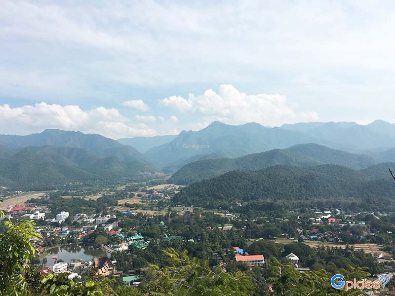
Wat Phra That Doi Kong Mu is a significant and famous place, known as a sacred landmark of Mae Hong Son Province and an exceptionally beautiful viewpoint of the city.
This place has a long history, built in 1860 by Jong Tong Su, a wealthy Tai Yai merchant, who constructed the large pagoda to enshrine relics of Phra Moggallana Thera, brought from Mawlamyine, Myanmar. Later, in 1874, Phraya Sin...
read more
Doi Ang Khang Viewpoints (Doi Ang Khang Viewpoints) does not refer to a single viewpoint but rather a collection of major scenic viewpoints distributed along the mountain ridges and cliffs of Doi Ang Khang. The most popular destinations include Mon Son Viewpoint, Kiu Lom Viewpoint, and Ban Nor Lae Military Base Viewpoint, attracting both Thai and international visitors. Most of these locations are...
read more
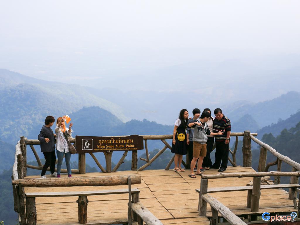
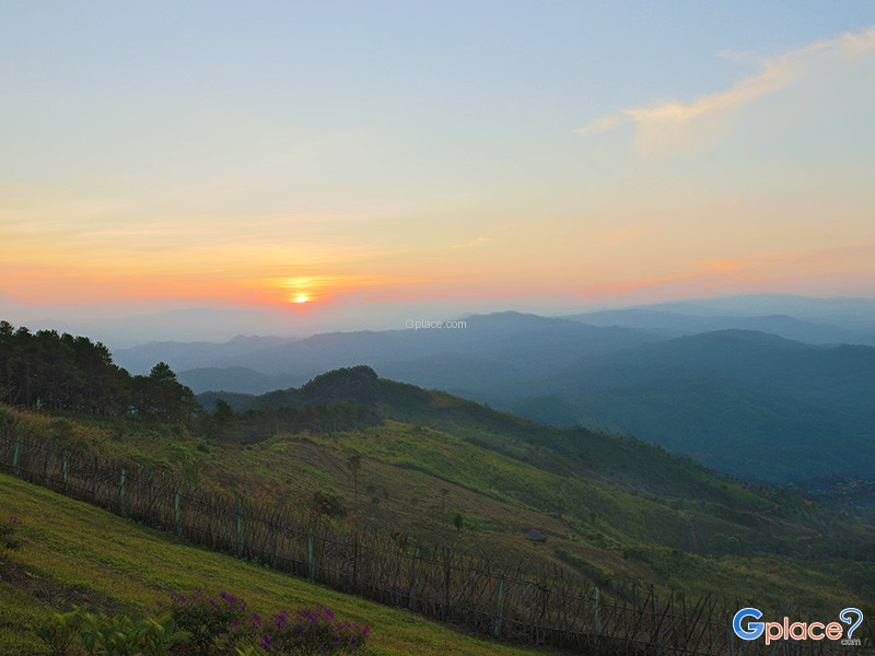
Mon Sone Viewpoint is located on Doi Ang Khang within the Doi Pha Hom Pok National Park. It is a scenic viewpoint situated at an altitude of approximately 1,787 meters above sea level. This location features a wide terrace on a mountain ridge that offers a clear, panoramic view of the Dan Lao Mountain Range. During the winter and rainy seasons, Mon Sone Viewpoint is highly famous for its...
read more
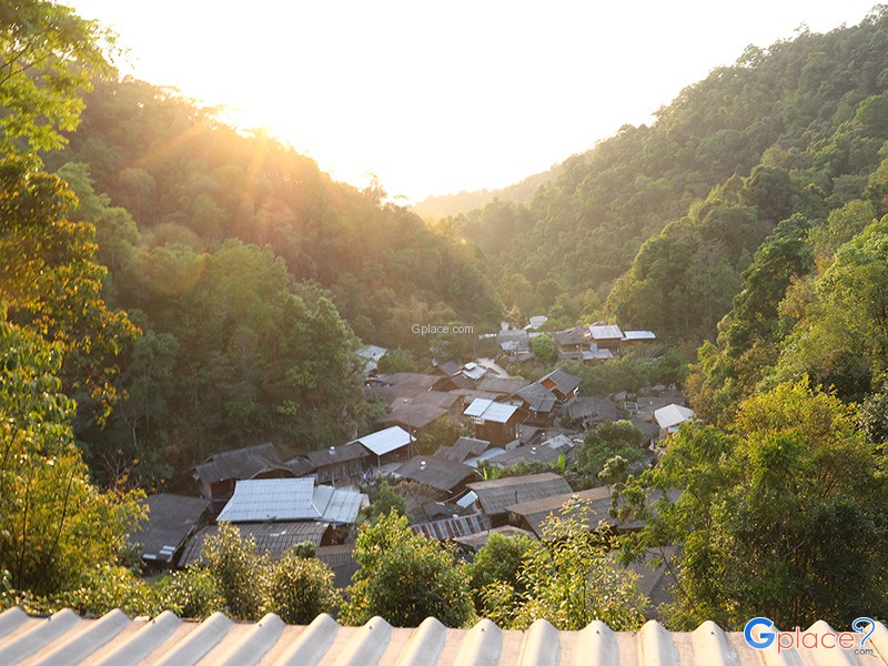
Rabiang View Mae Kampong (Rabiang View Mae Kampong) is both a café and viewpoint that perfectly reflects the charm of Mae Kampong Village. The café is built mainly from natural wood that blends harmoniously with the surrounding environment. Multiple terrace levels provide relaxing seating areas, while the highlight is enjoying drinks alongside beautiful panoramic views of the hillsid...
read more
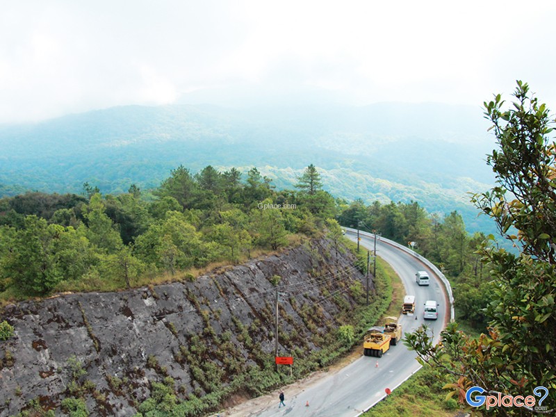
The View Point Km 41 is located at kilometer 41 on the Chom Thong–Doi Inthanon road. This viewpoint sits just before the Twin Pagodas. It’s among the most breathtaking sunrise and mist-viewing spots in Doi Inthanon National Park. During the cool season (October–March), the area is often covered by dense morning fog over layered mountains.
Visitors can stop their cars right ...
read more
Doi Tung has many beautiful scenic spots.
Along the highway in 1149. viewpoint at km. 12 and 0.14 Kilometer.Along the Wat Noi Doi Tung - cliff house Bears. The road, which runs along the top of the mountain for many children. A viewpoint overlooking the panoramic view point on the mountain, like Moses on Doi Pha Chang Hee and Doi Pha Hom.Doi Tung has many beautiful viewpoint at....
read more
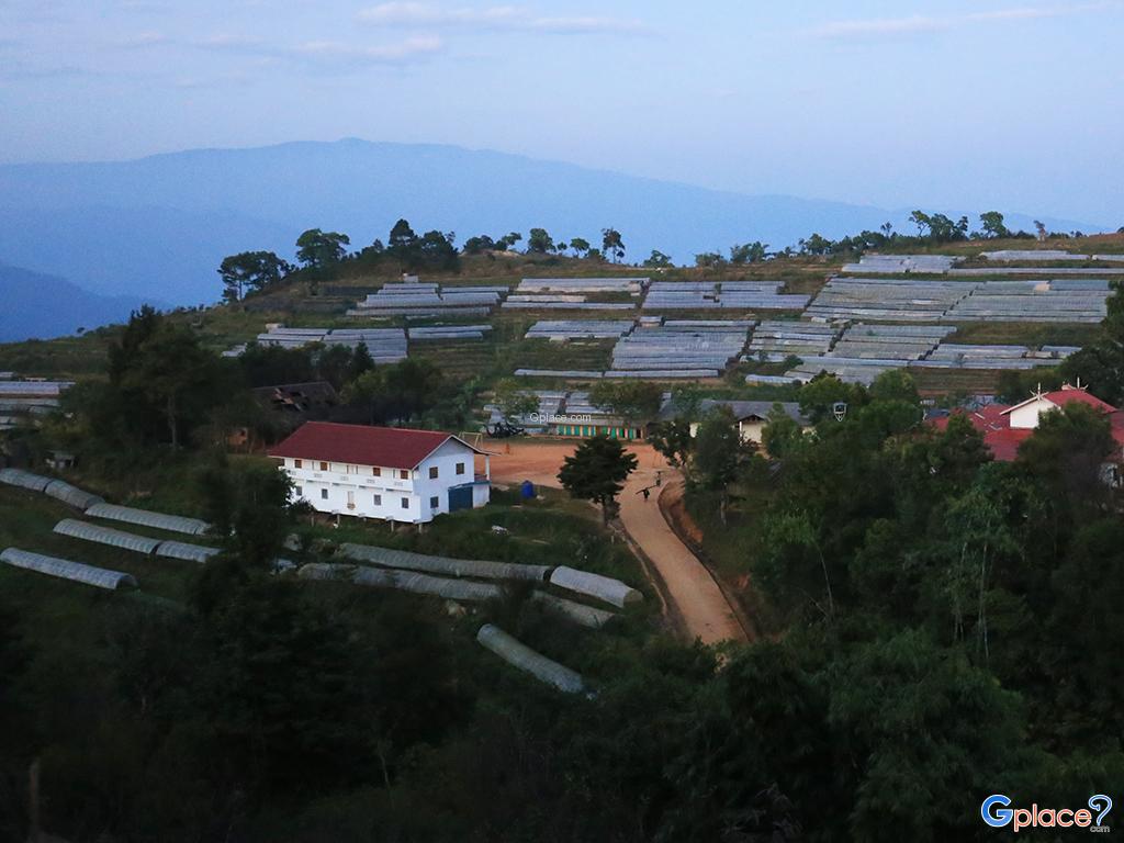
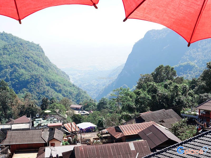
Doi Pha Hee, or Ban Pha Hee, began as a settlement for the Akha ethnic community that migrated from Myanmar and China decades ago. Originally, this mountainous area was used for opium cultivation. However, thanks to the royal grace of the Princess Mother (Somdet Ya), who introduced the Doi Tung Development Project to transform the region, the villagers shifted to planting Arabica coffee instead. T...
read more

 Attractions
  Hotel
Hotel  Restaurant
  Shopping
  Abroad
  Nearby Places






 4362
4362