
 Attractions
  Hotel
Hotel  Restaurant
  Shopping
  Abroad
  Nearby Places





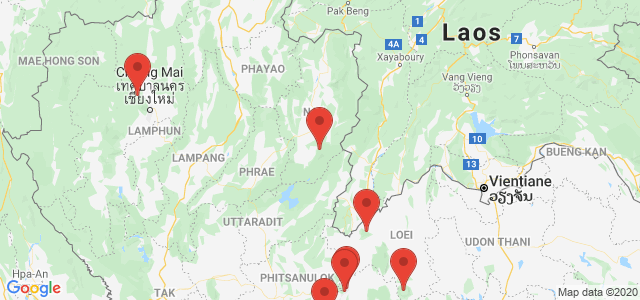
ที่เที่ยวกางเต้นท์นอน รับลมหนาว

 6701
6701
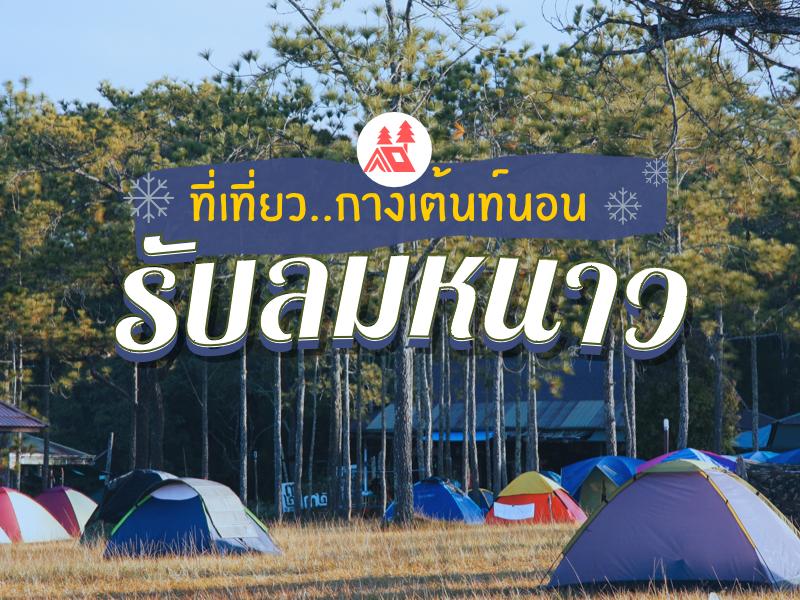 รวมที่เที่ยวสำหรับคนที่ชื่นชอบการนอนเต้นท์ ใกล้ชิดธรรมชาติ ยิ่งใกล้เข้าหน้าหนาว ไฮไลท์อย่างนึงก็คือการ นอนกางเต้นท์นี้แหละ อาจจะไม่สะดวกสบายเท่าบ้านพัก แต่ก็ได้สัมผัส ทั้งอากาศ ซึมซับบรรยากาศธรรมชาติ อย่างเต็มอิ่ม จะมีที่ไหนหน้าไปกางเต้นท์นอนบ้าง ไปดูกัน
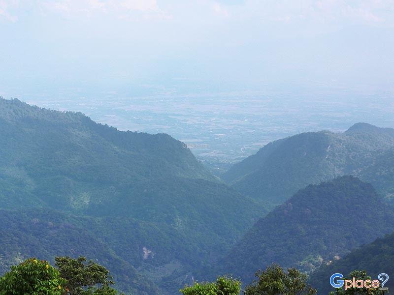
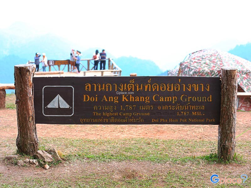
Mon Sone Viewpoint is located on Doi Ang Khang within the Doi Pha Hom Pok National Park. It is a scenic viewpoint situated at an altitude of approximately 1,787 meters above sea level. This location features a wide terrace on a mountain ridge that offers a clear, panoramic view of the Dan Lao Mountain Range. During the winter and rainy seasons, Mon Sone Viewpoint is highly famous for its...
read more

Doi Suthep-Pui National Park covers areas in Mae Rim, Hang Dong, and Mueang Chiang Mai districts, with an area of approximately 262.50 square kilometers (163,162.50 rai). It consists of rich forests and complex mountains, including Doi Suthep (1,667 m), Doi Buak Ha, and Doi Pui (highest 1,685 m), which are the sources of important streams.
Major attractions and important sites within the park:
W...
read more

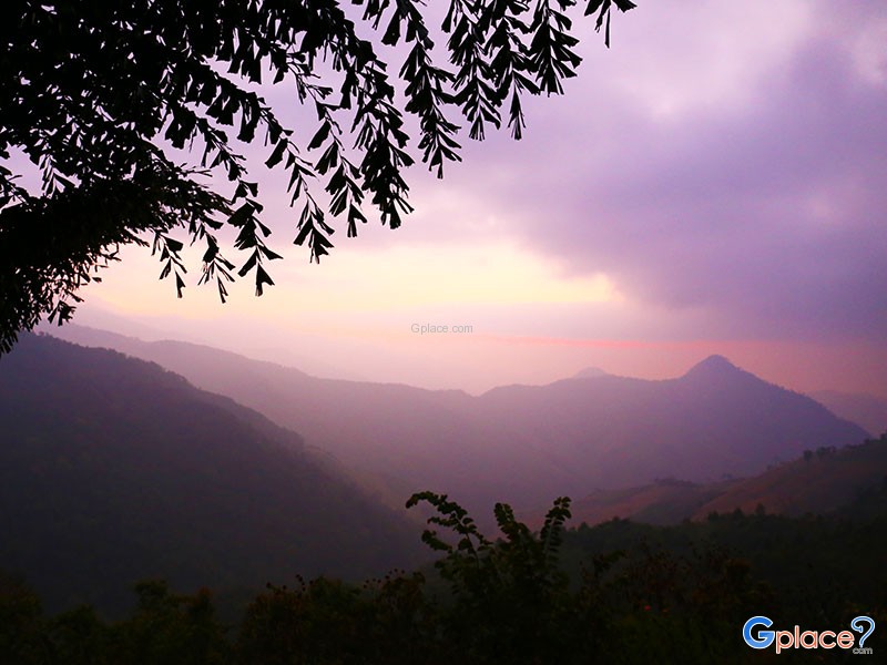
Lan Du Dao Doi Phu Kha National Park is a premier viewpoint in Doi Phu Ka National Park, Nan, known for its exceptionally clear skies and minimal light pollution. Located at high elevation, visitors can admire countless stars, planets, and the Milky Way.
The deck is specially designed for astronomy enthusiasts, with seating areas and open spaces for unobstructed views of the night sky. Visitors ca...
read more
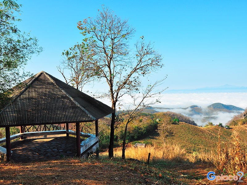
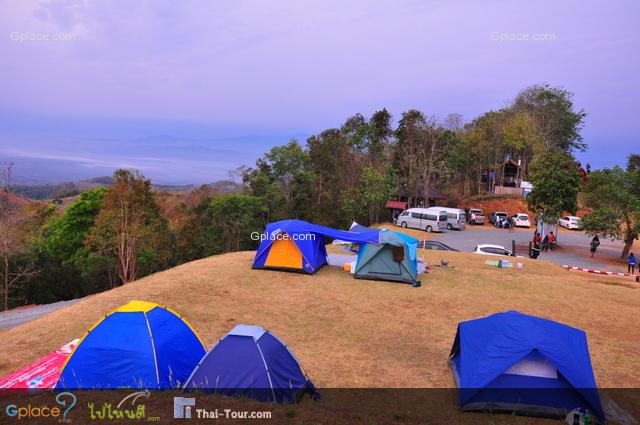
Doi Samer Dao and Pha Hua Sing are iconic destinations in Nan province, known for their panoramic mountain scenery and enchanting morning sea of mist. This spot attracts countless nature lovers who wish to immerse themselves in the serene beauty of northern Thailand.
What makes this site truly special is its spectacular sunrise and sunset viewpoints. Visitors often camp overnight to witness the sh...
read more
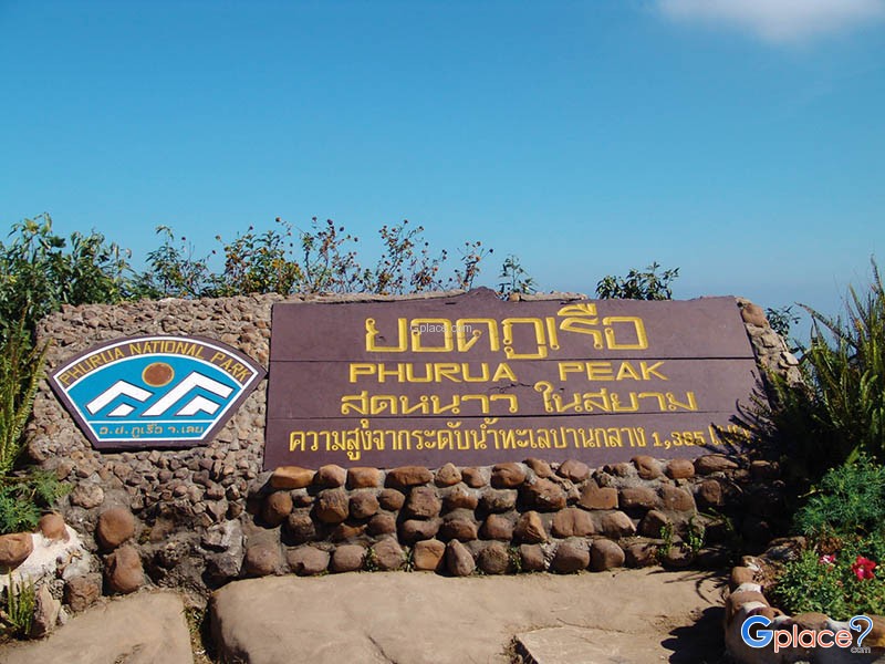
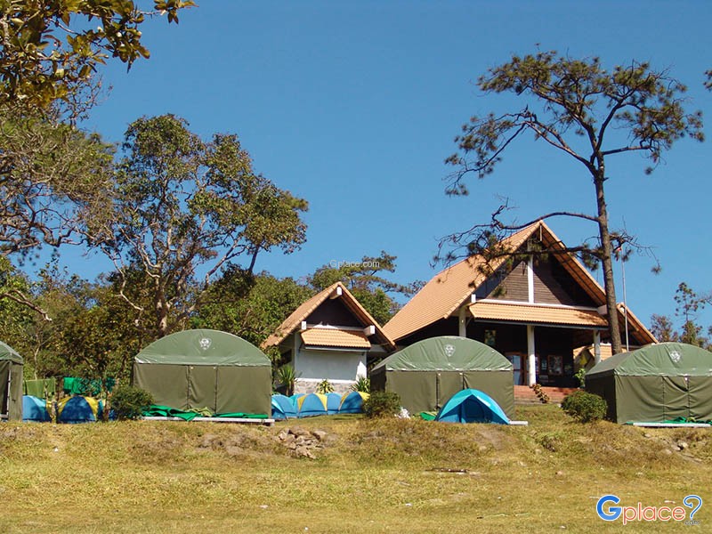
Phu Ruea National Park covers areas in Phu Ruea and Tha Li districts of Loei Province, with its northern boundary adjoining Laos. The park’s terrain resembles a large ship perched atop a high mountain, with some rocks shaped as if sculpted, locally called “Kwan Samor.” Surrounding peaks are often shrouded in mist, creating a serene atmosphere amid lush forests, covering an area o...
read more
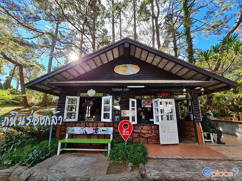
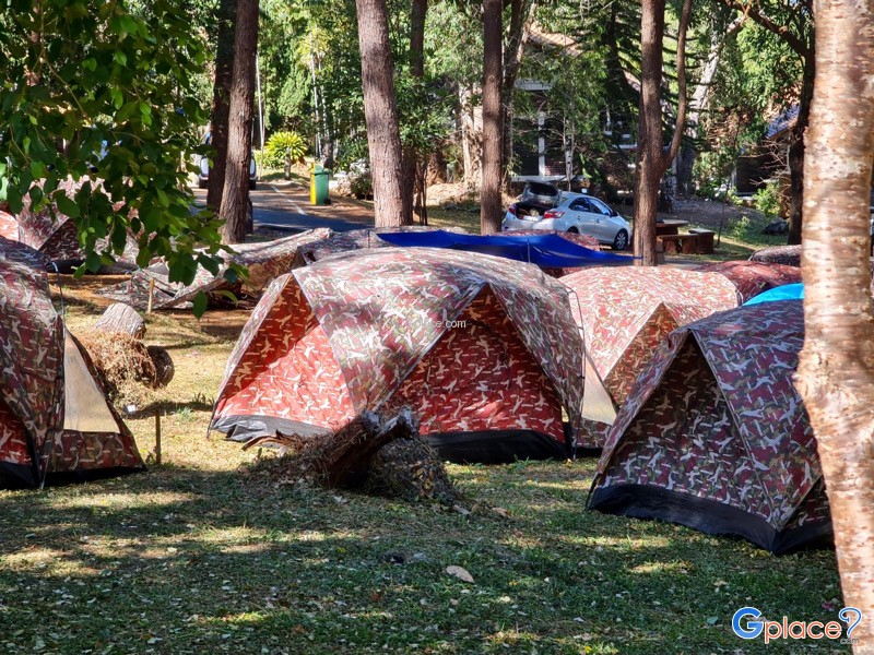
Phu Hin Rong Kla National Park is a unique travel spot unlike anywhere else in Thailand. It doesn’t just have green forests, but it is also a land full of historical stories and strange-looking geological features. This area is located on the border of three provinces: Phitsanulok, Phetchabun, and Loei. This makes the weather cold almost all year, especially in winter when the temperature ca...
read more

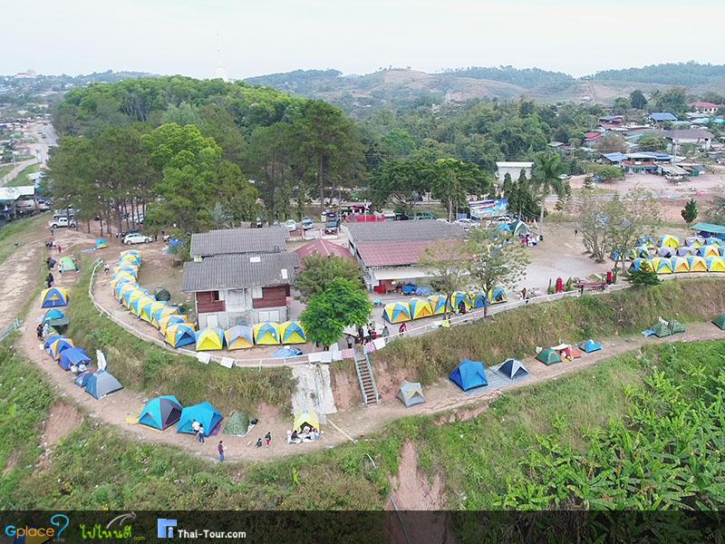
Khao Kho Post Office Viewpoint Post Office Viewpoint is located on a mountain ridge along Highway 2196 in Khao Kho District, Phetchabun Province. It's one of the most popular viewpoints for observing the sea of mist in the Khao Kho area. It's easily accessible, situated right next to the main road, and offers an open area with expansive views of the valleys below, especially the Rattanai Re...
read more
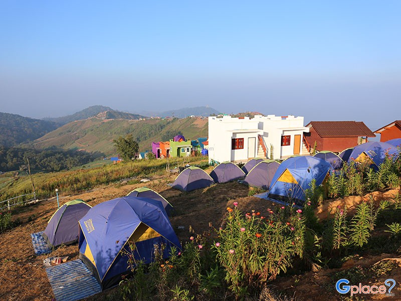
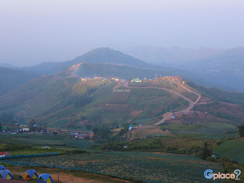
Phu Thap Boek is the highest mountain peak in Phetchabun Province and one of Thailand’s most popular destinations for nature lovers, photographers, and camping enthusiasts. Standing at approximately 1,768 meters above sea level, the mountain offers refreshing cool weather throughout the year. During winter, temperatures can drop to single digits, and frost can occasionally appear on the moun...
read more
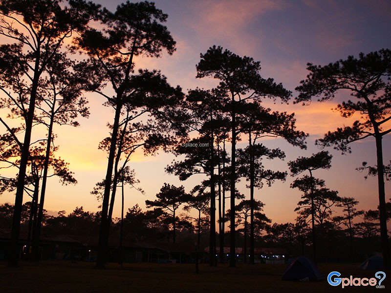
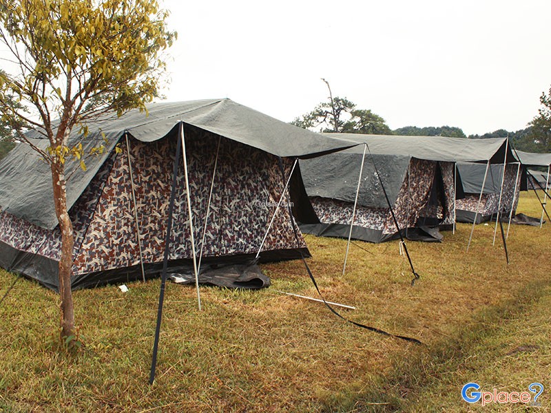
Phu Kradueng National Park is a sandstone table-top mountain shaped like an inverted bell, covering approximately 348 square kilometers (217,575 rai). It was declared Thailand’s second national park in 1959 (B.E. 2502).
The summit plateau is about 60 square kilometers, serving as the main area for overnight stays and nature exploration. The Wang Kwang Visitor Center provides accommodation, c...
read more
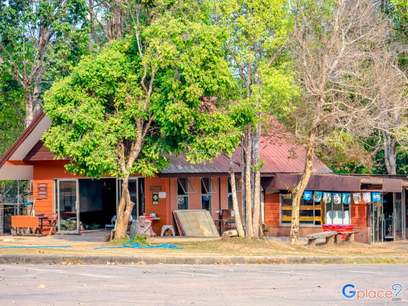
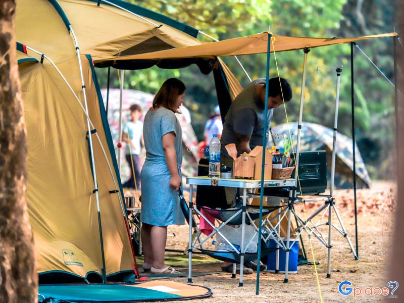
Pha Kluai Mai Waterfall is located deep within Khao Yai National Park. It is a natural tourist attraction with high biological integrity. This medium-sized waterfall originates from the stream of Huai Lam Takhong, a major stream flowing through the park's rainforest and the source of the Lam Takhong River.
Physical Characteristics of the Waterfall
Height and Tiers: The waterfall is approximately...
read more
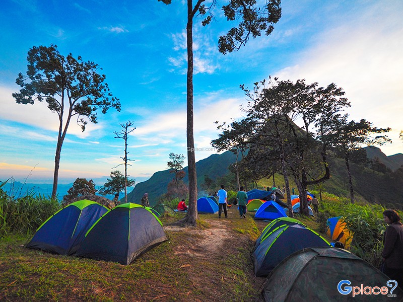
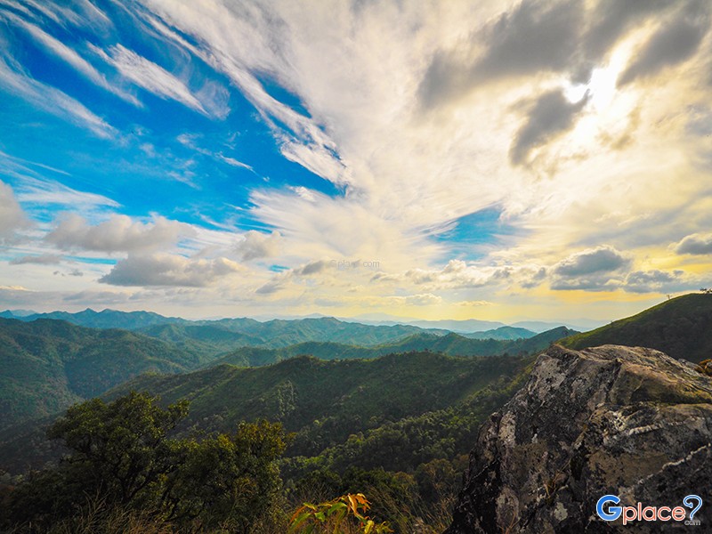
Khao Chang Phueak (Khao Chang Phueak) is one of Thailand’s most famous and challenging trekking destinations, located within Thong Pha Phum National Park in Kanchanaburi Province. Rising approximately 1,249 meters above sea level, it is the highest peak in the park and is best known for its dramatic ridge trail called the “Knife Edge Ridge.”
The trekking route is approximate...
read more
กำลังเป็นที่นิยม

10 Must-Visit Spots Along the Chao Phraya River, B
Exploring the Chao Phraya River offers one of the most complete experiences of B..
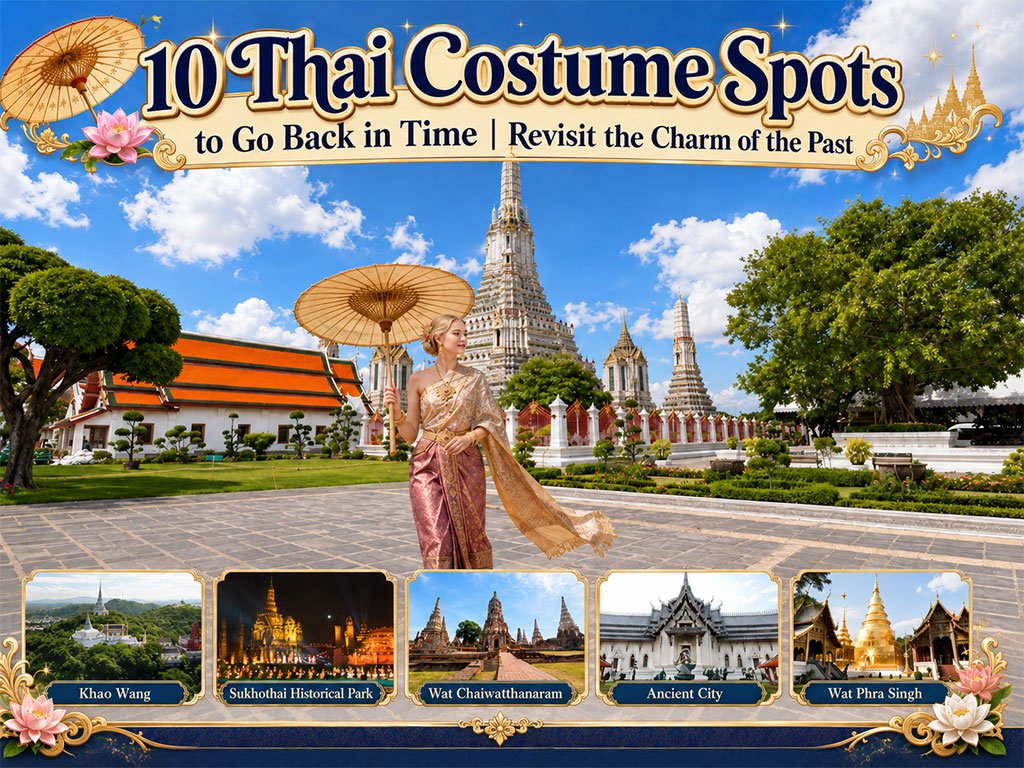
10 Thai Costume Spots to Go Back in Time
Wearing traditional Thai costume and taking photos at beautiful places is more t..

8 World Heritage Sites of Thailand
Tracing Ancient Civilizations and Invaluable Forests Recognized by UNESCO Thaila..

Attractive Beaches in Sattahip, Chonburi
For those looking to escape the hustle and bustle of Pattaya and experience calm..
Recommend trips
- The Four Holy Pilgrimage Sites
- Dream Destinations in Switzerland
- Pilgrimage to the Sacred Sites
- 10 Thai Costume Spots to Go Back in Time
- Trip to Bhutan
- 10 Sacred Buddhist Sites Thai Temples in India–Nep
- Top Paris Check-in Spots
- Must-Visit Check-in Spots in London
- Attractive Beaches in Sattahip, Chonburi
- 10 Must-Visit Spots Along the Chao Phraya River, B
- 8 World Heritage Sites of Thailand
- The Ultimate Ancient Villages in Japan
- 10 Must-Visit Places in Waterford
- Watsons Bay Half-Day Trip
- 10 Best Shopping Destinations in Bangkok
- Japan Bucket List: 20 Places You Must Visit Once i
- 10 Must-Visit Spots in Koh Yao
- EBC - World-Class Trekking Route
- 10 Must-Visit Check-ins in Uthai Thani
- Giant Buddha Landmarks in Thailand