


รวมที่เที่ยวยอดนิยม 2559
 9201
9201
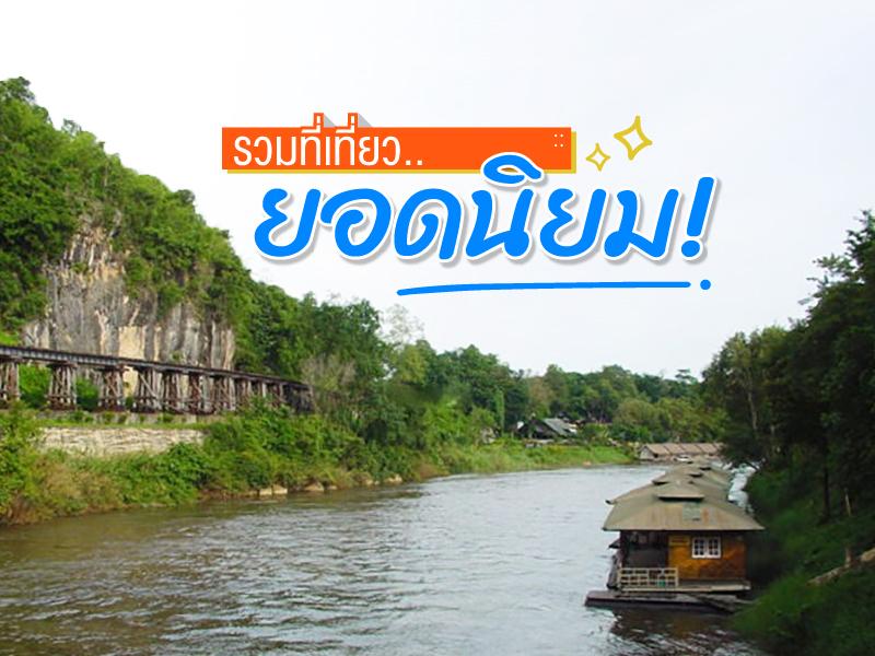 ผ่านไปแล้ว 1 ปี สำหรับปี 2559 ในปีนี้เป็นปีที่หลายๆคนคงได้เที่ยวแบบเต็มที่ แล้วอีกหลายๆคน คงอยากไปแต่ติดภารกิจ วันนี้แอดจึงลองรวบรวมสถานที่ท่องเที่ยว ที่เป็นที่นิยมไปพักผ่อนกันของปีนี้มาฝากกัน


Khao Yai National Park is Thailand’s first national park, established on September 18, 1962, covering an area of over 2,168 square kilometers across four provinces: Nakhon Ratchasima, Prachinburi, Nakhon Nayok, and Saraburi. In 2005, it was declared a UNESCO World Heritage Site as part of the Dong Phayayen–Khao Yai Forest Complex.
The park features a mix of evergreen forests, grassland...
read more


Doi Inthanon National Park, located in Chiang Mai Province, is home to the highest peak in Thailand — Doi Inthanon, standing at 2,565 meters above sea level. The park spans over 482.4 square kilometers and covers parts of Chom Thong, Mae Chaem, Mae Wang, and Doi Lo districts.
Shaped by the Himalayan mountain range, the park features a landscape of rugged high mountains running north to south...
read more


Doi Luang Chiang Dao stands as a limestone peak reaching 2,225 meters above sea level, featuring distinct geological characteristics that are rare in this region. The landscape from the summit is majestic, characterized by complex mountain ridges, particularly the Pyramid Peak and the Three Brothers Peaks, which are often enveloped in a thick sea of mist during the morning. Visitors can experience...
read more


Doi Ang Khang possesses a deeply valuable history as the site of the Ang Khang Royal Agricultural Station, the first royal agricultural research station established by King Bhumibol Adulyadej the Great (Radama IX) in 1969. The creation of this station began when His Majesty traveled through opium fields and witnessed the shifting cultivation practiced by hill tribes. He initiated a royal project t...
read more


Mon Bridge, officially known as the "Uttamanusorn Bridge," is located in Sangkhlaburi District, Kanchanaburi Province. It's a wooden bridge spanning the Songkalia River and is considered the longest wooden bridge in Thailand, measuring approximately 850 meters. While some engineering estimates differ slightly, the widely accepted figure for tourism and local authorities is around 850 meters, refle...
read more


Suan Phueng District is a district of Ratchaburi Province, a land of Mae Klong River culture and mist of the Tenasserim Hills. It is located on the western side of Ratchaburi Province, adjacent to the Tenasserim Hills, which form the natural border between Thailand and Myanmar. The landscape of Suan Phueng varies from the fertile lowlands of the Mae Klong River, where crops and fruits are gro...
read more
7
Khao Kho

Khao Kho is the definition of a vacation paradise in the lower northern region, earned the nickname Switzerland of Thailand. The name "Khao Kho" is derived from the Kho tree (Livistona speciosa), a palm species with fan-like leaves that grew abundantly in this area in the past. Beyond its atmosphere, the area holds significant history as a battlefield between the government and the Commu...
read more


Phu Thap Boek is the highest mountain peak in Phetchabun Province and one of Thailand’s most popular destinations for nature lovers, photographers, and camping enthusiasts. Standing at approximately 1,768 meters above sea level, the mountain offers refreshing cool weather throughout the year. During winter, temperatures can drop to single digits, and frost can occasionally appear on the moun...
read more

Hat Cha-am (Cha-am Beach) is the most famous beach in Phetchaburi, offering over 7 kilometers of pristine white sand. The central section is bustling with activities such as jet skiing, horse riding, beachside cafes, and shops, making it perfect for energetic beachgoers.
The northern and southern ends of the beach provide a more tranquil setting for sunbathing, swimming, and experiencing the coast...
read more
10
Hua Hin


Hua Hin is Thailand's oldest seaside resort town, with its origins dating back to the reign of King Rama VI and achieving great prosperity during the reign of King Rama VII after the railway arrived and Klai Kangwon Palace was constructed as a royal summer residence. Hua Hin is situated on the Gulf of Thailand, with its long, sweeping beach being the main attraction. Transportation is convenient, ...
read more


Chiang Khan Walking Street is a prominent tourist attraction in Chiang Khan, Loei Province. The street is an old, peaceful area that comes alive in the evening as a walking street. Here, visitors can experience the authentic local lifestyle and enjoy the serene environment.
The walking street is filled with local shops selling regional handicrafts, traditional foods such as fresh rice noodles, spi...
read more
12
Koh Chang


Koh Chang Koh Chang is the largest island in the Gulf of Thailand and serves as the heart of Mu Ko Chang National Park. Most of its area consists of steep mountains and pristine tropical rainforests that still cover more than 70% of the island. This remarkable geography ensures that Koh Chang offers more than just the sea; it also boasts abundant freshwater sources that serve as the origin of...
read more
13
Koh Samui

Koh Samui is located in the Gulf of Thailand, approximately 84 kilometers east of Surat Thani, and is the third-largest island in Thailand. The island is known for its lush green mountains at the center, surrounded by stunning beaches and endless coconut palm coastlines, creating a unique tropical identity admired by travelers worldwide.
In the past, Koh Samui was famous as a major coconut product...
read more
14
Pattaya

Pattaya was once just a small fishing village before undergoing rapid development to become the world-renowned special local administrative zone it is today. Pattaya possesses dual economic potential outstanding tourism sector and being part of the Eastern Economic Corridor (EEC), making it a crucial center for both relaxation and investment.
The area of Pattaya City can be divided into four ...
read more


Koh Larn Island is a world-class popular destination situated parallel to Pattaya Beach. The island is 2 km wide and 5 km long, located only 7.5 km from the mainland. The standout landmark is Na Baan Pier, the first gateway for visitors and a prime viewpoint to witness the Pattaya and Jomtien skyline, where skyscrapers line the coast beautifully. Around the island, you will find fine white sand an...
read more
16
Koh Samet


Koh Samet it is the most well-known attraction of Rayong offers beautiful beaches with charming white sand, strange-shape rocks, suitable relaxation, water sporting, exploring the coral reefs beneath the sea. Koh Samet is located some 6.5 kilometers from Ban Phe. There are boat services available all day and many kinds of accommodation there.
Named "Ko Samet" because this island has Samet white tr...
read more
17
Railay Beach

Railay Beach, often regarded as one of Thailand’s most breathtaking coastal gems, has earned its reputation among the world's premier tropical destinations. Despite not being a true island, Railay’s geographic seclusion—enclosed by towering limestone cliffs—creates a peaceful island-like atmosphere that makes it inaccessible by road. This natural barrier contributes to its ...
read more


Doi Samer Dao and Pha Hua Sing are iconic destinations in Nan province, known for their panoramic mountain scenery and enchanting morning sea of mist. This spot attracts countless nature lovers who wish to immerse themselves in the serene beauty of northern Thailand.
What makes this site truly special is its spectacular sunrise and sunset viewpoints. Visitors often camp overnight to witness the sh...
read more

Doi Phu Kha National Park is the source of numerous streams and holds an ancient history tied to the legends of Nan’s people. Situated at an altitude of 1,980 meters above sea level, it covers an area of approximately 1,050,000 rai, spanning Pua, Chiang Klang, Thung Chang, Mae Charim, Tha Wang Pha, Santi Suk, and Bo Kluea Districts.
The terrain consists of steep, rugged mountains with stunni...
read more
20
Ban I Tong

Ban I-Tong (Baan Etong / Ban I-Tong) is a small border village located in Pilok Subdistrict, Thong Pha Phum District, Kanchanaburi Province, along the Tenasserim Mountain Range near the Myanmar border. Surrounded by lush mountains and dense forests, the village enjoys cool weather throughout the year. During the rainy and winter seasons, thick mist often blankets the entire village, giving rise to...
read more
กำลังเป็นที่นิยม
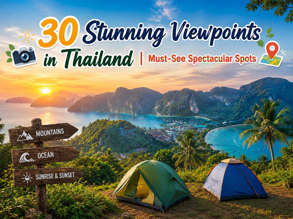
30 Stunning Viewpoints in Thailand
Thailand is brimming with gorgeous viewpoints, ranging from sea mists atop mount..
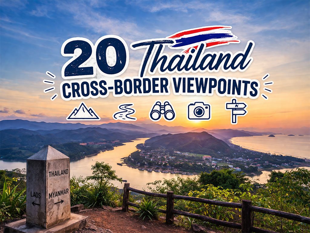
20 Thailand Cross-Border Viewpoints
Thailand boasts a fascinating landscape that connects seamlessly with its neighb..
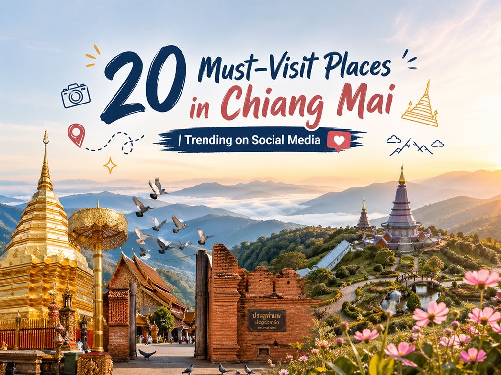
20 Must-Visit Places in Chiang Mai
Chiang Mai is a top-tier tourist destination in Thailand, offering a wide range ..
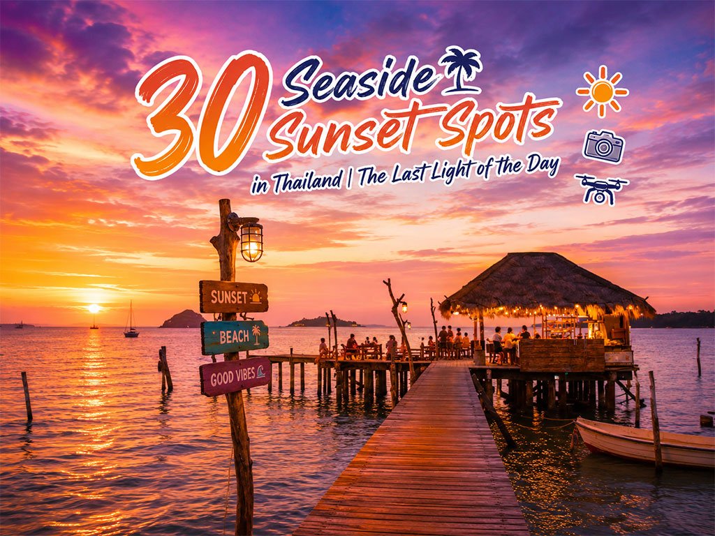
30 Sunset Spots along the Thai Sea
Explore the sunset spots along Thailand’s coast, revealing the beauty of the day..
Recommend trips
- 30 Sunset Spots along the Thai Sea
- The Four Holy Pilgrimage Sites
- Dream Destinations in Switzerland
- 20 Must-Visit Places in Chiang Mai
- Pilgrimage to the Sacred Sites
- Trip to Bhutan
- 10 Sacred Buddhist Sites Thai Temples in India–Nep
- 30 Stunning Viewpoints in Thailand
- Top Paris Check-in Spots
- Must-Visit Check-in Spots in London
- 20 Thailand Cross-Border Viewpoints
- 10 Must-Visit Spots Along the Chao Phraya River, B
- The Ultimate Ancient Villages in Japan
- Thailand’s Sandbar Wonders
- 10 Paradise Islands for Bikers to Explore
- 10 Must-Visit Places in Waterford
- Top 10 Must-Visit Spots in Pattaya
- 10 Must-Check-In Spots in Ireland
- Japan Bucket List: 20 Places You Must Visit Once i
- Thailand Nature Trails