


ระนอง ต้องเที่ยว
 5097
5097
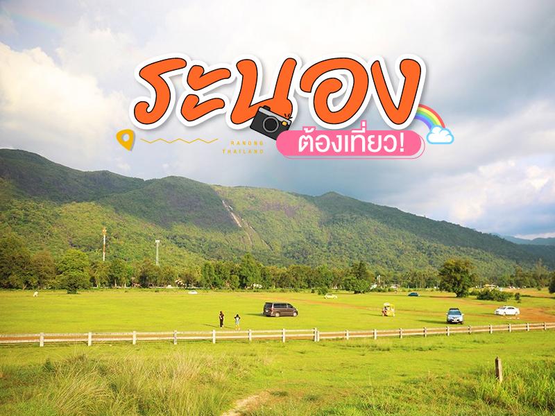 สถานที่ท่องเทียวระนอง ต้องเที่ยว ลัดเลาทางหลวงตลอดแนวชายฝั่งทะเลอันดามัน มากมายด้วยแหล่งท่องเที่ยวทางธรรมชาติมากมาย

Victoria Point — commonly known as Kawthaung — is Myanmar’s southernmost town, situated just across the Kraburi River from Ranong province in Thailand. The area is popular among Thai tourists who cross the border for a short visit to experience Burmese culture, shop for local crafts, and enjoy sea views from the quiet and laid-back town.
Visitors typically hire a longtail boat fr...
read more

Rattanarangsan Palace (Replica), is located at the foot of Rattanarangsan Hill near Ranong City Hall, in Khao Niwet Subdistrict, Mueang Ranong District, Ranong Province. The palace was built as a memorial to commemorate the royal visits and overnight stays of three Thai monarchs in Ranong.
Historical BackgroundThe story of Rattanarangsan Palace dates back to 1890 (B.E. 2433), when King Chula...
read more


Rakswarin Hot Springs is the most famous natural hot spring in Ranong Province, Thailand. Historical records trace its use back to 1890 (B.E. 2433) during the reign of King Rama V, when he visited southern Thailand and recognized the springs as a remarkable natural mineral source.
Later, in 1967 (B.E. 2510), Her Royal Highness Princess Srinagarindra (the Princess Mother) visited Ranong and graciou...
read more

Pornrang Hot Springs is located within Namtok Ngao National Park, one of Ranong’s notable natural attractions. Surrounded by lush tropical rainforest, the area offers a , shady atmosphere ideal for relaxation and wellness. The hot spring originates from groundwater that is heated underground and rises to the surface, maintaining an average temperature of around 35–40°C&mdash...
read more


Phu Khao Ya, locally known as “Bald Hill,” is one of the most distinctive landscapes in southern Thailand and a key landmark of Ranong Province. It features a series of gently rolling hills that stretch continuously across the area, almost entirely free of large trees.
What makes Phu Khao Ya unique is its open, treeless terrain covered only with short grass. This unusual characteristic...
read more

Koh Phayam, Ranong is located in the Andaman Sea on the western coast of Thailand, near the Myanmar border. It is a relatively large island known for its rich natural environment, with most areas covered by tropical rainforest, mangrove forests, and a coastline of alternating bays and beaches.There are no car roads on the island. Transportation is mainly by motorcycle and bicycle, creating a ...
read more

Laem Son National Park is a significant and famous location renowned for the abundant natural beauty of its marine environment. It occupies a total area of 315 sq. km. and is situated across Amphoe Mueang and Amphoe Kapoe in Ranong Province, extending to Amphoe Khura Buri in Phang Nga Province.
This area comprises approximately 60 kilometers of coastline and various islands in the Andaman Sea, inc...
read more


Punyaban Waterfall is located within Lam Nam Kra Buri National Park in Ranong Province, Thailand. It is situated in a highly fertile tropical rainforest area with rich biodiversity. The terrain is characterized by a complex range of hills extending from the Tenasserim Mountains down toward the Kra Buri River, which forms part of the natural border between Thailand and Myanmar. The area consists of...
read more


Khao Fachi is located in La-un Nuea Subdistrict, La-un District, Ranong Province, with an elevation of approximately 259 meters above sea level. The mountain’s distinctive rounded shape resembles an upside-down traditional food cover (“fachi”), which is the origin of its name.
The summit serves as a prominent viewpoint in the province, offering clear views of an estuary landscape...
read more
10
Kra Isthmus


The Kra Isthmus is located in Kraburi District, Ranong Province, and is recognized as the narrowest part of the Malay Peninsula. It measures approximately 44 kilometers in width_, stretching from the Andaman Sea on the west coast to the Gulf of Thailand on the east.
Geographically, the area is highly significant as it marks the boundary between mainland Asia and the Malay Peninsula. It also forms p...
read more
กำลังเป็นที่นิยม

Chiang Mai's Ultimate National Parks
Chiang Mai is not just about temples and Lanna culture; it also boasts vast fore..

10 Thai Costume Spots to Go Back in Time
Wearing traditional Thai costume and taking photos at beautiful places is more t..

10 Must-Visit Checkpoints in Nan
This route comprehensively gathers Nan's important historical, religious, artist..

12 Tourist Attractions Doi Inthanon
Doi Inthanon is the highest mountain in Thailand, located within Doi Inthanon Na..
Recommend trips
- The Four Holy Pilgrimage Sites
- 10 Must-Visit Checkpoints in Nan
- Dream Destinations in Switzerland
- 10 Thai Costume Spots to Go Back in Time
- 12 Tourist Attractions Doi Inthanon
- Pilgrimage to the Sacred Sites
- Trip to Bhutan
- 10 Sacred Buddhist Sites Thai Temples in India–Nep
- Top Paris Check-in Spots
- Must-Visit Check-in Spots in London
- 10 Must-Visit Spots Along the Chao Phraya River, B
- 8 World Heritage Sites of Thailand
- Chiang Mai's Ultimate National Parks
- The Ultimate Ancient Villages in Japan
- 10 Must-Visit Places in Waterford
- Watsons Bay Half-Day Trip
- 10 Best Shopping Destinations in Bangkok
- Japan Bucket List: 20 Places You Must Visit Once i
- 10 Must-Visit Spots in Koh Yao
- Thailand Nature Trails